
GR 7 E28 ARES DEL MAESTRAT - CULLA
Promoter: Generalitat Valenciana
Certification status: Positive quality control
0 reviews
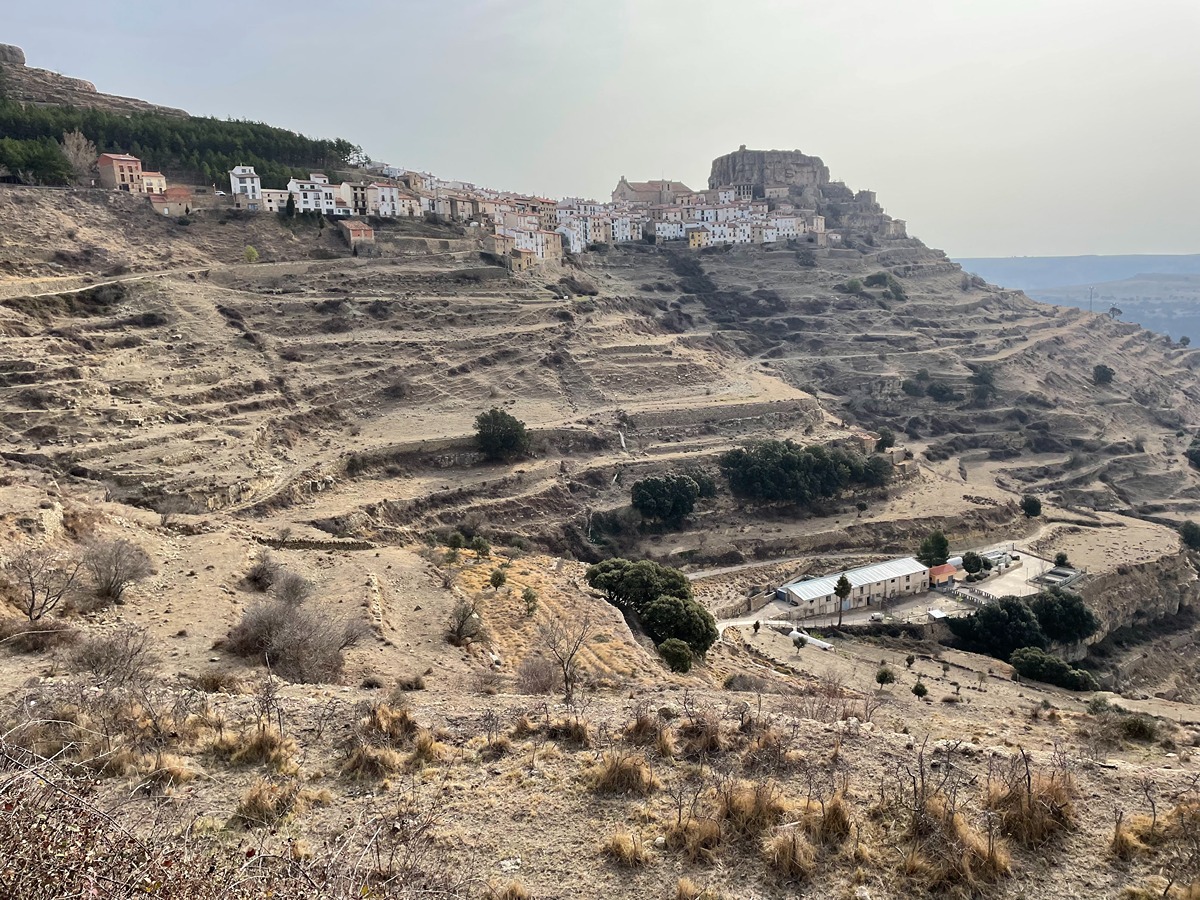
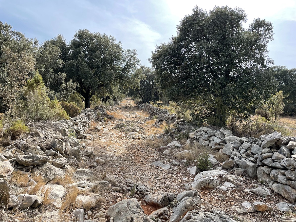
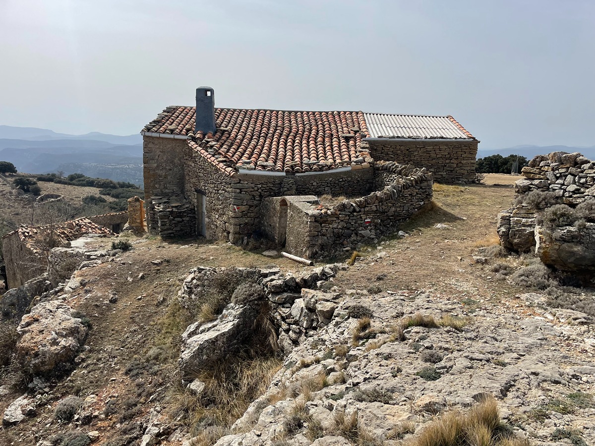
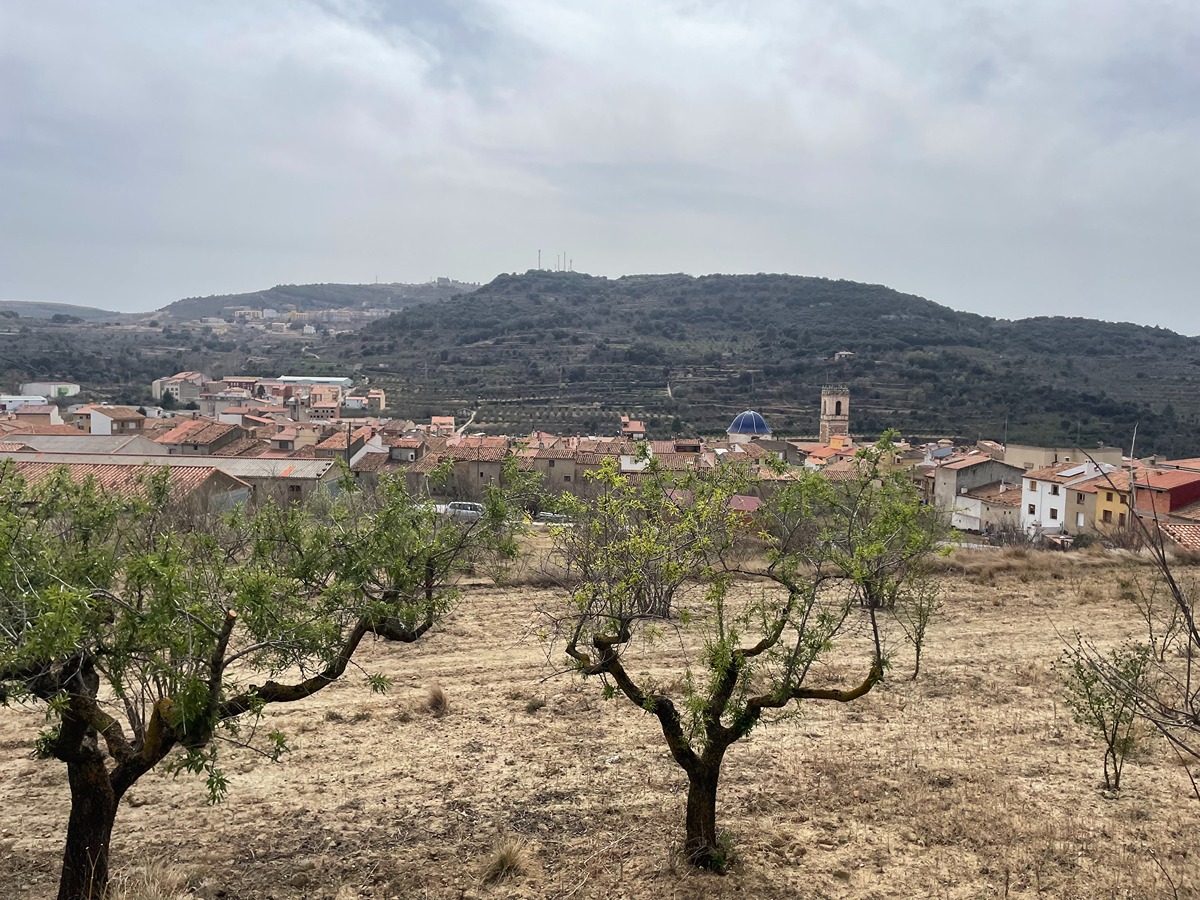
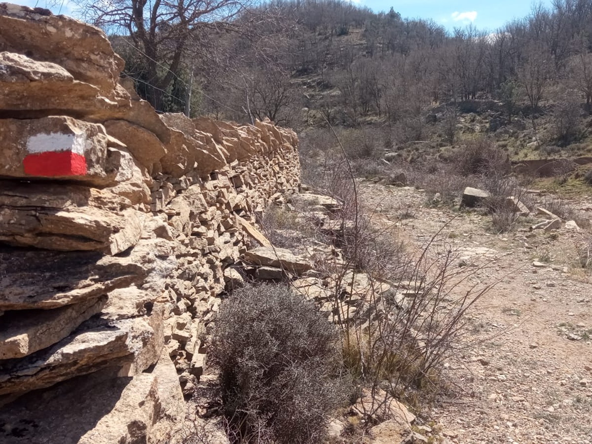
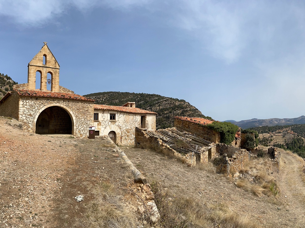
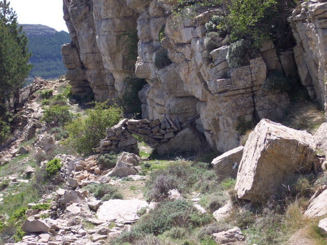
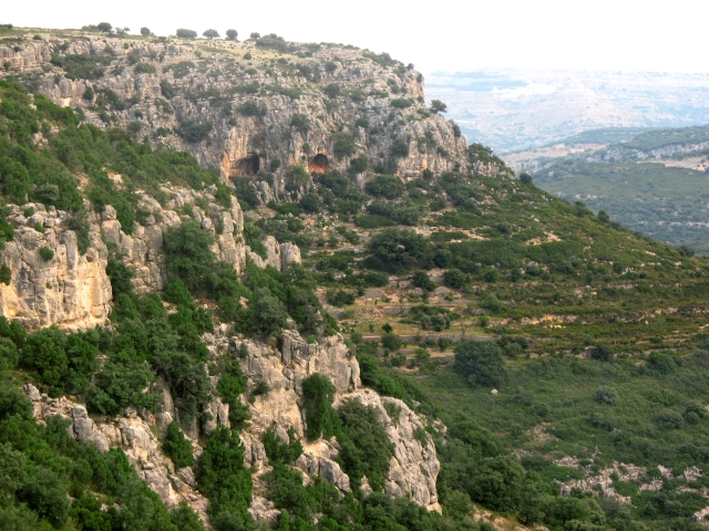
This route connections two emblematic towns in the province of Castelló with a landscape that combines stretches of sparse vegetation with oak and holm oak forests. The highlights of this route include the different rural estates that indicate the importance that these towns once had in the livestock sector.
Trail:
One way (point-to-point)
Main

GR 7 COMUNITAT VALENCIANA. FREDES - EL PINÓS/PINOSO
Promoter: Generalitat Valenciana
Certification status: See stages
Reference municipality: Pobla de Benifassà (La)
Length: 586,60 km
Estimated walking time: 180:35:00
Elevation gain: 17.635 m
Elevation loss: 18.585 m
(0)
Previos stage
GR 7 E27 MORELLA - ARES DEL MAESTRAT
Promoter: Generalitat Valenciana
Certification status: Positive quality control
Etapa número: 27
Reference municipality: Morella
Length: 24,20 km
Estimated walking time: 07:25:00
Elevation gain: 780 m
Elevation loss: 530 m
(0)
Next stage
GR 7 E29 CULLA - VISTABELLA DEL MAESTRAT
Promoter: Generalitat Valenciana
Certification status: Positive quality control
Etapa número: 29
Reference municipality: Culla
Length: 18,90 km
Estimated walking time: 06:25:00
Elevation gain: 879 m
Elevation loss: 680 m
(0)
Other trails connecting with this trail
PR-CV 1 CULLA - VILAFRANCA DEL CID - LA POBLA DEL BELLESTAR - LA IGLESUELA DEL CID
Promoter: Ayuntamiento de Villafranca del Cid
Certification status: No quality controls
Reference municipality: Culla
Length: 31,80 km
Estimated walking time: 10:25:00
Elevation gain: 1.270 m
Elevation loss: 1.090 m
(0)
SL-CV 45 CAMÍ DELS MOLINS
Promoter: Ayuntamiento de Ares del Maestrat
Certification status: No quality controls
Reference municipality: Ares del Maestrat
Length: 5,70 km
Estimated walking time: 02:05:00
Elevation gain: 315 m
Elevation loss: 315 m
(0)
SL-CV 46 CAMÍ DE LA MOLA D´ARES
Promoter: Ayuntamiento de Ares del Maestrat
Certification status: No quality controls
Reference municipality: Ares del Maestrat
Length: 5,00 km
Estimated walking time: 01:35:00
Elevation gain: 160 m
Elevation loss: 160 m
(0)
SL-CV 102 BARRANC DE LA FRESCA
Promoter: Ayuntamiento Benassal
Certification status: Positive quality control
Reference municipality: Benassal
Length: 9,20 km
Estimated walking time: 02:45:00
Elevation gain: 230 m
Elevation loss: 230 m
(1)

SL-CV 171 ARES - LA MONTALBANA
Promoter: Ayuntamiento de Ares del Maestrat
Certification status: In process of approval
Reference municipality: Ares del Maestrat
(0)
PR-CV 294 CAMI VELL DE BENASSAL A VISTABELLA (PEL MOLI DEL PAS)
Promoter: Ayuntamiento Benassal
Certification status: Conditioned quality control
Reference municipality: Benassal
Length: 9,20 km
Estimated walking time: 03:00:00
Elevation gain: 270 m
Elevation loss: 470 m
(0)
PR-CV 297 COVA DEL BOVALAR
Promoter: Ayuntamiento de Culla
Certification status: No quality controls
Reference municipality: Culla
Length: 11,30 km
Estimated walking time: 03:45:00
Elevation gain: 430 m
Elevation loss: 430 m
(0)
GR 331 E15 ARES DEL MAESTRAT - VILAFRANCA
Promoter: Mancomunitat Comarcal Els Ports
Certification status: Valid
Etapa número: 15
Reference municipality: Ares del Maestrat
Length: 14,20 km
Estimated walking time: 04:15:00
Elevation gain: 250 m
Elevation loss: 320 m
(1)
PR-CV 387 CAMÍ DEL ROURE DE LES BERRUGUES
Promoter: Ayuntamiento de Ares del Maestrat
Certification status: No quality controls
Reference municipality: Ares del Maestrat
Length: 10,70 km
Estimated walking time: 03:10:00
Elevation gain: 155 m
Elevation loss: 360 m
(0)
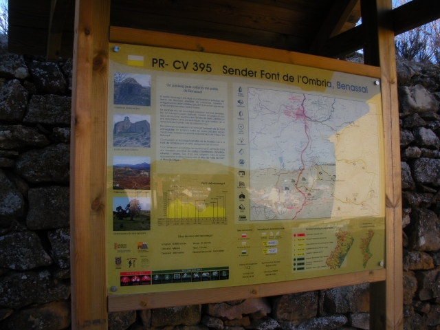
PR-CV 395 FONT DE L'OMBRIA
Promoter: Club de Muntanya de Benassal
Certification status: No quality controls
Reference municipality: Benassal
Length: 15,30 km
Estimated walking time: 04:25:00
Elevation gain: 640 m
Elevation loss: 640 m
(0)