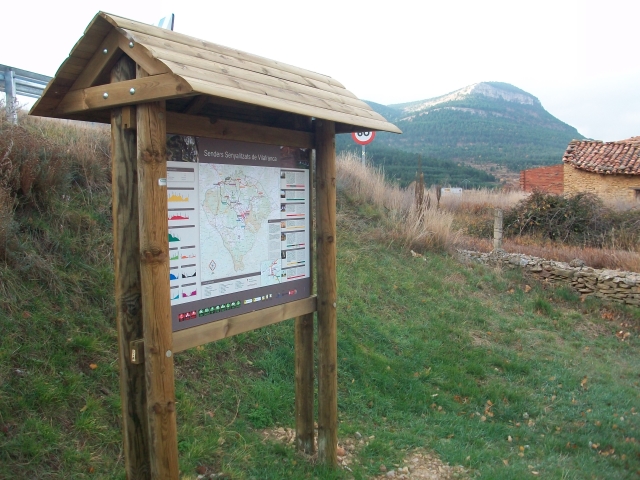
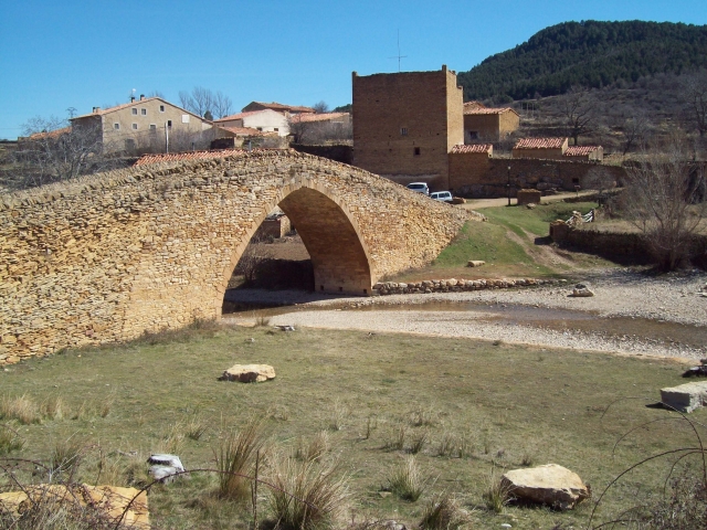
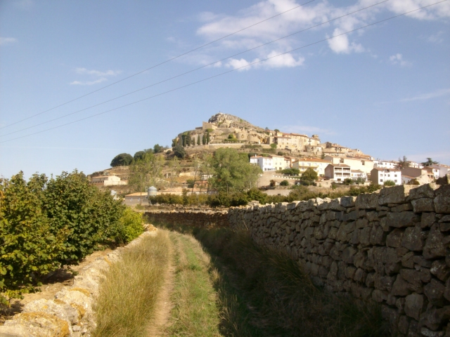
PR-CV 1 CULLA - VILAFRANCA DEL CID - LA POBLA DEL BELLESTAR - LA IGLESUELA DEL CID
Promoter: Ayuntamiento de Villafranca del Cid
Certification status: No quality controls
There is no proof of quality control on the record of this trail in the last years. For this reason, it is unknown whether it complies with the optimal signage and maintenance conditions for hikers to take the trail following these signs exclusively.
Hikers have to take into consideration that the information about the signage and maintenance of the trails for which the promoter entity is responsible might not be up to date anymore, since it refers to its state on the date of its approval. Furthermore, mountain sports entail risks associated with the activity itself and the environment where they take place, for which any person is fully liable. For this reason, hikes need to be planned properly and adequate training, equipment and sensible use of the trails are required.
Other trails connecting with this trail
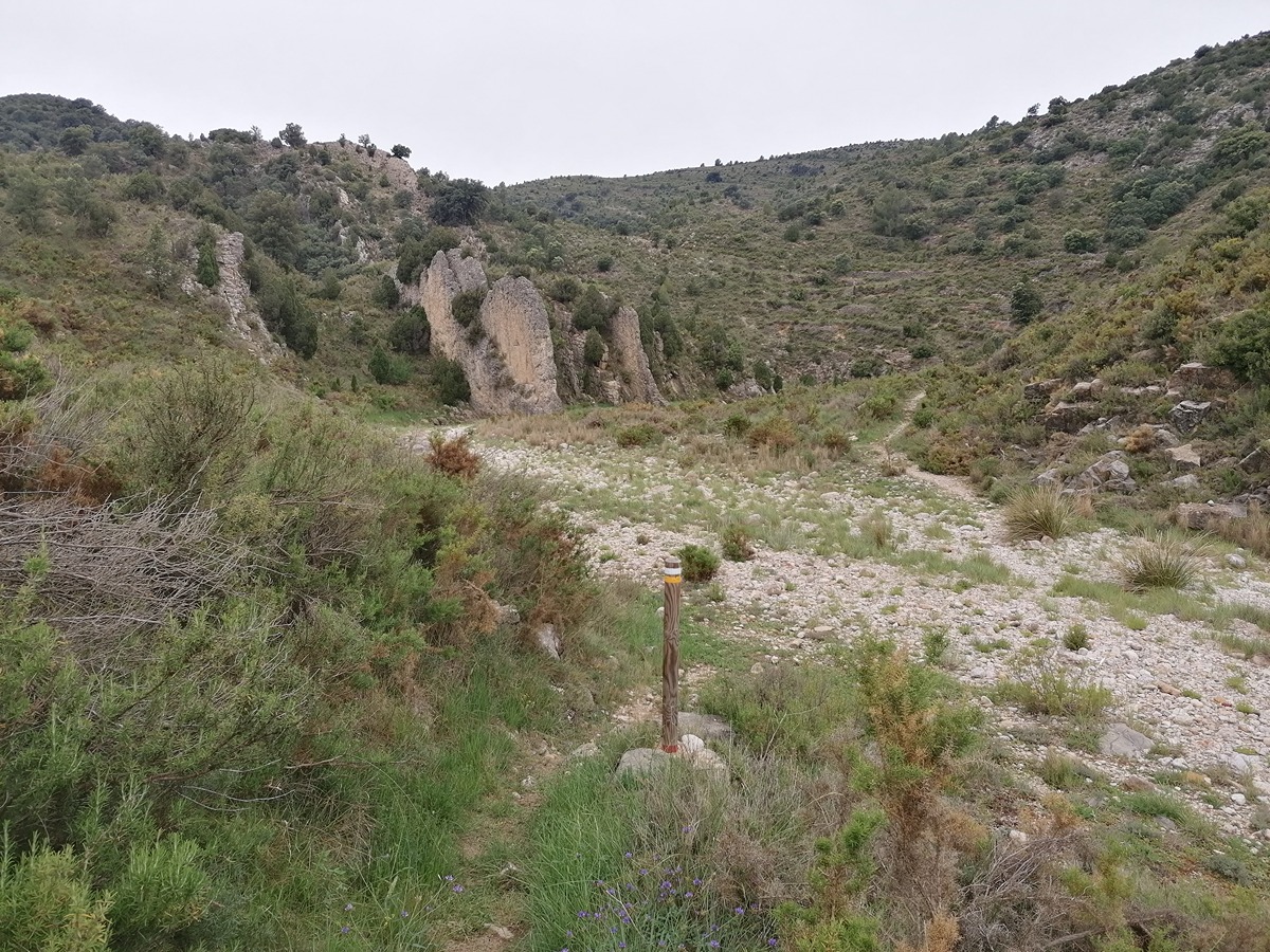
GR 7 E28 ARES DEL MAESTRAT - CULLA
Promoter: Generalitat Valenciana
Certification status: Positive quality control
Etapa número: 28
GR 7 E29 CULLA - VISTABELLA DEL MAESTRAT
Promoter: Generalitat Valenciana
Certification status: Positive quality control
Etapa número: 29

GR 7 COMUNITAT VALENCIANA. FREDES - EL PINÓS/PINOSO
Promoter: Generalitat Valenciana
Certification status: See stages
SL-CV 18.1 LA GOTERA - ASSAGADOR D'EMPRIU
Promoter: Ayuntamiento de Villafranca del Cid
Certification status: No quality controls
SL-CV 18.2 LA POBLA DEL BELLESTAR - VILAFRANCA
Promoter: Ayuntamiento de Villafranca del Cid
Certification status: No quality controls
SL-CV 18.4 LES COVES DEL FORCALL
Promoter: Ayuntamiento de Villafranca del Cid
Certification status: No quality controls
SL-CV 18.3 LA TRINITAT
Promoter: Ayuntamiento de Villafranca del Cid
Certification status: No quality controls
SL-CV 65.2 CULLA - MOLINS DE VENT
Promoter: Ayuntamiento de Culla
Certification status: No quality controls

PR-CV 225 CAMÍ ROCA PENYALCALVA
Promoter: Ayuntamiento de Culla
Certification status: No quality controls
PR-CV 294 CAMI VELL DE BENASSAL A VISTABELLA (PEL MOLI DEL PAS)
Promoter: Ayuntamiento Benassal
Certification status: Conditioned quality control
PR-CV 297 COVA DEL BOVALAR
Promoter: Ayuntamiento de Culla
Certification status: No quality controls