
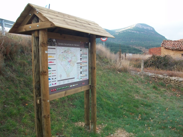
PR-CV 402 EMPRIU
Promoter: Ayuntamiento de Villafranca del Cid
Certification status: No quality controls
There is no proof of quality control on the record of this trail in the last years. For this reason, it is unknown whether it complies with the optimal signage and maintenance conditions for hikers to take the trail following these signs exclusively.
Hikers have to take into consideration that the information about the signage and maintenance of the trails for which the promoter entity is responsible might not be up to date anymore, since it refers to its state on the date of its approval. Furthermore, mountain sports entail risks associated with the activity itself and the environment where they take place, for which any person is fully liable. For this reason, hikes need to be planned properly and adequate training, equipment and sensible use of the trails are required.
Alternative routes and routes leading to nearby points of interest

PR-CV 402 DERIVACIÓN
Promoter: Ayuntamiento de Villafranca del Cid
Certification status: No quality controls
PR-CV 402.1 VARIANTE
Promoter: Ayuntamiento de Villafranca del Cid
Certification status: No quality controls
Other trails connecting with this trail
PR-CV 1 CULLA - VILAFRANCA DEL CID - LA POBLA DEL BELLESTAR - LA IGLESUELA DEL CID
Promoter: Ayuntamiento de Villafranca del Cid
Certification status: No quality controls
SL-CV 18.2 LA POBLA DEL BELLESTAR - VILAFRANCA
Promoter: Ayuntamiento de Villafranca del Cid
Certification status: No quality controls
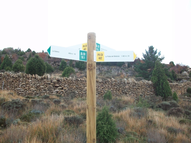
SL-CV 18.1 LA GOTERA - ASSAGADOR D'EMPRIU
Promoter: Ayuntamiento de Villafranca del Cid
Certification status: No quality controls
PR-CV 309 CASTELLFORT - VILAFRANCA
Promoter: Ayuntamiento de Castellfort
Certification status: Negative quality control
GR 331 E01 VILAFRANCA - PORTELL
Promoter: Mancomunitat Comarcal Els Ports
Certification status: Valid
Etapa número: 1