
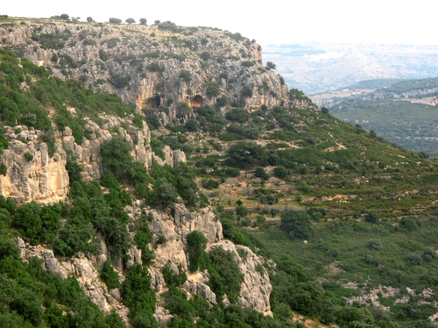
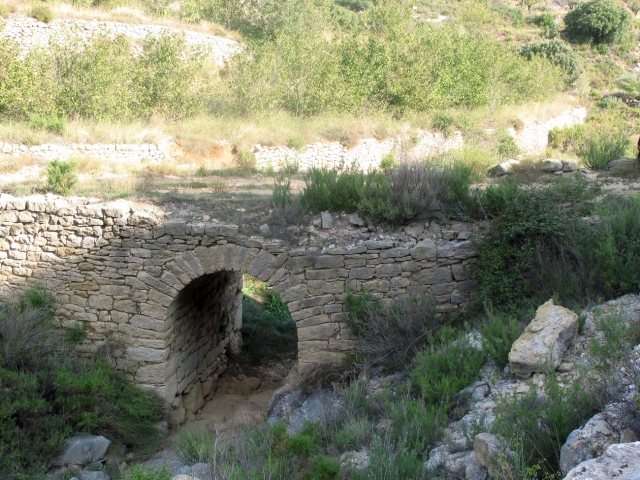
SL-CV 102 BARRANC DE LA FRESCA
Promoter: Ayuntamiento Benassal
Certification status: Positive quality control
1 review
This path shows you the typical landscape of the Alt Maestrat region, crossing the Fresca ravine, a place of great ecological value due to its great variety of autochthonous flora.
Trail:
Loop
Other trails connecting with this trail
GR 7 E28 ARES DEL MAESTRAT - CULLA
Promoter: Generalitat Valenciana
Certification status: Positive quality control
Etapa número: 28
Reference municipality: Ares del Maestrat
Length: 18,00 km
Estimated walking time: 05:45:00
Elevation gain: 550 m
Elevation loss: 670 m
(0)

GR 7 COMUNITAT VALENCIANA. FREDES - EL PINÓS/PINOSO
Promoter: Generalitat Valenciana
Certification status: See stages
Reference municipality: Pobla de Benifassà (La)
Length: 586,60 km
Estimated walking time: 180:35:00
Elevation gain: 17.635 m
Elevation loss: 18.585 m
(0)
PR-CV 294 CAMI VELL DE BENASSAL A VISTABELLA (PEL MOLI DEL PAS)
Promoter: Ayuntamiento Benassal
Certification status: Conditioned quality control
Reference municipality: Benassal
Length: 9,20 km
Estimated walking time: 03:00:00
Elevation gain: 270 m
Elevation loss: 470 m
(0)
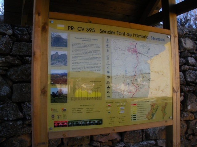
PR-CV 395 FONT DE L'OMBRIA
Promoter: Club de Muntanya de Benassal
Certification status: No quality controls
Reference municipality: Benassal
Length: 15,30 km
Estimated walking time: 04:25:00
Elevation gain: 640 m
Elevation loss: 640 m
(0)