Cambiar idioma a español / Cambiar idioma a english / Cambiar idioma a valencià

Rate this trail

GR 7 E36 ANDILLA - CHELVA

Promoter: Generalitat Valenciana

Certification status: Positive quality control

0 reviews

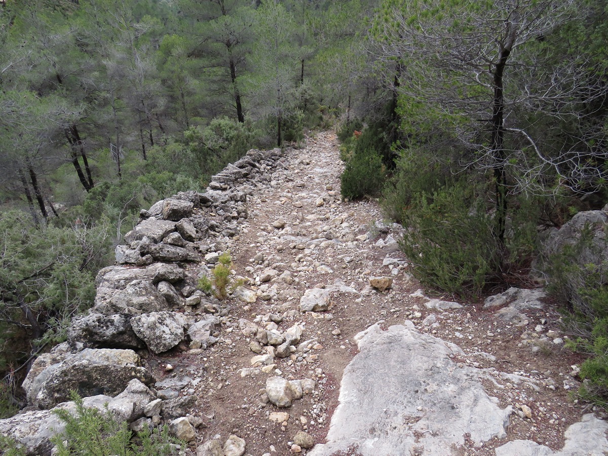
Our route runs along stretches of track, old paths and communication roads between the towns of Andilla and Chelva, as well as some stretches along the inner part of the Alcotas wadi.

Trail:
One way (point-to-point)
Technical data:
Length:
25,90 km
Estimated walking time:
08:10:00
Elevation gain:
625 m
Elevation loss:
1.115 m
MIDE ratings:
Level of natural risks:
3
Navigation on the trail:
2
Hiking difficulty:
2
Fitness level needed:
4

More information at Montaña Segura

Difficulty rating according to FEDME:
Unknown
Starting point:
Andilla  
Interest Tags:
Trail with geological interest
Trail with historical-artistic interest

Useful information:
Date of the act of registration in the Public Register:
22-05-2007
Date of the last Quality Control:
february de 2024
Reference municipality:
Other municipalities through which it passes:
District:
Province:
Valencia/València
Cartography IGN MTN25:
0638-4; 0639-3; 0666-2; 0666-4

You can download them from the IGN Map Library Catalog

See other trails of this promoter:
Protected Natural Spaces:

It is recommended to consult the regulations and/or authorizations for the use of trails in these protected natural areas on the website of the Regional Ministry of Environment, Water, Infrastructure, and Territory

  • Alto Turia (Biosphere reserve)
  • Alto Turia y Sierra del Negrete (SPAB - Special Protection Area for Birds)
  • Rambla de Alcotas (Flora Micro-reserve)
Weather information:
Nearest AVAMET weather station
Key points of the route:

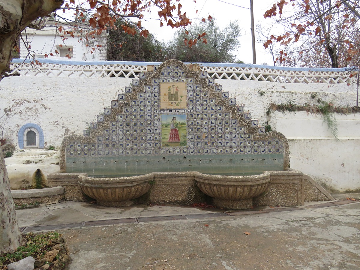
Andilla - La Pobleta - Corrales de Ubiela (corrals) - Camino de la Torda (path) - Trincheras - Alcotas - Rambla de Alcotas (wadi) - Fuente de la Gitana (spring) - Chelva

Route description (only available in Spanish)

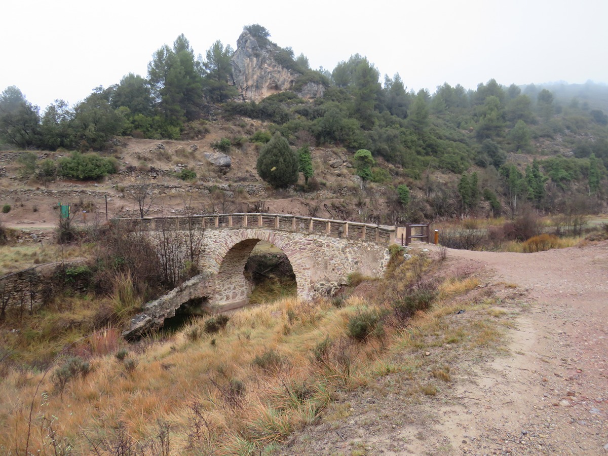
Partimos junto al lavadero público callejeando hasta la travesía de la Cruz Roja donde tomamos una senda en descenso para cruzar el puente medieval, pasar por el antiguo molino y ascender hasta la cruz de la Horca. Nos dirigimos hacia la aldea de la Pobleta que atravesamos para buscar la carretera y tomar el desvío en los corrales de Ubiela donde se inicia el ascenso por un camino que se convertirá en senda.

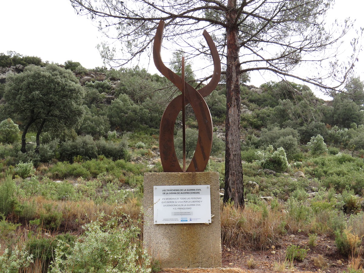
Cruzamos más adelante el barranco de la Torda y seguimos por caminos hasta cruzarnos con la pista que lleva al cerro Nevera. Llegamos a la central del parque eólico Cerro Nevera y tomaremos una senda en dirección a la fuente Torda. Continuamos a través de pinares y por un camino. Justo antes de llegar a la carretera CV-345 nos encontramos con una serie de trincheras recuperadas de la Guerra Civil. Cruzamos la carretera y al poco tomamos un camino de tierra que va paralelo a la aldea de Alcotas que abandonaremos para adentrarnos en la rambla del mismo nombre.

A partir de aquí nuestro sendero va serpenteando, entrando y saliendo de la rambla tomando tramos de pista forestal que nos dirigen hacia la población de Chelva. Antes tomamos un pequeño desvío para visitar la fuente de la Gitana y después por la plaza de toros entrar el en el casco urbano de Chelva.

Downloads:

Beware! Navigation devices may fail, batteries may run out of power and devices may break down. Do not use only electronic means to track your activities in the mountains; they must be used as a complement to the map and compass. Get some proper training and enjoy the mountains.

Other trails connecting with this trail