
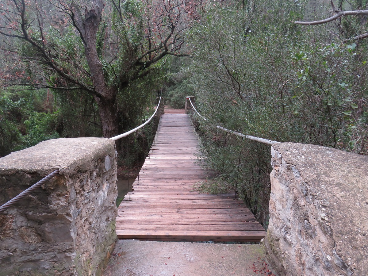

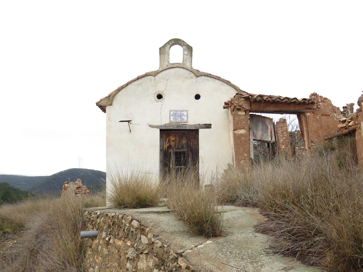
GR 7 E37 CHELVA - BENAGÉBER
Promoter: Generalitat Valenciana
Certification status: temporary cancellation
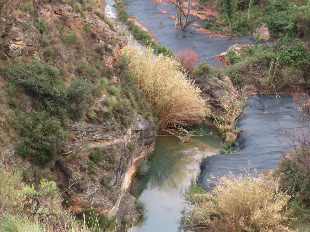
ATTENTION: The Turia river crossing is cut off due to the effects of the DANA of 29/10/2024, making it impossible to cross at Barchel. We are working on an alternative crossing,