Cambiar idioma a español / Cambiar idioma a english / Cambiar idioma a valencià

Rate this trail

GR 7 E38 BENAGÉBER - CHERA

Promoter: Generalitat Valenciana

Certification status: Positive quality control

0 reviews

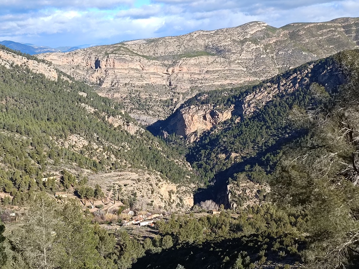
This stage of the route connections the towns of Benagéber and Chera, ascending to the Visos hill and then to the slopes of the emblematic Ropé peak, where you can enjoy fantastic views. The descent to Chelva leads through the beautiful ravine of El Agua.

Trail:
One way (point-to-point)
Technical data:
Length:
26,60 km
Estimated walking time:
08:00:00
Elevation gain:
605 m
Elevation loss:
745 m
MIDE ratings:
Level of natural risks:
2
Navigation on the trail:
2
Hiking difficulty:
2
Fitness level needed:
4

More information at Montaña Segura

Difficulty rating according to FEDME:
Unknown
Starting point:
End Point:
Interest Tags:
Trail with environmental interes
Trail with geological interest

Useful information:
Date of the act of registration in the Public Register:
22-05-2007
Date of the last Quality Control:
february de 2024
Reference municipality:
Other municipalities through which it passes:
District:
Province:
Valencia/València
Cartography IGN MTN25:
0666-3; 0694-1; 0694-2

You can download them from the IGN Map Library Catalog

See other trails of this promoter:
Protected Natural Spaces:

It is recommended to consult the regulations and/or authorizations for the use of trails in these protected natural areas on the website of the Regional Ministry of Environment, Water, Infrastructure, and Territory

  • Alto Turia (SAC - Special Area of Conservation)
  • Alto Turia (SIC - Site of Community Interest)
  • Alto Turia (Biosphere reserve)
  • Alto Turia y Sierra del Negrete (SPAB - Special Protection Area for Birds)
  • Chera - Sot de Chera (Natural Park)
  • Sierra del Negrete (SAC - Special Area of Conservation)
  • Sierra del Negrete (SIC - Site of Community Interest)
Weather information:
Nearest AVAMET weather station
Key points of the route:

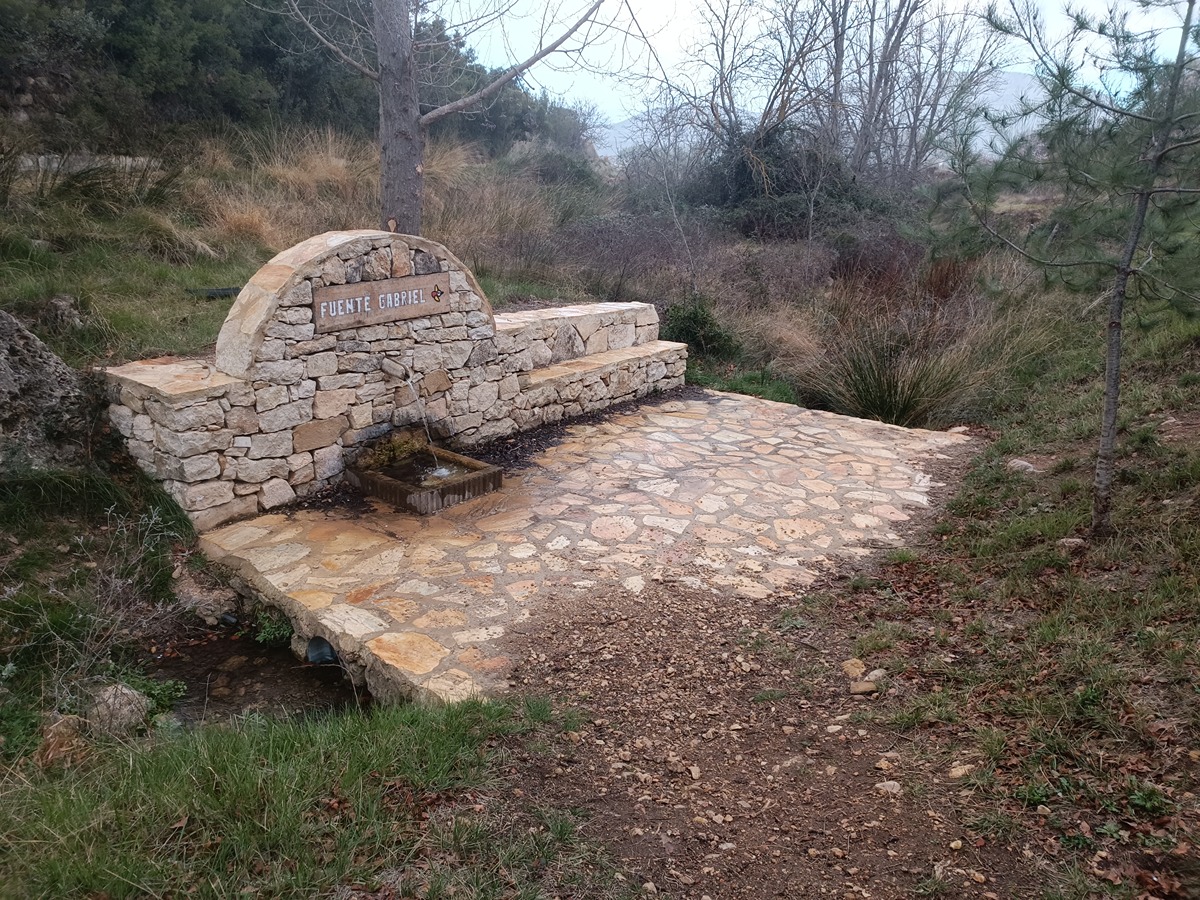
Benagéber - GR 7 stage connection - Collado de Nieva (col) - La Ceja, corral del Alto (corral) - Lomas del Ropé (hillock) (PR-CV 101 connection) - Barranco del Agua (ravine) (SL-CV 131 connection) - Fuente Gabriel (spring) - Fuente del Barrio (spring) (PR-CV 101 and PR-CV 102 connection) - Chera

Route description (only available in Spanish)

Salimos de Benagéber siguiendo el trazado de la etapa anterior hasta el cruce de las dos etapas. Ahora, continuamos rectos pasando por la casa de Mingo y subiendo hacia la casa y la loma de Los Visos. Bajamos hacia el collado de Nieva y seguimos descendiendo por la pista hasta el mas de Cervera y la fuente de Chelva.

Empezamos la subida hacia el corral del Alto y continuamos a la ceja del Mas del Pinar por la vereda de ganado con vistas del pico del Remedio de Utiel a nuestra derecha y el pico del Remedio de Chelva a nuestra izquierda. Finalmente, llegamos a la parte más alta del recorrido en la majada de los Borregos.

Iniciamos la bajada por el barranco del Agua siguiendo el camino del Repetidor. La senda pasa por debajo de la formación geológica de las Dolomías y continúa por el barranco pasando cerca de la fuente Gorda y por la fuente Gabriel para llegar a Chera por el frondoso paraje de “La Selveta” entrando por la fuente del Barrio hasta el ayuntamiento.

Downloads:

Beware! Navigation devices may fail, batteries may run out of power and devices may break down. Do not use only electronic means to track your activities in the mountains; they must be used as a complement to the map and compass. Get some proper training and enjoy the mountains.

Comments:
Tourism and cultural resources:

Other trails connecting with this trail