Cambiar idioma a español / Cambiar idioma a english / Cambiar idioma a valencià

Rate this trail

GR 7 E39 CHERA - SIETE AGUAS

Promoter: Generalitat Valenciana

Certification status: Positive quality control

1 review

Stage between the towns of Chera and Siete Aguas leading to the beautiful waterfall of Chorrero de la Castellana and sites of geological interest, namely the nature park of Chera-Sot de Chera. In the final stretch you can take a look at some of the water springs of Siete Aguas such as La Vallesa, Papán, La Gota and El Garbanzo.

Trail:
One way (point-to-point)
Technical data:
Length:
21,00 km
Estimated walking time:
06:35:00
Elevation gain:
650 m
Elevation loss:
595 m
MIDE ratings:
Level of natural risks:
2
Navigation on the trail:
2
Hiking difficulty:
2
Fitness level needed:
4

More information at Montaña Segura

Difficulty rating according to FEDME:
Unknown
Starting point:
Interest Tags:
Trail with geological interest
Trail with historical-artistic interest

Useful information:
Date of the act of registration in the Public Register:
22-05-2007
Date of the last Quality Control:
february de 2024
Reference municipality:
Other municipalities through which it passes:
District:
Province:
Valencia/València
Cartography IGN MTN25:
0694-2; 0694-4; 0720-2

You can download them from the IGN Map Library Catalog

See other trails of this promoter:
Protected Natural Spaces:

It is recommended to consult the regulations and/or authorizations for the use of trails in these protected natural areas on the website of the Regional Ministry of Environment, Water, Infrastructure, and Territory

  • Alto Turia y Sierra del Negrete (SPAB - Special Protection Area for Birds)
  • Chera - Sot de Chera (Natural Park)
  • Sierra del Negrete (SIC - Site of Community Interest)
  • Sierra del Negrete (SAC - Special Area of Conservation)
Weather information:
Nearest AVAMET weather station
Key points of the route:

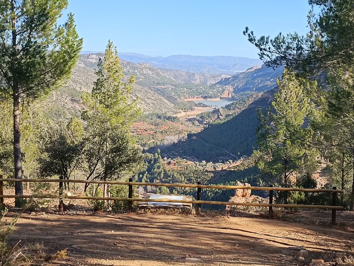
Chera - Fuente del Rodenillo (spring) - Chorrero de la Castellana (waterfall) - Puente río Reatillo (bridge) - Mirador embalse Buseo (viewpoint) - Corral de la Cargaera (la Madroñosa) (corral) - Casa de Carpinteros (house) - Prado Juana (track) - Fuente de la Vallesa (spring) - Fuente Papán (spring) - Fuente del Garbanzo (spring) - Siete Aguas

Route description (only available in Spanish)

Salimos de Chera en dirección sur por el camino de la Madroñosa pasando por el ecoparque. Después de dos kilómetros por pista cogemos a la derecha la senda de la fuente del Rodenillo. Pasada la fuente, el sendero baja hasta el barranco de la Umbría de la Sima donde un corto desvío de 100 metros nos acercará a contemplar el bello salto de agua del Chorrero de la Castellana.

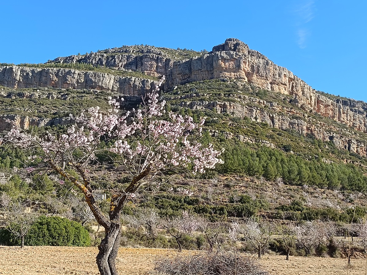
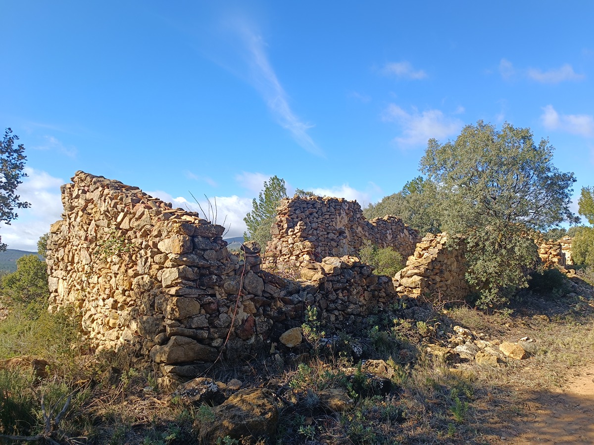
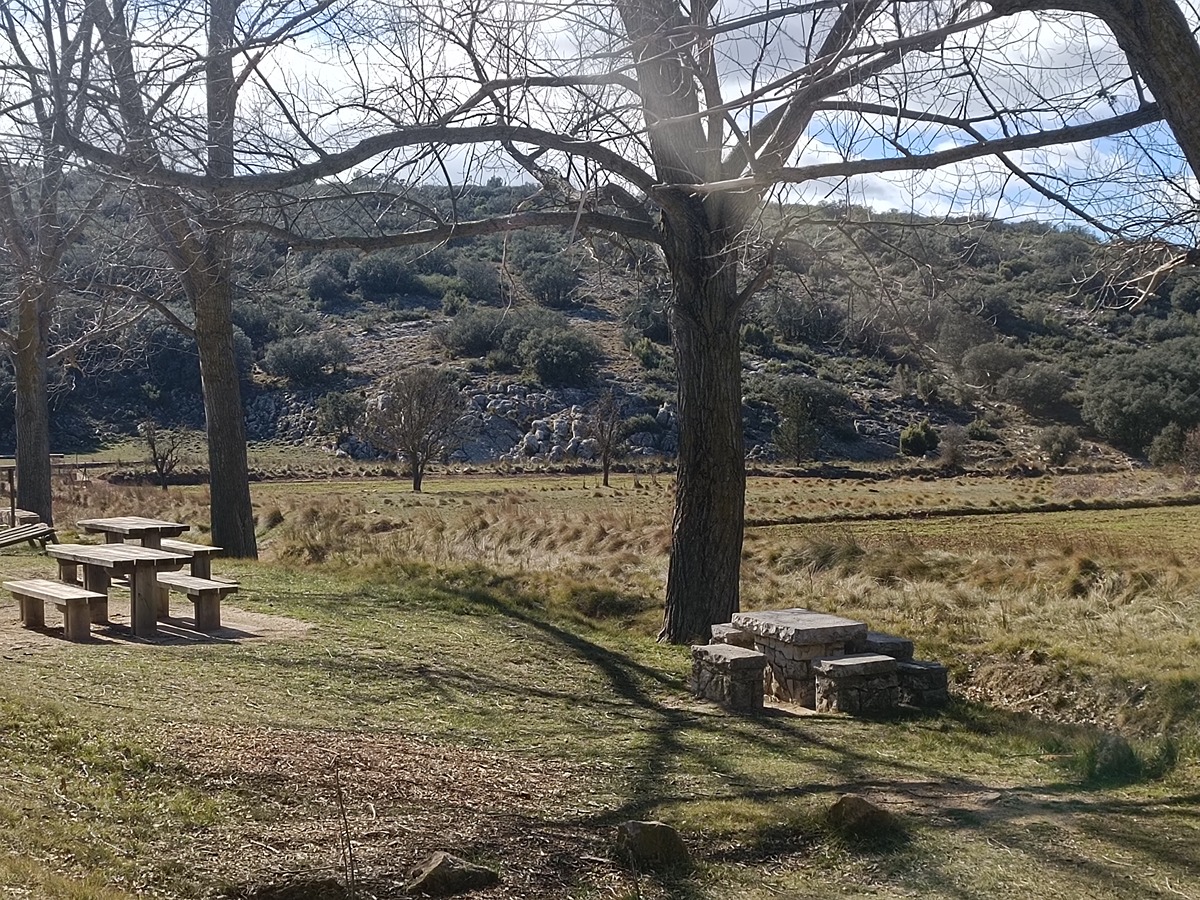
Continuamos el sendero y llegamos de nuevo a la pista cerca del puente que cruza el río Reatillo. Pasado el puente un desvío de 250 metros nos lleva al área recreativa de la fuente Romero. Seguimos por la pista que sube hacia la sierra del Burgal pasando por el corral de la Cargaera en el paraje de la Madroñosa. Pasamos por debajo de los cortados del alto del Burgal y del alto de Santa María entre campos de secano. Dejamos la pista y cogemos el camino que pasa junto a la casa de los Carpinteros y el corral de Margarita. Llegamos al bonito paraje de la casa de Prado Juana y salimos a la pista que por la izquierda nos llevará hasta el área recreativa de la fuente de la Vallesa. Cruzamos la rambla y seguimos por un sendero que nos lleva a la casa de la Vallesa. Pasamos entre viñedos para coger el sendero de la Coneja que pasa por la rambla de la Vallesa. Salimos a una pista por la que subimos durante menos de un kilómetro hasta que llegamos a una senda a la derecha. Esta senda nos baja hasta el barranco y la fuente Papán. Llegamos al poco a la entrada de Siete Aguas pasando por la fuente de la Gota y la fuente del Garbanzo.

Downloads:

Beware! Navigation devices may fail, batteries may run out of power and devices may break down. Do not use only electronic means to track your activities in the mountains; they must be used as a complement to the map and compass. Get some proper training and enjoy the mountains.

Comments:

Other trails connecting with this trail