Cambiar idioma a español / Cambiar idioma a english / Cambiar idioma a valencià

Rate this trail

GR 7 E41 CAMPAMENTO TABARLA - CORTES DE PALLÁS

Promoter: Generalitat Valenciana

Certification status: Positive quality control

0 reviews

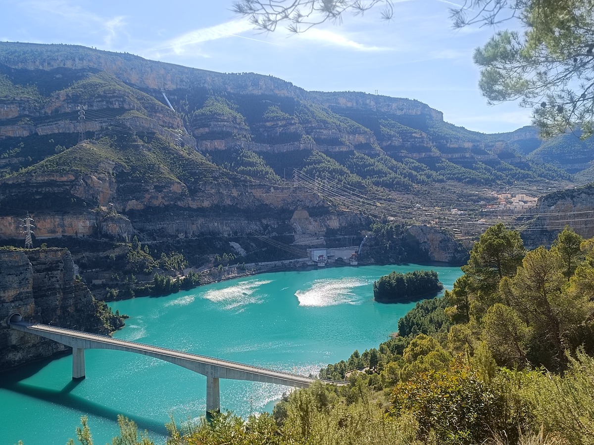
A stage between the Tabarla campsite and the town of Cortes de Pallás, where you can climb the Sierra Martés mountain range near the Ñoño peak and then descend to Venta Gaeta to make another ascent to the Muela de Albéitar butte. In its final stretch, you walk along the section of the road that leads to Cortes de Pallás, crossing the reservoir over a bridge and through a tunnel.

Trail:
One way (point-to-point)
Technical data:
Length:
26,40 km
Estimated walking time:
08:50:00
Elevation gain:
1.035 m
Elevation loss:
1.090 m
MIDE ratings:
Level of natural risks:
2
Navigation on the trail:
2
Hiking difficulty:
2
Fitness level needed:
4

More information at Montaña Segura

Difficulty rating according to FEDME:
Unknown
Starting point:
Interest Tags:
Trail with geological interest
Trail with historical-artistic interest

Useful information:
Date of the act of registration in the Public Register:
22-05-2007
Date of the last Quality Control:
february de 2024
Reference municipality:
Other municipalities through which it passes:
District:
Province:
Valencia/València
Cartography IGN MTN25:
0720-4; 0745-2; 0745-4

You can download them from the IGN Map Library Catalog

See other trails of this promoter:
Protected Natural Spaces:

It is recommended to consult the regulations and/or authorizations for the use of trails in these protected natural areas on the website of the Regional Ministry of Environment, Water, Infrastructure, and Territory

  • Sierra de Martés - Muela de Cortes (SPAB - Special Protection Area for Birds)
  • Sierra de Martés y el Ave (SIC - Site of Community Interest)
  • Sierras de Martés y el Ave (SAC - Special Area of Conservation)
  • Tabarla (Municipal Natural Site)
Weather information:
Nearest AVAMET weather station
Key points of the route:

Campamento de Tabarla (camp) - Corral de Nicanor (corral) - Collado Rodeno (col) - Venta Gaeta (country inn) - Muela del Albéitar (butte) - Puente embalse Cortes II (reservoir bridge) - Cortes de Pallás

Route description (only available in Spanish)

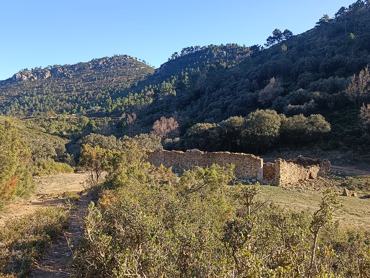
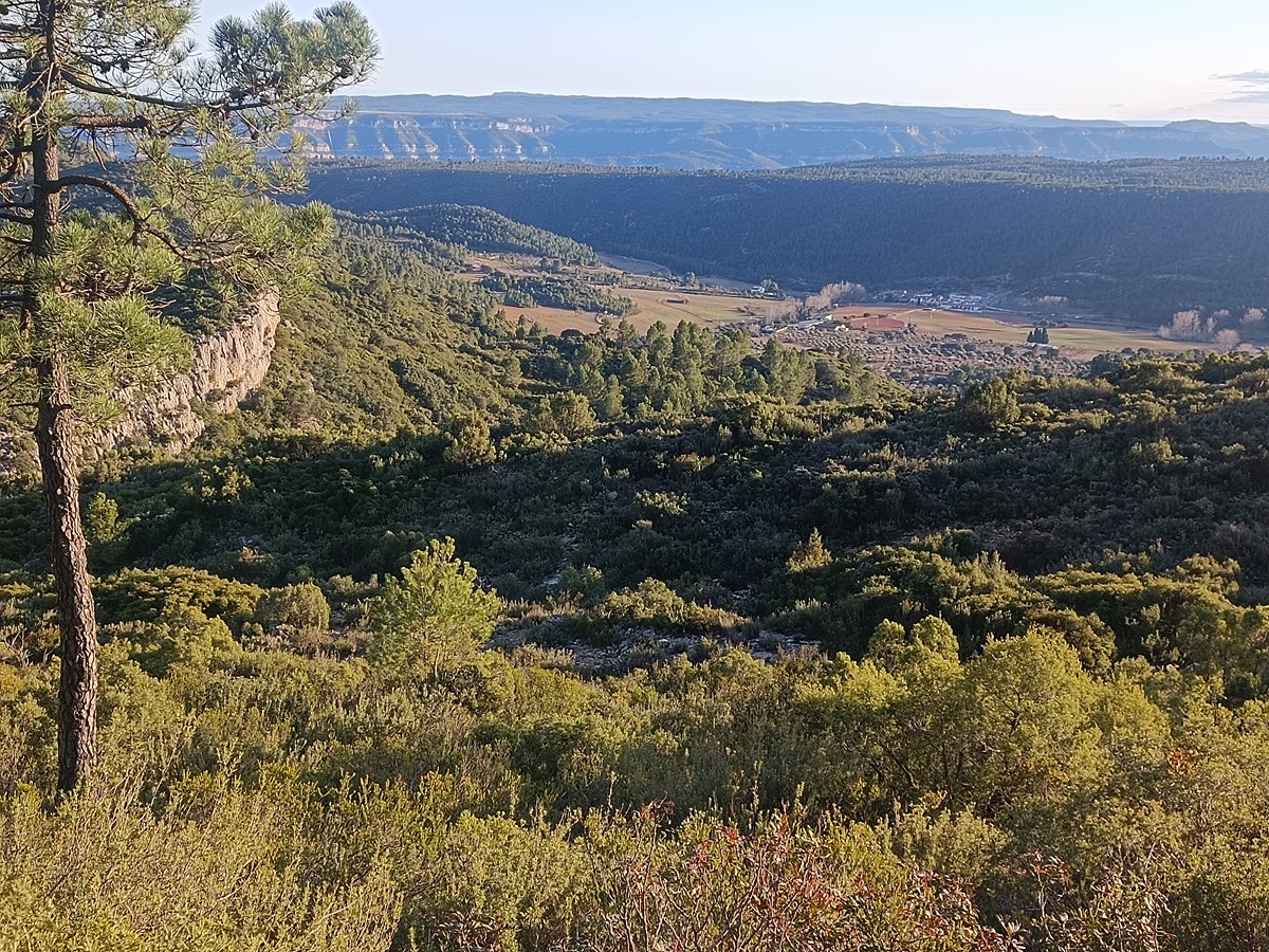
Iniciamos la etapa en el Campamento de Tabarla de Yátova subiendo por una senda en el entorno del prado de los Frailes hasta alcanzar los altos de la sierra, contrafuerte de la sierra de Martés. Bajamos al collado de los Carros y continuamos por camino ancho hasta el corral de Nicanor. Seguimos por pista pasando por la loma de la Hoya Mariquí y subiendo hasta el collado de Rodeno (972 msnm). El GR cruza a la cara sur de la sierra de Martés pasando bajo los cortados el pico Ñoño. Continuamos por la pista y enseguida encontramos una senda a la derecha por la que bajamos hacia el caserío de Venta Gaeta, antigua parada de posta.

Desde la aldea subimos por una senda hasta la muela del Albéitar y llegamos al camino del Herrero que recorremos unos metros para abandonarlo por la izquierda por un carril que nos acercará al inicio del barranco donde encontramos la cueva-corral de los Conejos. Una senda baja a la cueva y continua por el fondo del barranco hasta el paraje de los Majadales. Tras una pequeña subida hasta una pista bajamos al poco de la muela del Albéitar por otra senda que recorre los espectaculares cortados del barranco de Espitel pasando por el Picayo hasta la pista asfaltada de Cofrentes a Cortes de Pallás. Seguimos esta pista hasta que llegamos a la carretera CV-428 por la que caminaremos con precaución durante 7 km. Atravesaremos el puente y cruzaremos el túnel para finalizar la etapa en Cortes de Pallás.

Downloads:

Beware! Navigation devices may fail, batteries may run out of power and devices may break down. Do not use only electronic means to track your activities in the mountains; they must be used as a complement to the map and compass. Get some proper training and enjoy the mountains.

Other trails connecting with this trail