Rate this trail

PR-CV 122 DERIVACIÓ A ONTINYENT

Promoter: Ayuntamiento de Ontinyent

Certification status: Valid

1 review

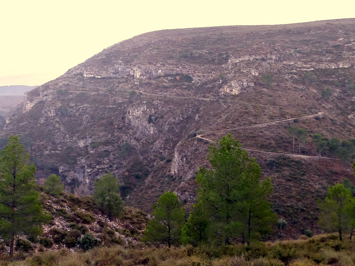
Route that allows us to access the cemetery of Ontinyent.

Trail:
One way (point-to-point)
Technical data:
Length:
3,30 km
Estimated walking time:
03:40:00
Elevation gain:
135 m
Elevation loss:
235 m
MIDE ratings:
Level of natural risks:
2
Navigation on the trail:
2
Hiking difficulty:
2
Fitness level needed:
2

More information on Montaña Segura

Difficulty rating according to FEDME:
Unknown
Starting point:
End Point:
Useful information:
Reference municipality:
Otros municipios por los que transcurre:
District:
Province:
Valencia/València
Cartography IGN MTN25:
0820-2

Downloadable from the Catalogue of the IGN Map Library

See other trails of this promoter:
Protected Natural Spaces:

We advise you to look up the regulations and/or authorisations for using the trails in these conservation areas on the website of the Conselleria de Medio Ambiente, Agua, Infraestructuras y Territorio

  • Serra de l'Ombria - Pou Clar (Municipal Natural Site)
  • Sierra de Mariola y Carrascar de la Font Roja (SIC - Site of Community Interest)
Weather information:
Key points of the route:

Coll de la Dona (col) - Camí Vell (path) - Ctra. CV-81 (road) - Molí del Pas (mil) - Camí del Torrater (path) - Cementerio de Ontinyent (enlace PR-CV 121) (cemetery, PR-CV 121 connection)

Route description (only available in Spanish)

Desde el coll de la Dona, abandonamos el sendero principal del PR-CV 122 y continuamos por el camí Vell en dirección a Ontinyent. Por un trazado sinuoso y muy panorámico, entre cortados y barrancos profundos, el camino medieval entre las villas de Ontinyent y Bocairent baja hasta la carretera CV-81 y el fondo del barranco de l'Adern, el cual atravesamos gracias a un magnífico puente de sillares a la altura del molí del Pas, el más grande y mejor conservado de todos los que se instalaron en la zona para aprovechar los saltos de agua como energía. Durante el recorrido tenderemos presente los túneles y los imponentes muros de la línea de FFCC Xàtiva - Alcoy. Iniciamos ahora una rampa pronunciada de subida entre pinares jóvenes, hasta que logramos la pista de la serreta del Torrater, desde donde ya podemos divisar la ciudad de Ontinyent y todo su extenso término. Por la pista llegamos en breves minutos al cementerio de Ontinyent.

Downloads:

Beware! Navigation devices may fail, batteries may run out of power and devices may break down. Do not use only electronic means to track your activities in the mountains; they must be used as a complement to the map and compass. Get some proper training and enjoy the mountains.

Other trails connecting with this trail