Rate this trail

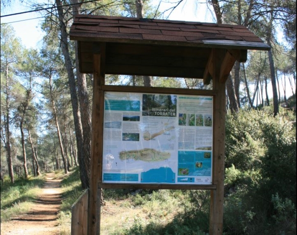
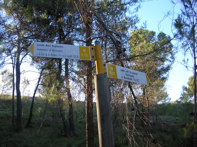
PR-CV 121 SENDA DELS ENGINYERS

Promoter: Ayuntamiento de Ontinyent

Certification status: No quality controls

1 review

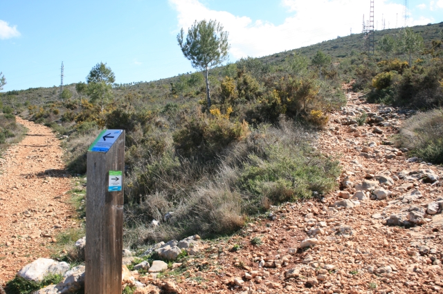
There is no proof of quality control on the record of this trail in the last years. For this reason, it is unknown whether it complies with the optimal signage and maintenance conditions for hikers to take the trail following these signs exclusively.
Hikers have to take into consideration that the information about the signage and maintenance of the trails for which the promoter entity is responsible might not be up to date anymore, since it refers to its state on the date of its approval. Furthermore, mountain sports entail risks associated with the activity itself and the environment where they take place, for which any person is fully liable. For this reason, hikes need to be planned properly and adequate training, equipment and sensible use of the trails are required.

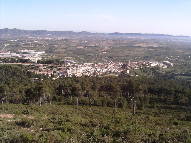
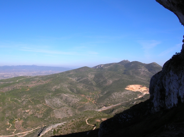
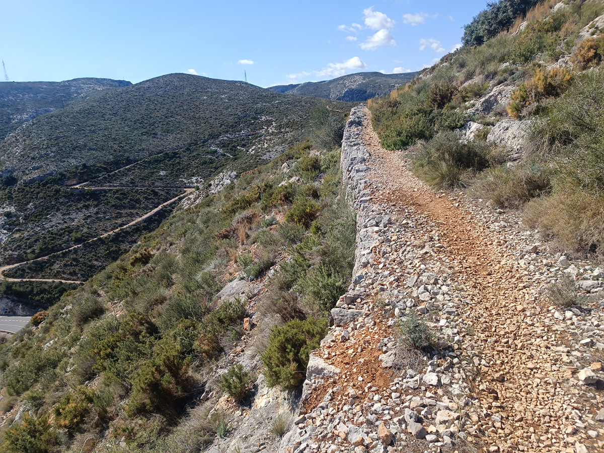
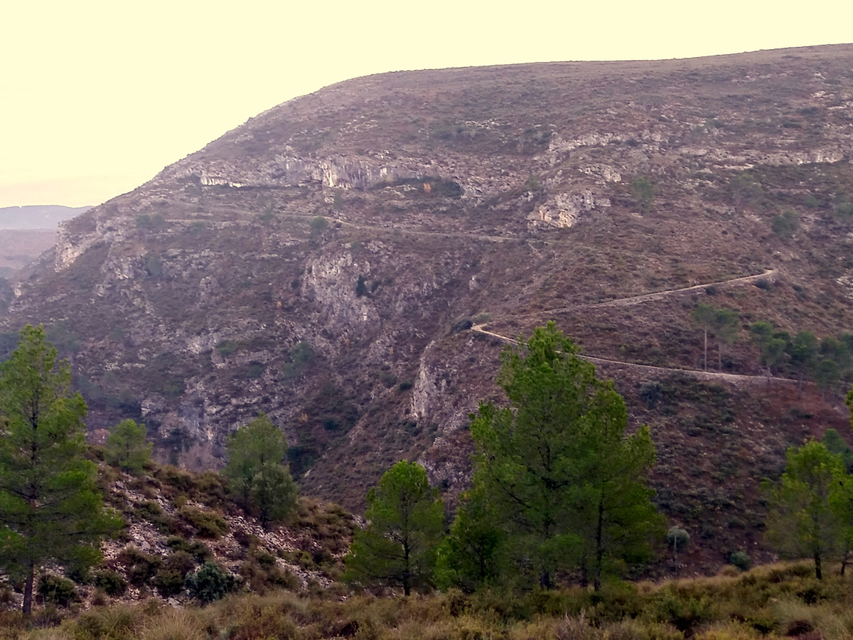
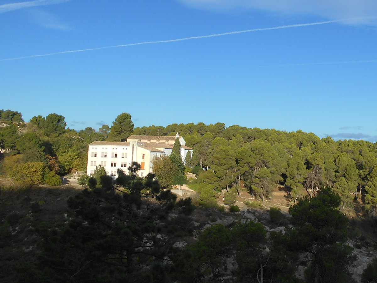
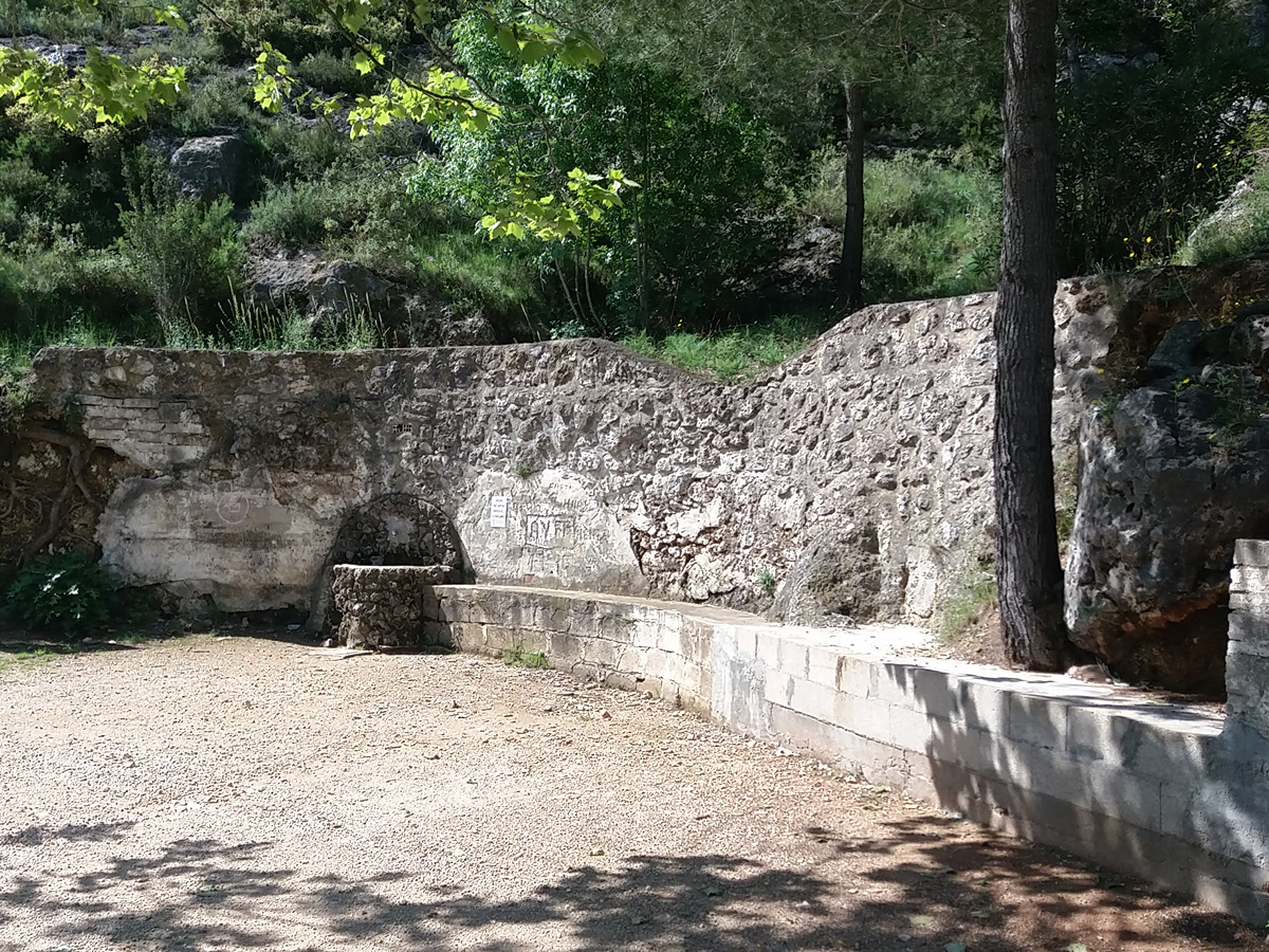
The path of the Enginyers, easily recognisable by its dry stone wall boundary, was built at the beginning of the 20th century to support the reforestation project of the mountain range. It runs along the slopes of the Agullent mountain range to Covalta, in the Albaida pass, offering views over the region and the western slopes of the Benicadell mountain range, a natural and historic pass between the regions of Vall d'Albaida and l'Alcoià-Comptat.

Trail:
One way (point-to-point)
Technical data:
Length:
16,30 km
Estimated walking time:
05:30:00
Elevation gain:
835 m
Elevation loss:
435 m
MIDE ratings:
Level of natural risks:
1
Navigation on the trail:
2
Hiking difficulty:
2
Fitness level needed:
3

More information on Montaña Segura

Difficulty rating according to FEDME:
Unknown
End Point:
Useful information:
Date of certification:
15-03-1998
Date of the act of registration in the Public Register:
20-02-2012
Reference municipality:
Otros municipios por los que transcurre:
District:
Province:
Valencia/València
Cartography IGN MTN25:
0820-2; 0821-1

Downloadable from the Catalogue of the IGN Map Library

See other trails of this promoter:
Protected Natural Spaces:

We advise you to look up the regulations and/or authorisations for using the trails in these conservation areas on the website of the Conselleria de Medio Ambiente, Agua, Infraestructuras y Territorio

  • Serra de l'Ombria - Pou Clar (Municipal Natural Site)
  • Umbría de la Covalta (Flora Micro-reserve)
Weather information:
Key points of the route:

Ontinyent Cemetery - Font de la Maciana (spring) - PR-CV 135 connection - PR-CV 134 connection - PR-CV 134.1 and Font del Patge (spring) - Covalta

Route description (only available in Spanish)

Empezamos el recorrido de la senda de los Ingenieros al lado del inicio del camí del Torrater, justo a las espaldas del cementerio de Ontinyent. La senda salva el marcado desnivel de la orografía gracias a muretes de piedra seca, los cuales se conservan en muy buen estado desde que fueron construidos, hace más de cien años, con el objetivo de facilitar los trabajos de reforestación que se llevaron a cabo a principios del siglo XX en estas montañas de la Vall d'Albaida. El sendero avanza sinuoso, siempre a media altura de la vertiente norte de la montaña, y salva los barrancos de les Neus, de Bunyol y del Galindero, con muy buenas vistas sobre la ciudad de Ontinyent y su entorno. Al llegar al barranco imponente de la penya Alta, el itinerario baja hasta el regazo de la montaña, por donde podemos acceder a la fuente de la Maciana. Seguimos ascendiendo de forma progresiva y penetramos en término de Benisoda, hasta que conectamos con una pista forestal, y pocos metros más adelante, con la Font del Paje, un rincón húmedo con mirador. Continuamos por la pista en dirección a levante, siempre por la umbría de la sierra de Agullent. Dejamos a la izquierda el camino que nos llevaría a la casa forestal del Clau. Llegamos a un cruce importante de pistas forestales a los pies de la Covalta, donde las vistas se abren hacia el puerto de Albaida. Continuamos 500 m por la pista en dirección a levante, hasta que encontramos el inicio de la senda de subida a la Covalta. Emprendemos la subida y al cabo de poco nos llega por la derecha otra senda que baja desde el collado de Santa Anna, la cual obviaremos y seguiremos en progresión hacia la Covalta. Salvamos el fuerte desnivel a través de un recorrido progresivo en zigzag. A 150 m de nuestro objetivo, conectamos con un sendero en dirección a poniente, a través del cual podemos desviarnos para acceder a la cumbre de la Covalta, donde se asentó un poblado íbero en el siglo V a.C. Continuamos haciendo marcha hacia nuestro objetivo y llegamos a la zona de acantilados donde se inserta la cueva que da nombre al paraje de la Covalta, una enorme balma con un aljibe en el interior, abierta sobre paredes verticales. Acabamos aquí el senderO, disfrutando de las vistas sobre el puerto de Albaida y las caídas occidentales de la sierra del Benicadell, paso natural e histórico entre las comarcas de la Vall d'Albaida y l'Alcoià-Comtat.

Downloads:

Beware! Navigation devices may fail, batteries may run out of power and devices may break down. Do not use only electronic means to track your activities in the mountains; they must be used as a complement to the map and compass. Get some proper training and enjoy the mountains.

Other trails connecting with this trail