
PR-CV 134 FONT JORDANA (AGULLENT) - FONT DE BAIX (AGRES)
Promoter: Ayuntamiento de Agullent
Certification status: Positive quality control
1 review
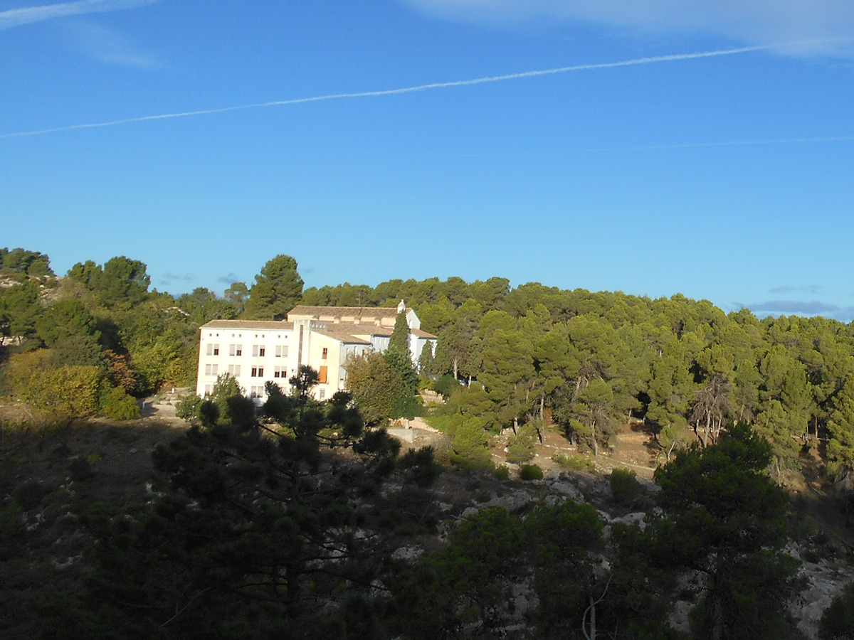
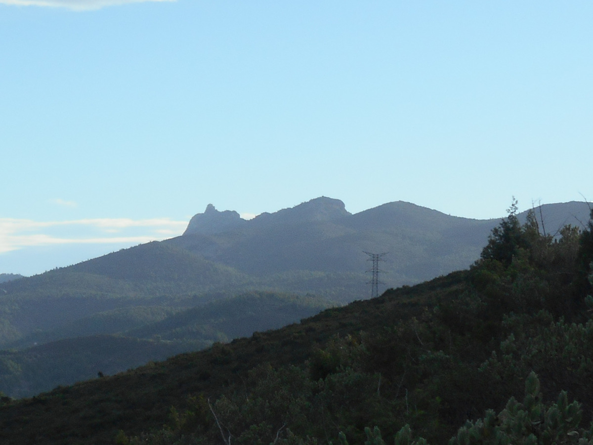
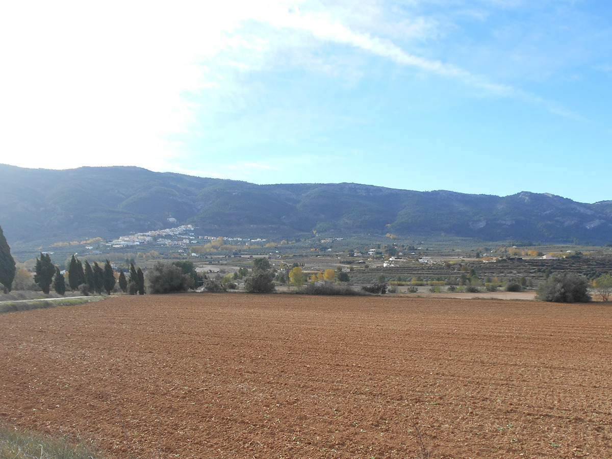
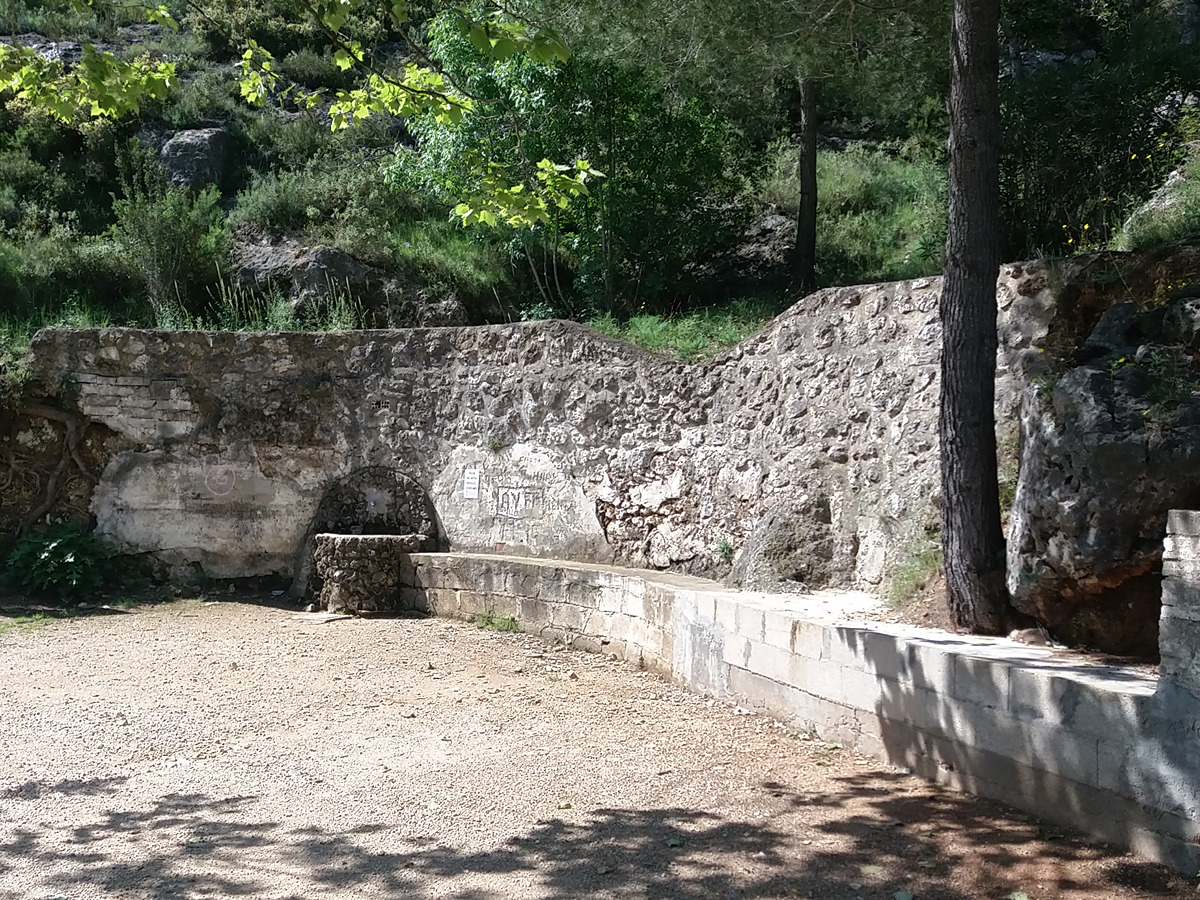
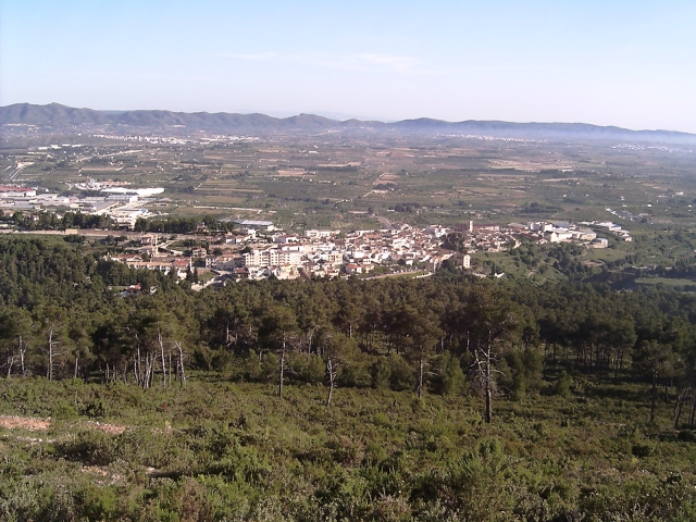
A beautiful route to enjoy the views of the different mountains that surround you along This route and take in the Mediterranean forest—with pines, holm oaks, rockroses, junipers, etc.—and in the leafiest and wettest places, the poplars, reeds and typical riverside vegetation. A path to delight the senses.
Trail:
One way (point-to-point)
Alternative routes and routes leading to nearby points of interest
PR-CV 134.1 FONT DEL PATGE
Promoter: Ayuntamiento de Agullent
Certification status: Positive quality control
Reference municipality: Benissoda
Length: 1,90 km
Estimated walking time: 00:35:00
Elevation gain: 0 m
Elevation loss: 130 m
(2)
Other trails connecting with this trail
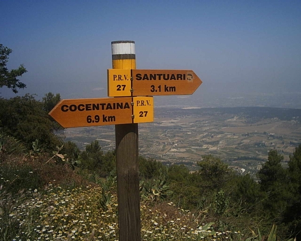
PR-CV 27 SENDA D'AGRES A COCENTAINA
Promoter: Centre Excursionista Les Caves
Certification status: Conditioned quality control
Reference municipality: Agres
Length: 8,90 km
Estimated walking time: 03:35:00
Elevation gain: 495 m
Elevation loss: 725 m
(1)
PR-CV 103 VIA VERDA - COVA ALTA
Promoter: Ayuntamiento de Agres
Certification status: Negative quality control
Reference municipality: Agres
Length: 8,52 km
Estimated walking time: 02:35:00
(0)
PR-CV 104 AGRES - CAVA DON MIGUEL
Promoter: Ayuntamiento de Agres
Certification status: Positive quality control
Reference municipality: Agres
Length: 3,90 km
Estimated walking time: 01:25:00
Elevation gain: 360 m
Elevation loss: 15 m
(1)
PR-CV 121 SENDA DELS ENGINYERS
Promoter: Ayuntamiento de Ontinyent
Certification status: No quality controls
Reference municipality: Ontinyent
Length: 16,30 km
Estimated walking time: 05:30:00
Elevation gain: 835 m
Elevation loss: 435 m
(1)
PR-CV 135 FONT JORDANA (AGULLENT) - FONT DE TARRAGÓ (ALFAFARA)
Promoter: Ayuntamiento de Agullent
Certification status: Positive quality control
Reference municipality: Agullent
Length: 10,70 km
Estimated walking time: 03:25:00
Elevation gain: 460 m
Elevation loss: 230 m
(0)
SL-CV 168 AGRES - CAVES DE MARIOLA - AGRES
Promoter: Diputación de Alicante
Certification status: Valid
Reference municipality: Agres
Length: 9,60 km
Estimated walking time: 03:30:00
Elevation gain: 650 m
Elevation loss: 650 m
(0)