
PR-CV 135 FONT JORDANA (AGULLENT) - FONT DE TARRAGÓ (ALFAFARA)
Promoter: Ayuntamiento de Agullent
Certification status: Positive quality control
0 reviews
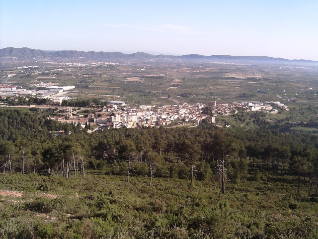
This route is characterised by the views of the mountains in the distance, from the Benicadell, the Murta mountain range, the Grossa mountain range and the Mariola mountain range in all their splendour.
Trail:
One way (point-to-point)
Alternative routes and routes leading to nearby points of interest
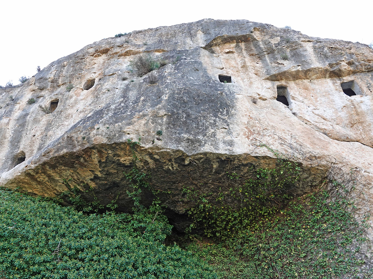
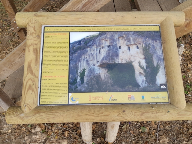
PR-CV 135.1 COVA DE LES FINESTRES
Promoter: Ayuntamiento de Agullent
Certification status: Positive quality control
Reference municipality: Alfafara
Length: 2,40 km
Estimated walking time: 00:40:00
Elevation gain: 10 m
Elevation loss: 85 m
(0)
Other trails connecting with this trail
PR-CV 121 SENDA DELS ENGINYERS
Promoter: Ayuntamiento de Ontinyent
Certification status: No quality controls
Reference municipality: Ontinyent
Length: 16,30 km
Estimated walking time: 05:30:00
Elevation gain: 835 m
Elevation loss: 435 m
(1)
PR-CV 134 FONT JORDANA (AGULLENT) - FONT DE BAIX (AGRES)
Promoter: Ayuntamiento de Agullent
Certification status: Positive quality control
Reference municipality: Agullent
Length: 7,90 km
Estimated walking time: 02:40:00
Elevation gain: 575 m
Elevation loss: 285 m
(1)

GR 330 SENDERO COSTA BLANCA INTERIOR
Promoter: Diputación de Alicante
Certification status: In process of approval
Reference municipality: Dénia
(0)
PR-CV 370 ALFAFARA - CAVA DON MIGUEL (PER LA SERRELLA)
Promoter: Ayuntamiento de Alfafara
Certification status: No quality controls
Reference municipality: Alfafara
Length: 13,30 km
Estimated walking time: 05:20:00
(0)
PR-CV 389 COVA DE LES FINESTRES
Promoter: Ayuntamiento de Alfafara
Certification status: Positive quality control
Reference municipality: Alfafara
Length: 8,00 km
Estimated walking time: 02:35:00
Elevation gain: 280 m
Elevation loss: 280 m
(1)