
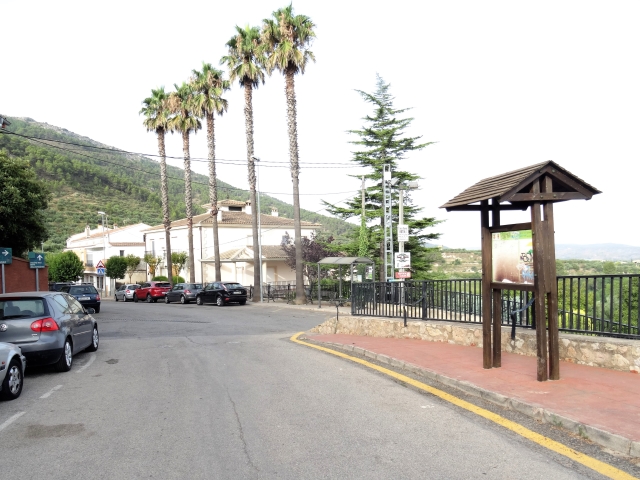
PR-CV 104 AGRES - CAVA DON MIGUEL
Promoter: Ayuntamiento de Agres
Certification status: Positive quality control
1 review
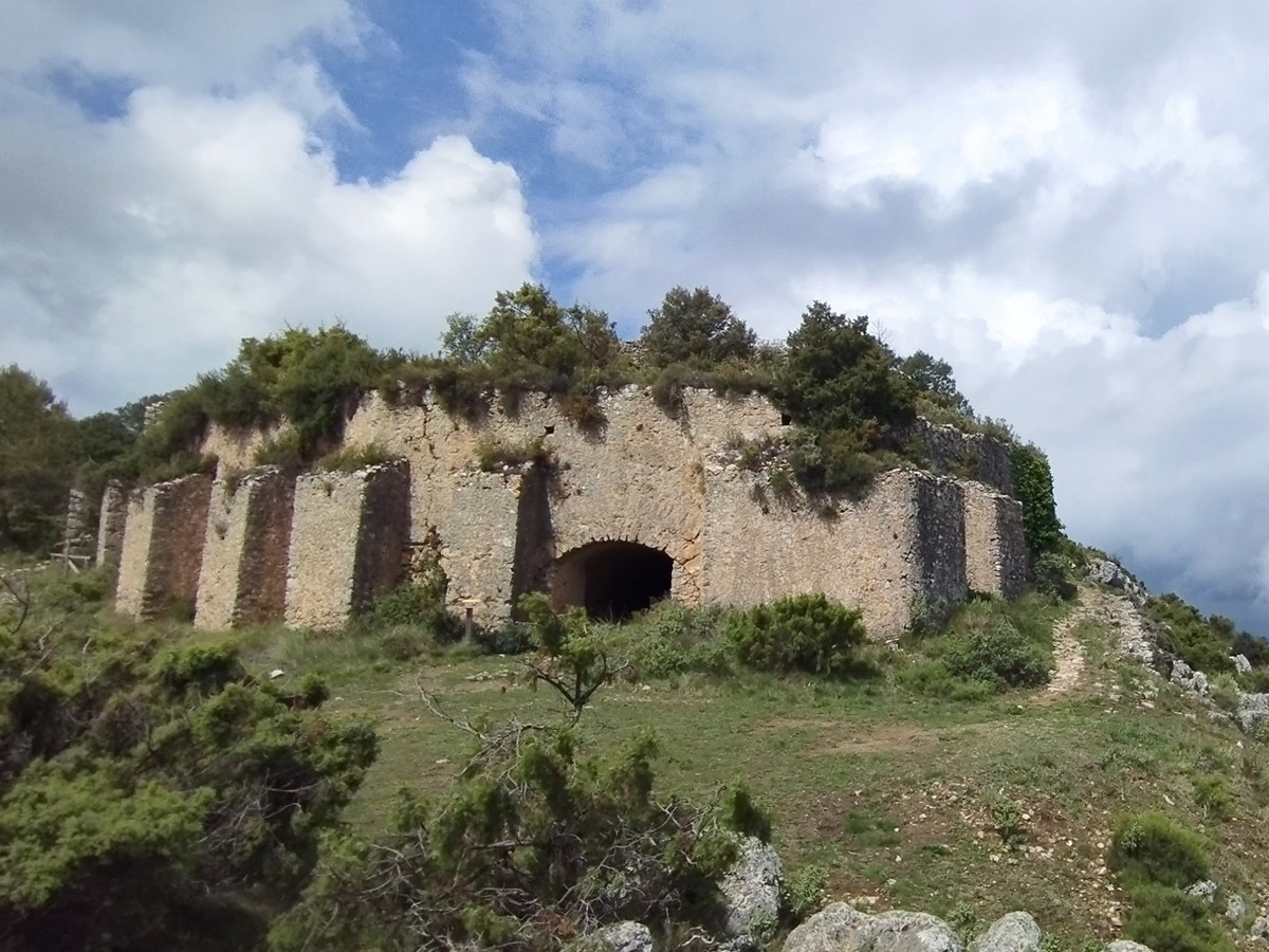
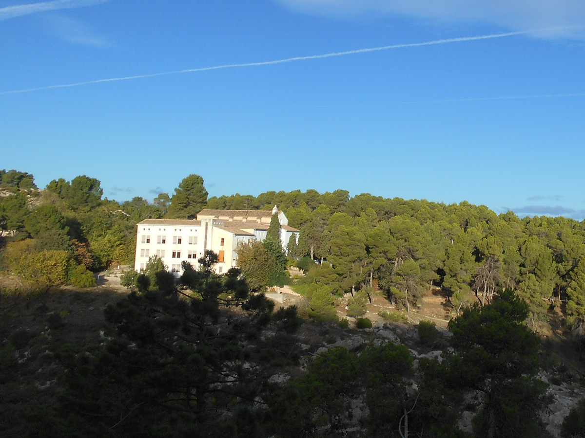
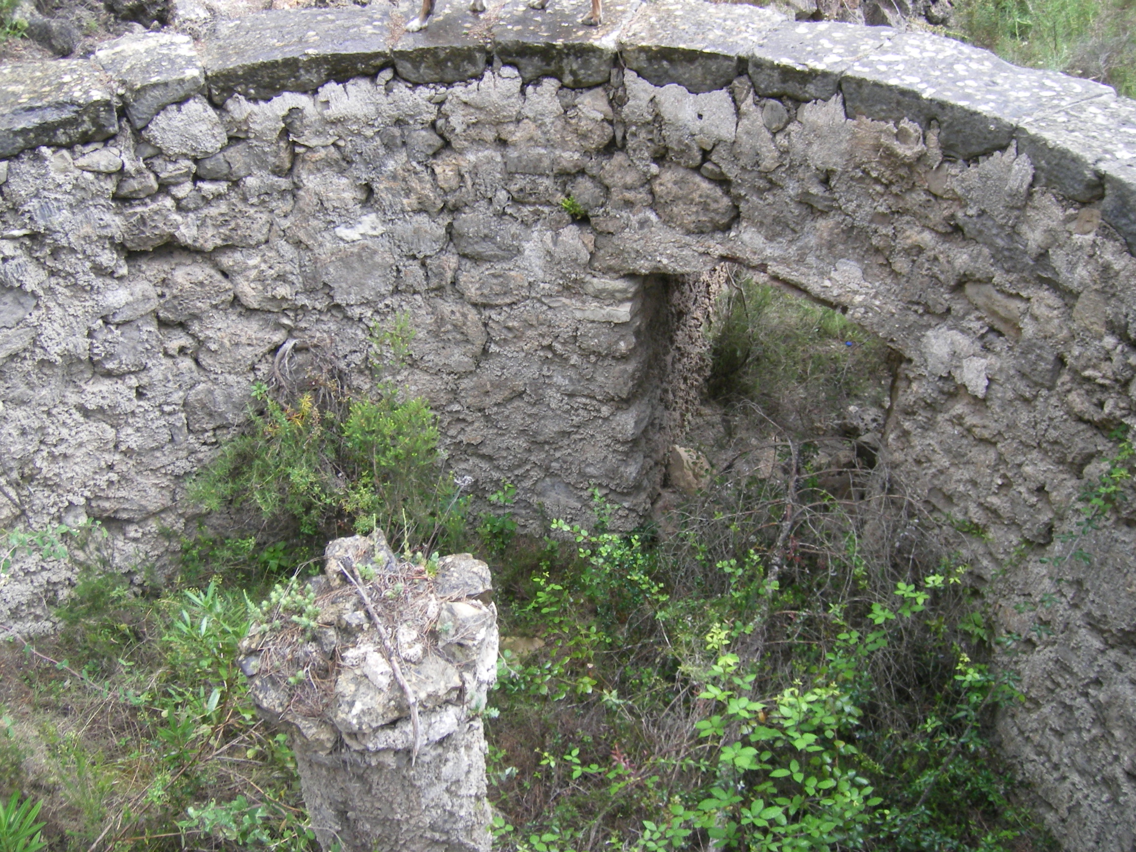
This route connects the municipality of Agres with Don Miguel’s ice house, a very unusual construction due to its large dimensions supported by buttresses and with a living area for "els nevaters".
Trail:
One way (point-to-point)
Other trails connecting with this trail
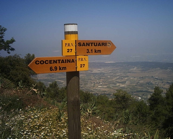
PR-CV 27 SENDA D'AGRES A COCENTAINA
Promoter: Centre Excursionista Les Caves
Certification status: Conditioned quality control
Reference municipality: Agres
Length: 8,90 km
Estimated walking time: 03:35:00
Elevation gain: 495 m
Elevation loss: 725 m
(1)
PR-CV 103 VIA VERDA - COVA ALTA
Promoter: Ayuntamiento de Agres
Certification status: Negative quality control
Reference municipality: Agres
Length: 8,52 km
Estimated walking time: 02:35:00
(0)
PR-CV 134 FONT JORDANA (AGULLENT) - FONT DE BAIX (AGRES)
Promoter: Ayuntamiento de Agullent
Certification status: Positive quality control
Reference municipality: Agullent
Length: 7,90 km
Estimated walking time: 02:40:00
Elevation gain: 575 m
Elevation loss: 285 m
(1)
SL-CV 168 AGRES - CAVES DE MARIOLA - AGRES
Promoter: Diputación de Alicante
Certification status: Valid
Reference municipality: Agres
Length: 9,60 km
Estimated walking time: 03:30:00
Elevation gain: 650 m
Elevation loss: 650 m
(0)

GR 330 SENDERO COSTA BLANCA INTERIOR
Promoter: Diputación de Alicante
Certification status: In process of approval
Reference municipality: Dénia
(0)
PR-CV 370 ALFAFARA - CAVA DON MIGUEL (PER LA SERRELLA)
Promoter: Ayuntamiento de Alfafara
Certification status: No quality controls
Reference municipality: Alfafara
Length: 13,30 km
Estimated walking time: 05:20:00
(0)