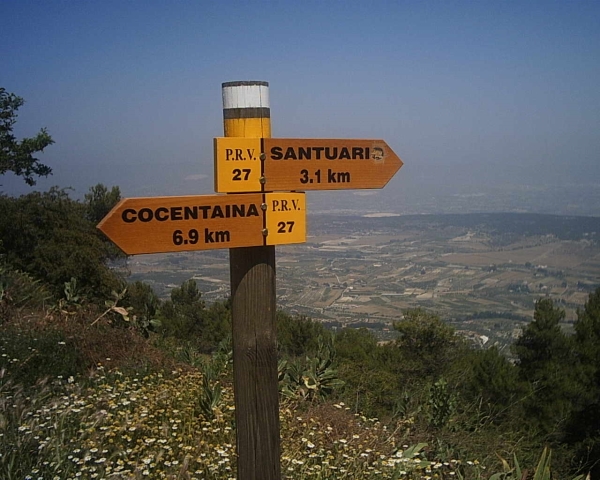
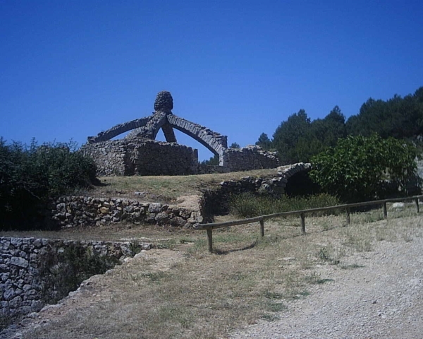
PR-CV 27 SENDA D'AGRES A COCENTAINA
Promoter: Centre Excursionista Les Caves
Certification status: Conditioned quality control
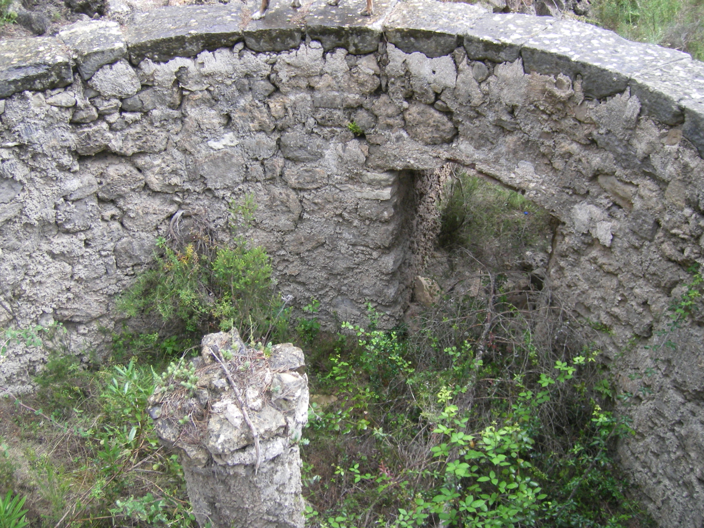
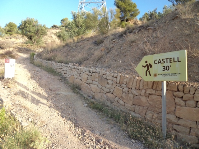
Following the inspection carried out by trail technicians, this trail has been declared of "limited adequacy" as a result of the faults detected in the signage. These include inadequate horizontal signs (paint markers) and/or vertical ones (trailheads and information boards) or lacking direction markers that do not provide sufficient information to properly follow the route. The builder of this trail has been informed of the situation.
For safety reasons and during maintenance work, it is advised to be extremely careful while taking this route. Furthermore, mountain sports entail risks associated with the activity itself and the environment where they take place, for which any person is fully liable. For this reason, hikes need to be planned properly and adequate training, equipment and sensible use of the trails are required.
Other trails connecting with this trail
GR 7 E47 PARAJE FONT DE MARIOLA - ALCOY
Promoter: Generalitat Valenciana
Certification status: Positive quality control
Etapa número: 47
PR-CV 37 SANT CRISTÒFOL - MONTCABRER - SANT CRISTÒFOL
Promoter: Centre Excursionista Contestà
Certification status: Positive quality control
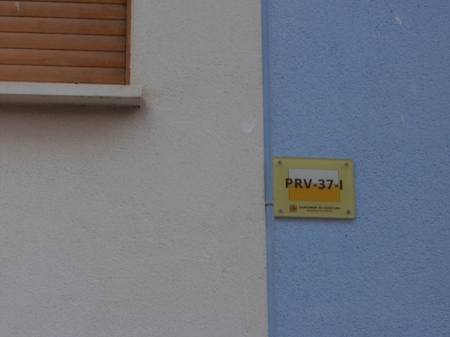
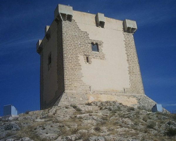
PR-CV 37.1 MAS DE LA PENYA - COCENTAINA - ERMITA DE SANTA BÀRBARA
Promoter: Centre Excursionista Contestà
Certification status: Positive quality control
PR-CV 104 AGRES - CAVA DON MIGUEL
Promoter: Ayuntamiento de Agres
Certification status: Positive quality control
PR-CV 134 FONT JORDANA (AGULLENT) - FONT DE BAIX (AGRES)
Promoter: Ayuntamiento de Agullent
Certification status: Positive quality control