
GR 7 E47 PARAJE FONT DE MARIOLA - ALCOY
Promoter: Generalitat Valenciana
Certification status: Positive quality control
0 reviews
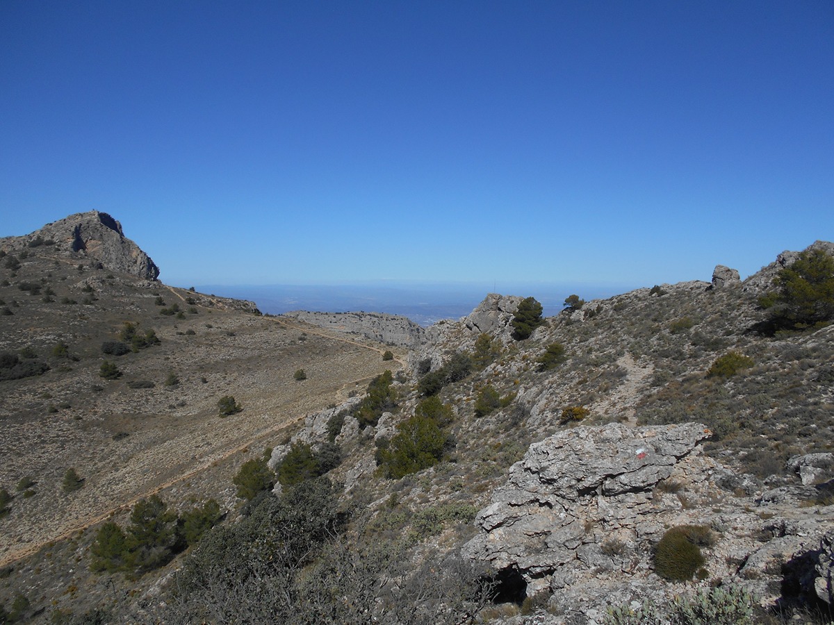
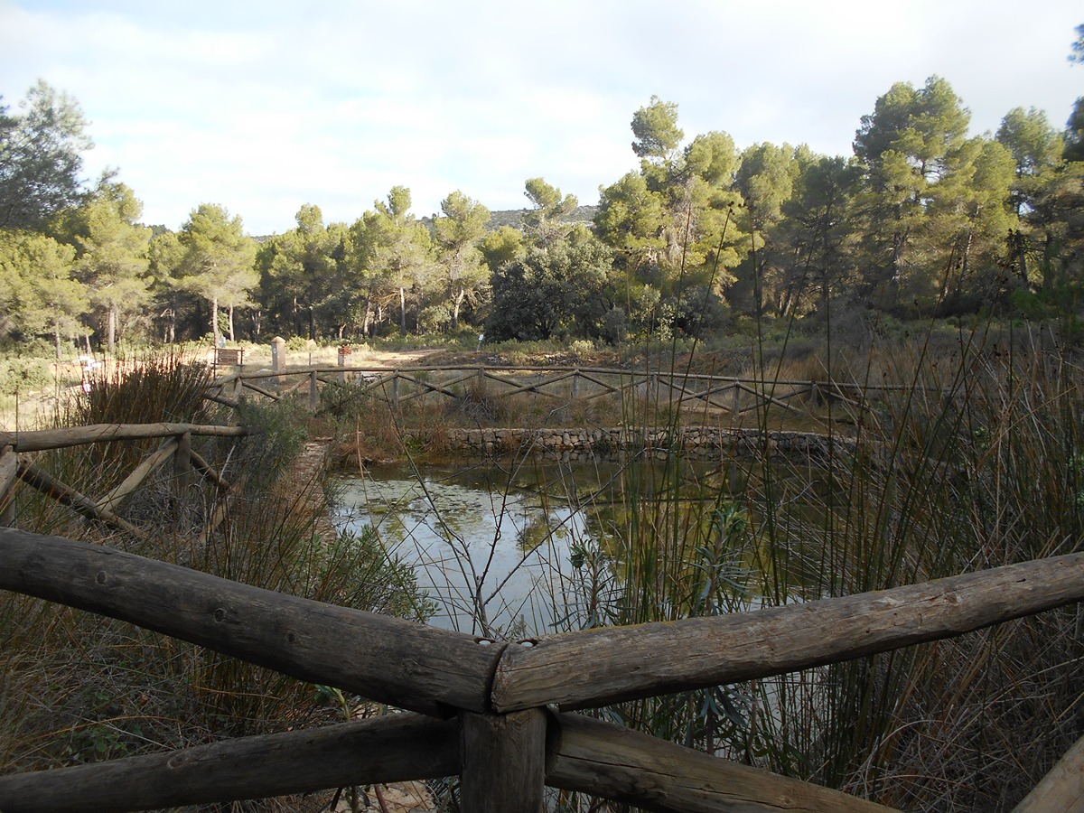
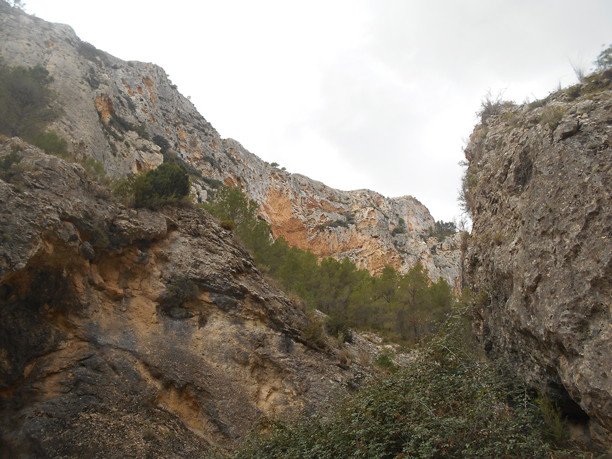
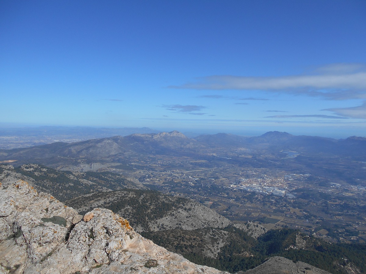
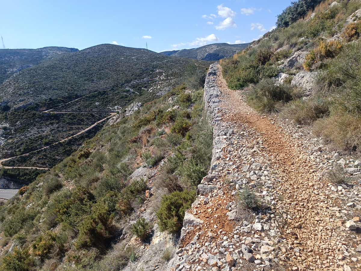
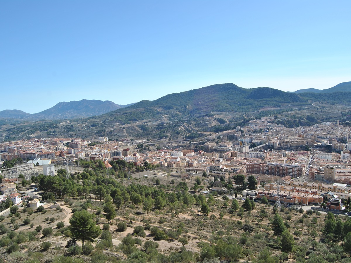
This stage runs through one of the mountain ranges with the most medicinal plants and endemic species to be found in the Comunitat Valenciana region. It also includes four rivers: Agres, Clariano, Serpis and Vinalopó. Additionally, you can also enjoy the Tejeda de Agres plant micro-reserve, the most southerly of the European continent, and take at look at the various ice houses along the way. This well-rounded route will not disappoint mountaineers, since it offers the possibility of climbing Montcabrer, which rises 1,390 metres above sea level. You can also go through, the steep and spectacular Cint ravine. SUMMARY VALENCIA
Trail:
One way (point-to-point)
Main

GR 7 COMUNITAT VALENCIANA. FREDES - EL PINÓS/PINOSO
Promoter: Generalitat Valenciana
Certification status: See stages
Reference municipality: Pobla de Benifassà (La)
Length: 586,60 km
Estimated walking time: 180:35:00
Elevation gain: 17.635 m
Elevation loss: 18.585 m
(0)
Previos stage
GR 7 E46 ONTINYENT - PARATGE FONT DE MARIOLA
Promoter: Generalitat Valenciana
Certification status: Positive quality control
Etapa número: 46
Reference municipality: Ontinyent
Length: 20,80 km
Estimated walking time: 06:35:00
Elevation gain: 890 m
Elevation loss: 375 m
(2)
Next stage
GR 7 E48 BARRANC DEL CINC - SANTUARIO DE LA FONT ROJA
Promoter: Generalitat Valenciana
Certification status: Positive quality control
Etapa número: 48
Reference municipality: Alcoy/Alcoi
Length: 10,70 km
Estimated walking time: 03:50:00
Elevation gain: 725 m
Elevation loss: 340 m
(0)
Other trails connecting with this trail
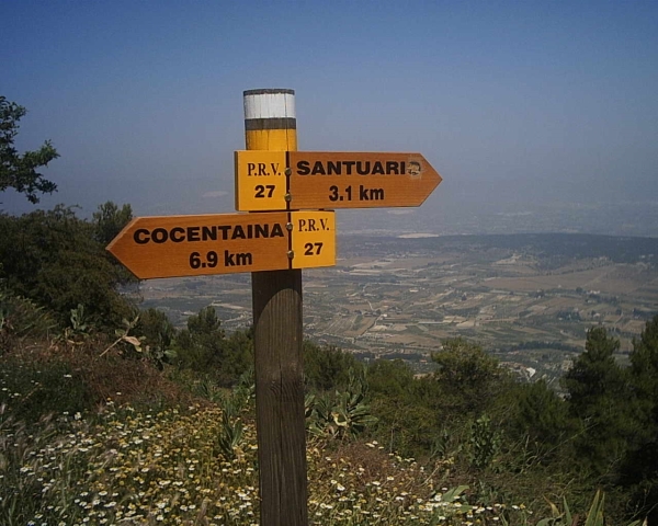
PR-CV 27 SENDA D'AGRES A COCENTAINA
Promoter: Centre Excursionista Les Caves
Certification status: Conditioned quality control
Reference municipality: Agres
Length: 8,90 km
Estimated walking time: 03:35:00
Elevation gain: 495 m
Elevation loss: 725 m
(1)
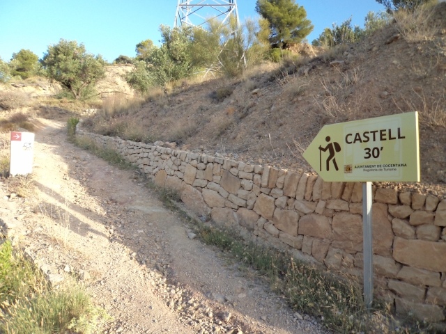
PR-CV 37 SANT CRISTÒFOL - MONTCABRER - SANT CRISTÒFOL
Promoter: Centre Excursionista Contestà
Certification status: Positive quality control
Reference municipality: Cocentaina
Length: 16,70 km
Estimated walking time: 06:10:00
Elevation gain: 1.050 m
Elevation loss: 1.050 m
(3)

PR-CV 57 BARRANC DEL CINT - MONTCABRER - BARRANC DEL CINT
Promoter: Centre Excursionista d'Alcoi
Certification status: Negative quality control
Reference municipality: Alcoy/Alcoi
Length: 23,30 km
Estimated walking time: 07:50:00
Elevation gain: 975 m
Elevation loss: 975 m
(0)