
GR 7 E46 ONTINYENT - PARATGE FONT DE MARIOLA
Promoter: Generalitat Valenciana
Certification status: Positive quality control
2 reviews
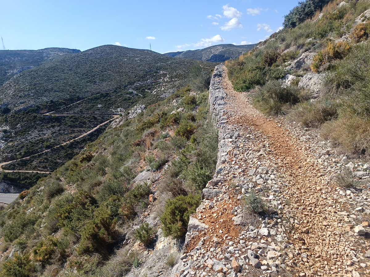
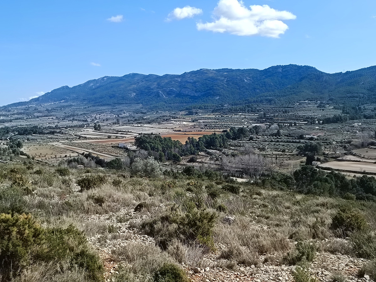
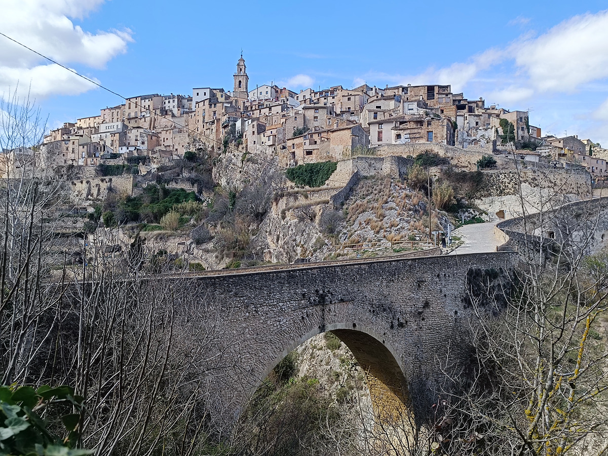
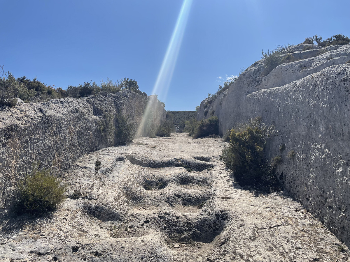
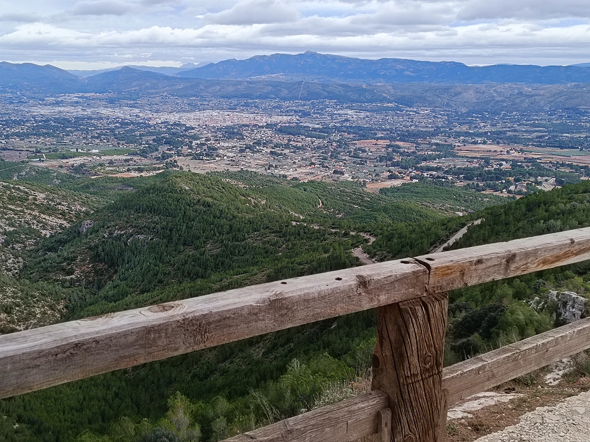
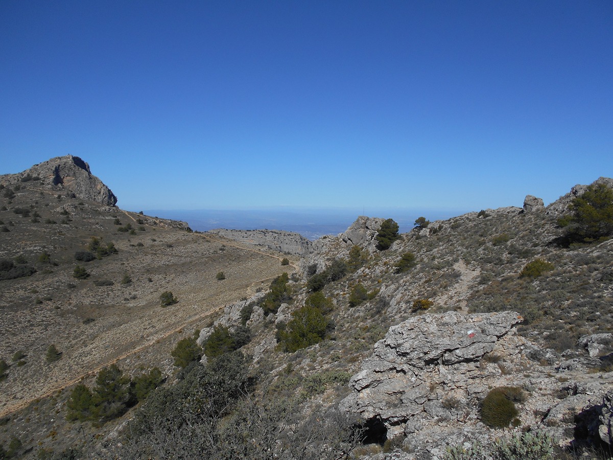
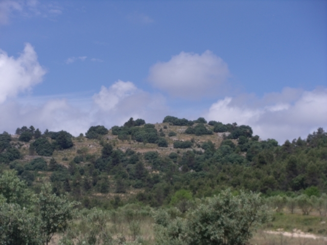
A stage between the town of Ontinyent and the Serra Mariola Natural Park, leading through the impressive old town of la Vila de Bocairent. This route combines the best aspects of culture and nature.
Trail:
One way (point-to-point)
Main

GR 7 COMUNITAT VALENCIANA. FREDES - EL PINÓS/PINOSO
Promoter: Generalitat Valenciana
Certification status: See stages
Reference municipality: Pobla de Benifassà (La)
Length: 586,60 km
Estimated walking time: 180:35:00
Elevation gain: 17.635 m
Elevation loss: 18.585 m
(0)
Previos stage
GR 7 E45 VALLADA - ONTINYENT
Promoter: Generalitat Valenciana
Certification status: Positive quality control
Etapa número: 45
Reference municipality: Vallada
Length: 18,00 km
Estimated walking time: 05:55:00
Elevation gain: 705 m
Elevation loss: 615 m
(0)
Next stage
GR 7 E47 PARAJE FONT DE MARIOLA - ALCOY
Promoter: Generalitat Valenciana
Certification status: Positive quality control
Etapa número: 47
Reference municipality: Bocairent
Length: 15,00 km
Estimated walking time: 04:15:00
Elevation gain: 500 m
Elevation loss: 715 m
(0)
Other trails connecting with this trail
PR-CV 121 SENDA DELS ENGINYERS
Promoter: Ayuntamiento de Ontinyent
Certification status: No quality controls
Reference municipality: Ontinyent
Length: 16,30 km
Estimated walking time: 05:30:00
Elevation gain: 835 m
Elevation loss: 435 m
(1)
PR-CV 122 SENDA DEL BARRANC DELS TARONGERS
Promoter: Ayuntamiento de Ontinyent
Certification status: Valid
Reference municipality: Ontinyent
Length: 10,60 km
Estimated walking time: 03:40:00
Elevation gain: 475 m
Elevation loss: 475 m
(0)

GR 160 E12 XÀTIVA - ONTINYENT
Promoter: Patronat Provincial de Turisme de València
Certification status: In process of approval
Etapa número: 12
Reference municipality: Xàtiva
(0)
GR 160 E13 ONTINYENT - LÍMITE PROVINCIAL ALICANTE
Promoter: Patronat Provincial de Turisme de València
Certification status: In process of approval
Etapa número: 13
Reference municipality: Ontinyent
(0)
PR-CV 370 ALFAFARA - CAVA DON MIGUEL (PER LA SERRELLA)
Promoter: Ayuntamiento de Alfafara
Certification status: No quality controls
Reference municipality: Alfafara
Length: 13,30 km
Estimated walking time: 05:20:00
(0)