
GR 7 E45 VALLADA - ONTINYENT
Promoter: Generalitat Valenciana
Certification status: Positive quality control
0 reviews
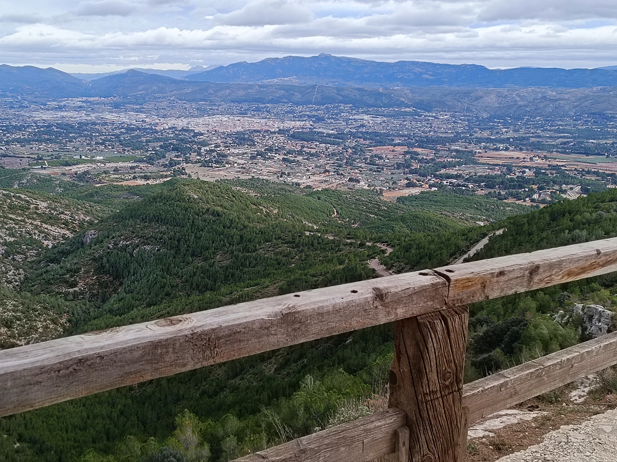
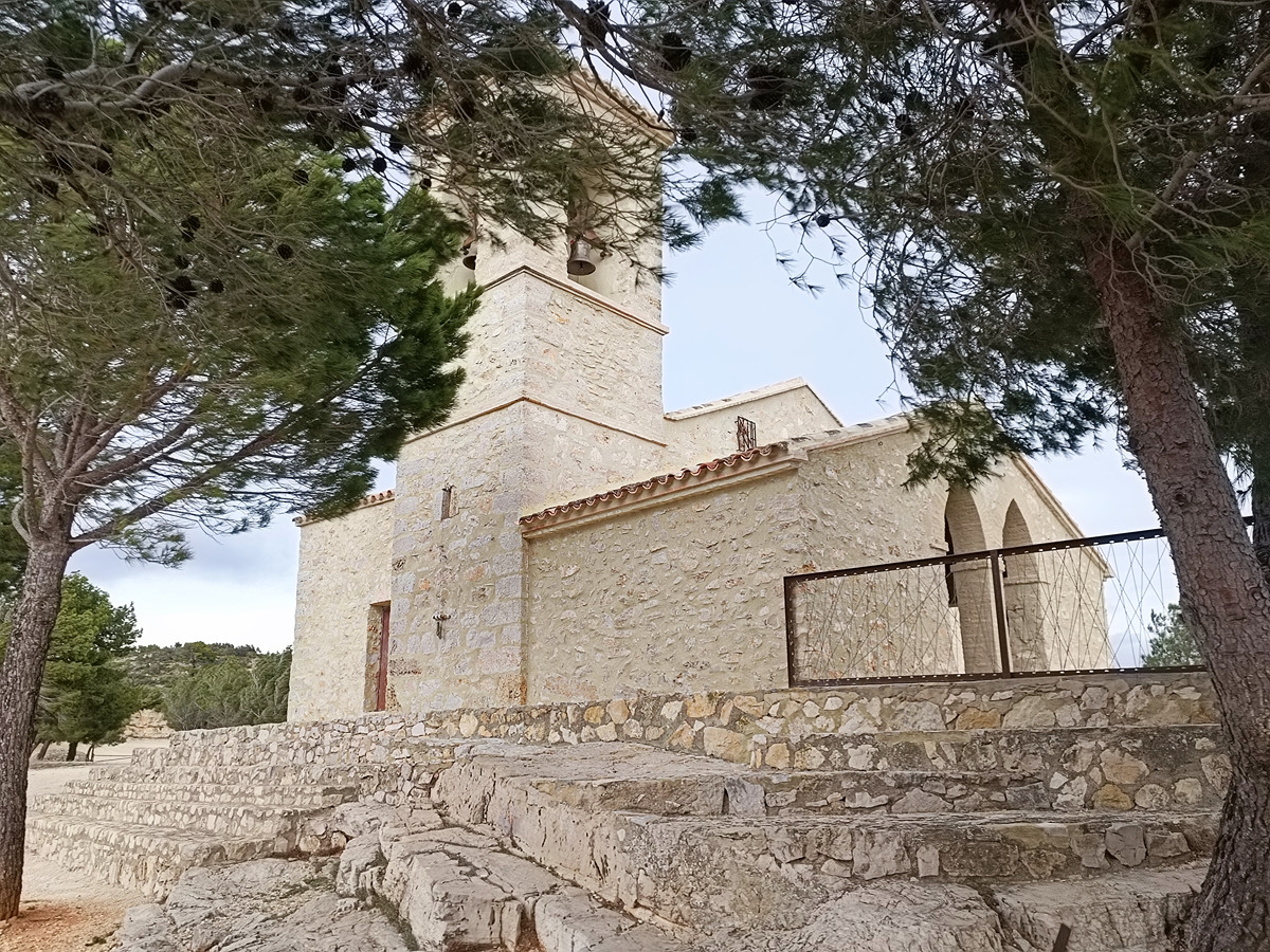
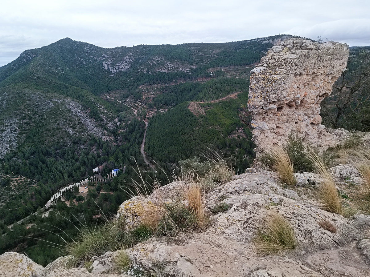
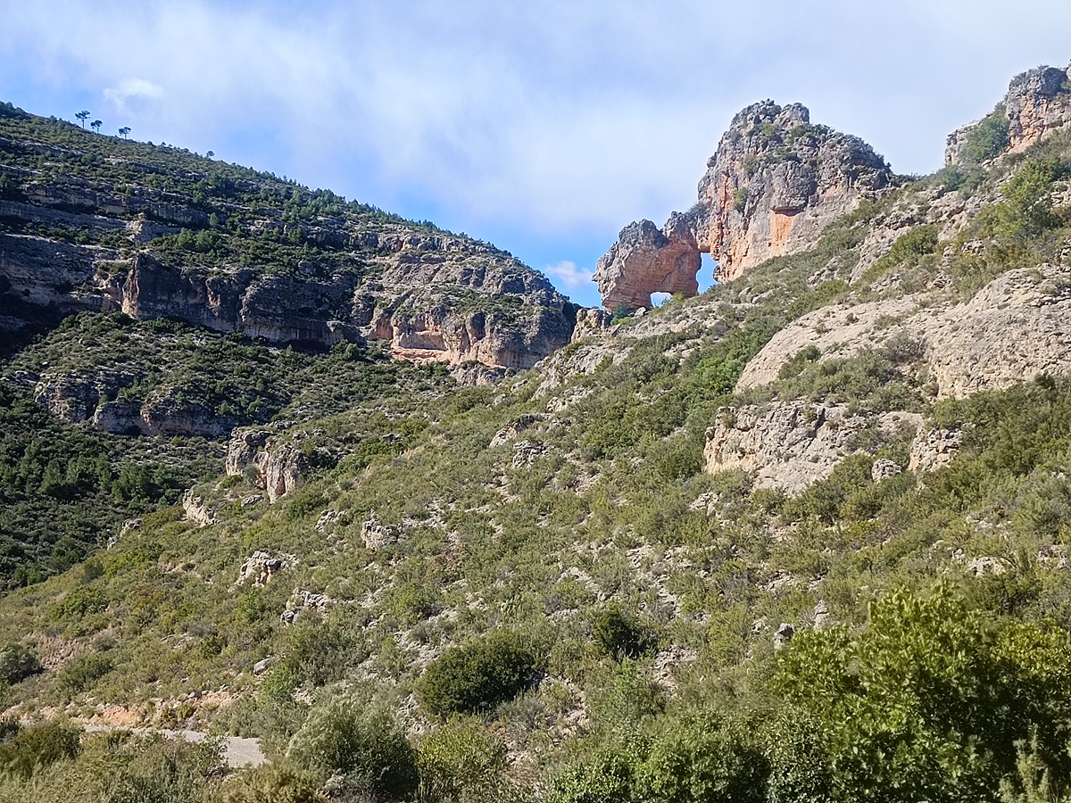
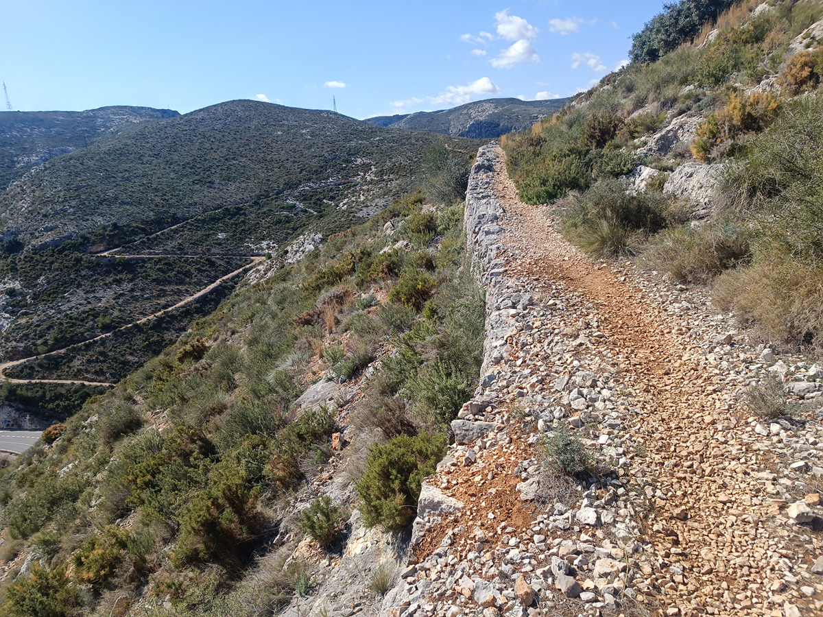
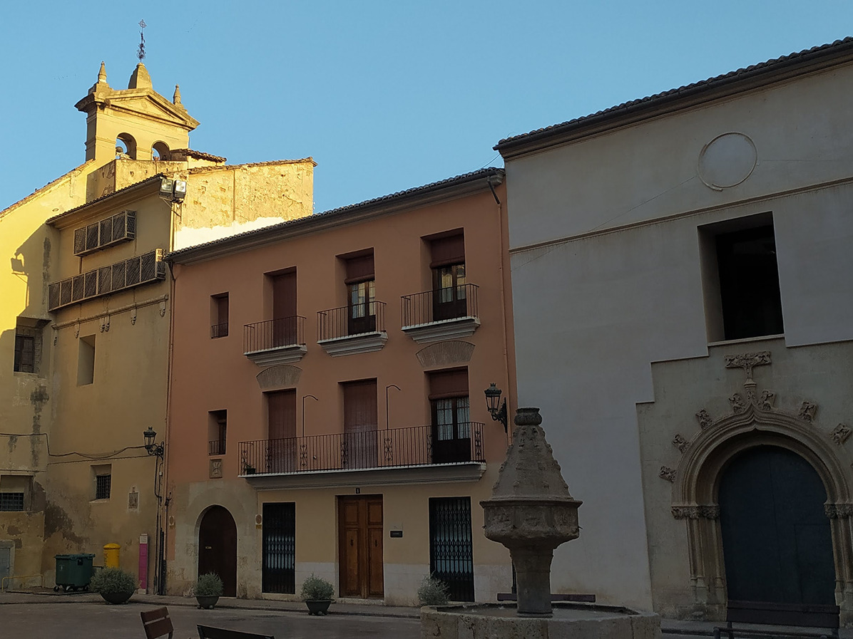
This stage starts in the town of Vallada. It leads up to the castle, then ascends to Serra Grossa and it approaches the chapel of Sant Esteve, a fantastic viewpoint overlooking the town of Ontinyent and the whole of the Vall d'Albaida region within Comunitat Valenciana. After crossing the modern arched bridge over the Clariano river, you arrive at the sports centre of Ontinyent, where the stage ends.
Trail:
One way (point-to-point)
Main

GR 7 COMUNITAT VALENCIANA. FREDES - EL PINÓS/PINOSO
Promoter: Generalitat Valenciana
Certification status: See stages
Reference municipality: Pobla de Benifassà (La)
Length: 586,60 km
Estimated walking time: 180:35:00
Elevation gain: 17.635 m
Elevation loss: 18.585 m
(0)
Previos stage
GR 7 E44 CASAS DE BENALI - VALLADA
Promoter: Generalitat Valenciana
Certification status: Positive quality control
Etapa número: 44
Reference municipality: Enguera
Length: 28,20 km
Estimated walking time: 08:20:00
Elevation gain: 465 m
Elevation loss: 900 m
(0)
Next stage
GR 7 E46 ONTINYENT - PARATGE FONT DE MARIOLA
Promoter: Generalitat Valenciana
Certification status: Positive quality control
Etapa número: 46
Reference municipality: Ontinyent
Length: 20,80 km
Estimated walking time: 06:35:00
Elevation gain: 890 m
Elevation loss: 375 m
(2)
Other trails connecting with this trail

GR 160 E13 ONTINYENT - LÍMITE PROVINCIAL ALICANTE
Promoter: Patronat Provincial de Turisme de València
Certification status: In process of approval
Etapa número: 13
Reference municipality: Ontinyent
(0)
GR 239 E03 XÀTIVA - MOIXENT
Promoter: Asociación de Amigos del Camino de Santiago
Certification status: Positive quality control
Etapa número: 3
Reference municipality: Xàtiva
Length: 28,50 km
Estimated walking time: 06:30:00
Elevation gain: 490 m
Elevation loss: 255 m
(0)
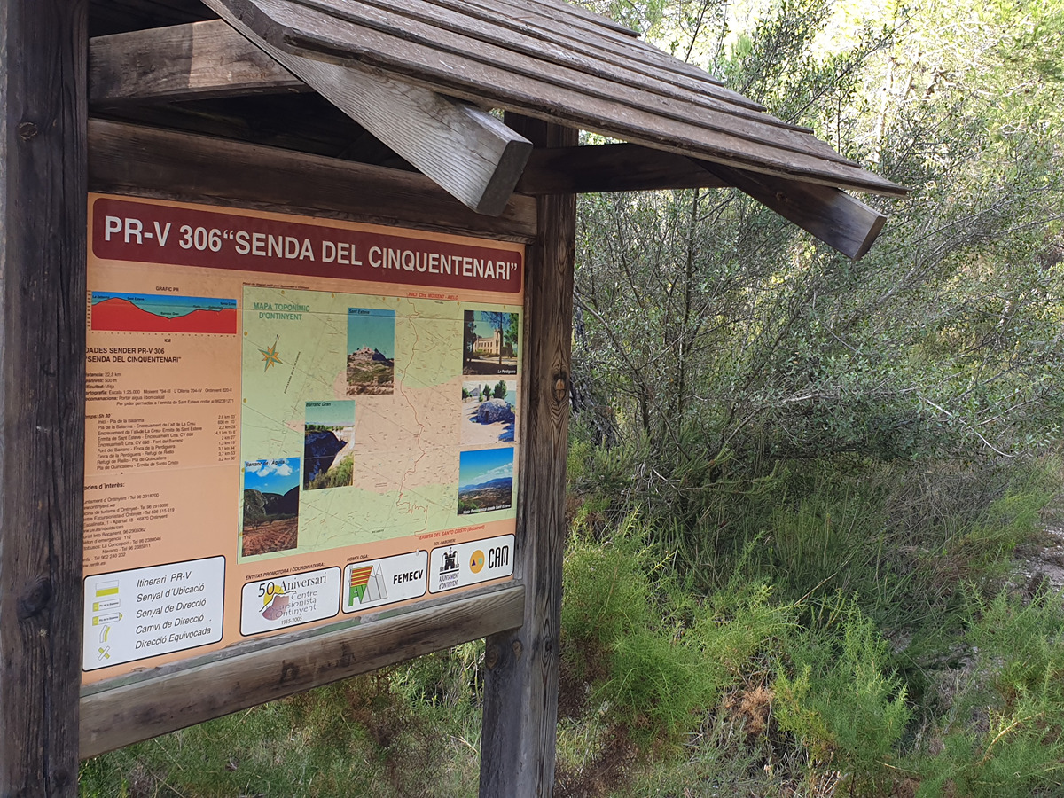
PR-CV 306 SENDA DEL CINQUENTENARI
Promoter: Centre Excursionista de Ontinyent
Certification status: No quality controls
Reference municipality: Ontinyent
Length: 22,30 km
Estimated walking time: 07:30:00
Elevation gain: 945 m
Elevation loss: 860 m
(0)