
GR 7 E48 BARRANC DEL CINC - SANTUARIO DE LA FONT ROJA
Promoter: Generalitat Valenciana
Certification status: Positive quality control
0 reviews
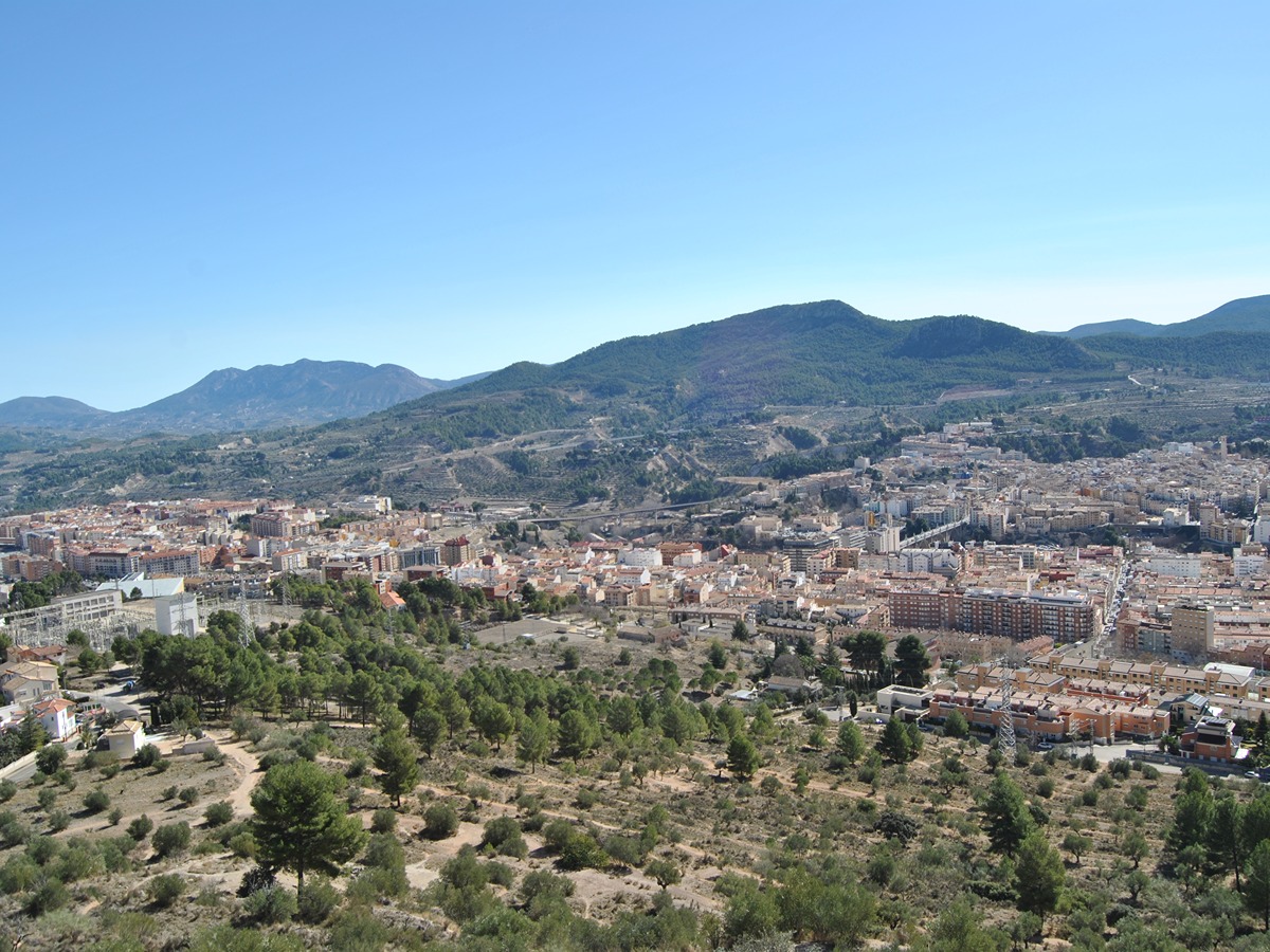
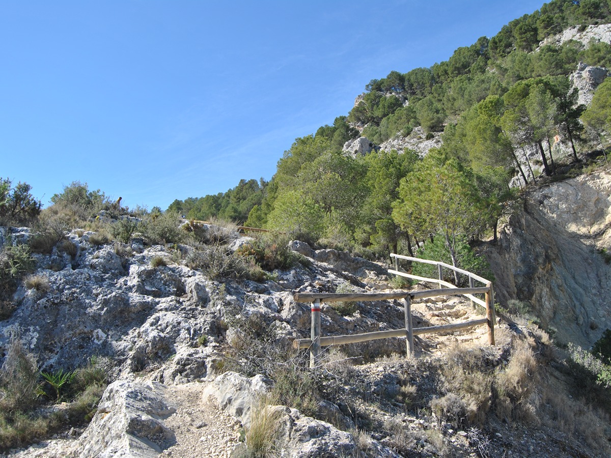
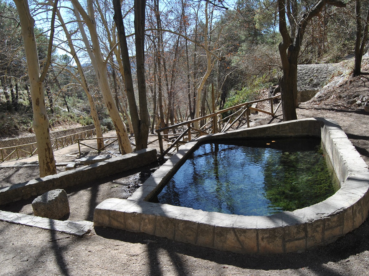
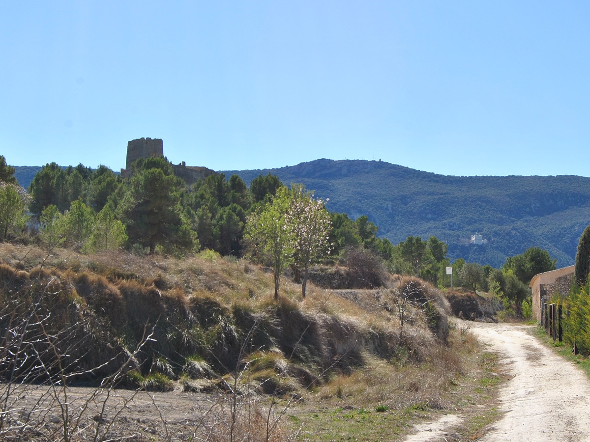
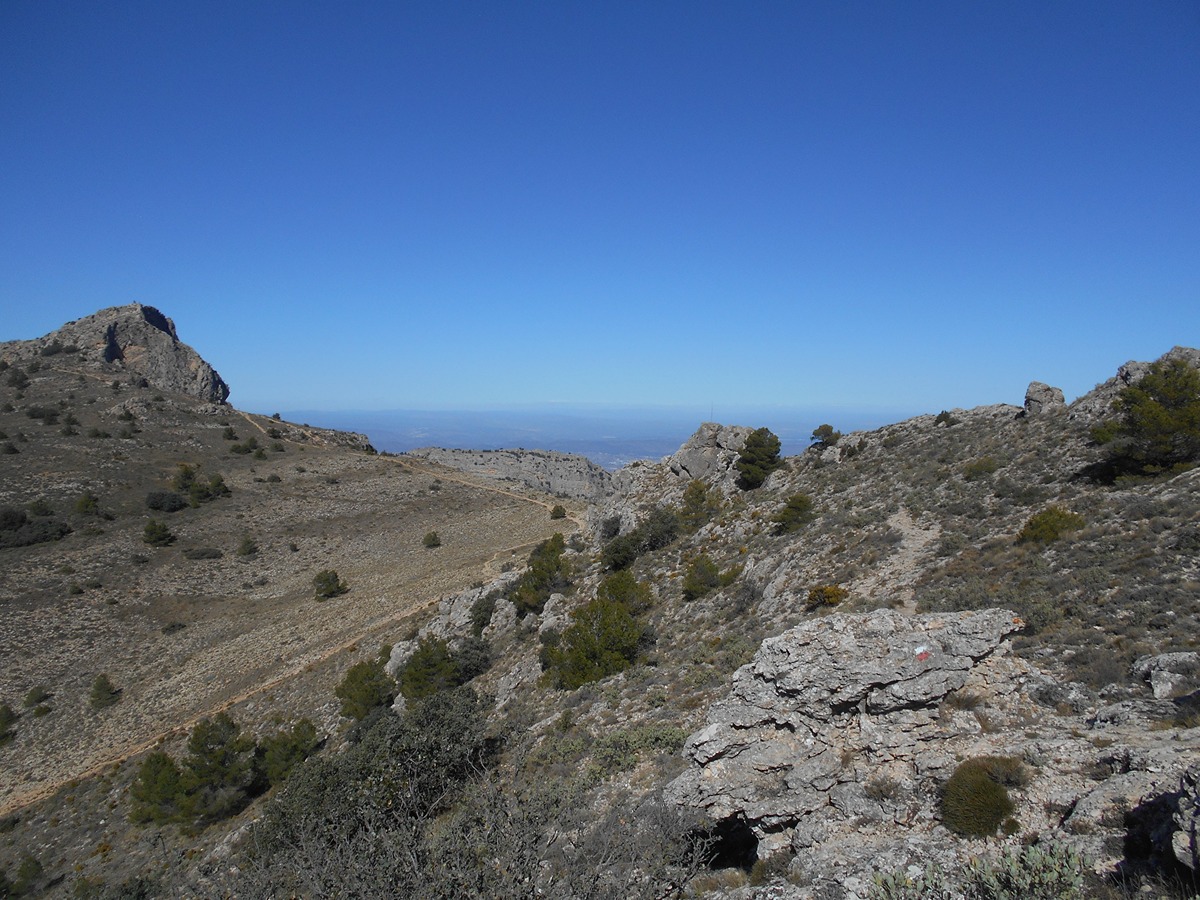
A beautiful route that runs from the Serra de Mariola Natural Park and enters the Carrascal de la Font Roja Natural Park, passing through the Llençols to the Paià mill. It runs parallel to the Barxell river until it reaches the tower of Barxell and enters the Polop river. From here, it runs along the old cattle track of the Cañada de Alcoi to the Font Roja Sanctuary.
Trail:
One way (point-to-point)
Main

GR 7 COMUNITAT VALENCIANA. FREDES - EL PINÓS/PINOSO
Promoter: Generalitat Valenciana
Certification status: See stages
Reference municipality: Pobla de Benifassà (La)
Length: 586,60 km
Estimated walking time: 180:35:00
Elevation gain: 17.635 m
Elevation loss: 18.585 m
(0)
Previos stage
GR 7 E47 PARAJE FONT DE MARIOLA - ALCOY
Promoter: Generalitat Valenciana
Certification status: Positive quality control
Etapa número: 47
Reference municipality: Bocairent
Length: 15,00 km
Estimated walking time: 04:15:00
Elevation gain: 500 m
Elevation loss: 715 m
(0)
Next stage
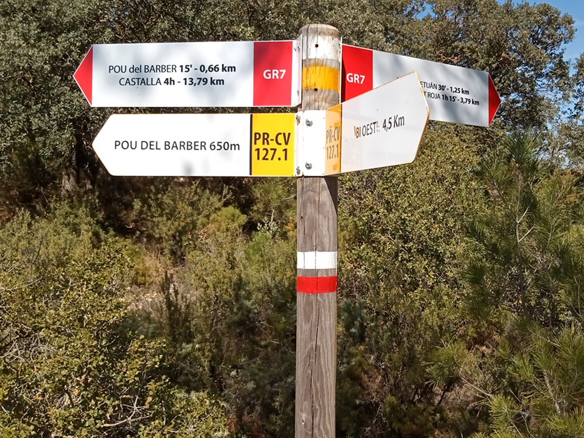
GR 7 E49 SANTUARIO DE LA FONT ROJA - CASTALLA
Promoter: Generalitat Valenciana
Certification status: Positive quality control
Etapa número: 49
Reference municipality: Alcoy/Alcoi
Length: 17,50 km
Estimated walking time: 04:20:00
Elevation gain: 245 m
Elevation loss: 655 m
(0)
Other trails connecting with this trail

SL-CV 25.4 CAMÍ DELS LLENÇONS - SAN CRISTÒFOL
Promoter: Ayuntamiento de Alcoy
Certification status: Negative quality control
Reference municipality: Alcoy/Alcoi
Length: 2,30 km
Estimated walking time: 01:00:00
Elevation gain: 355 m
Elevation loss: 20 m
(0)
SL-CV 25.5 CAMÍ DEL SALT I MOLÍ PAIA
Promoter: Ayuntamiento de Alcoy
Certification status: Negative quality control
Reference municipality: Alcoy/Alcoi
Length: 2,80 km
Estimated walking time: 01:00:00
Elevation gain: 180 m
Elevation loss: 60 m
(0)
SL-CV 25.6 EL CASTELLAR
Promoter: Ayuntamiento de Alcoy
Certification status: Negative quality control
Reference municipality: Alcoy/Alcoi
Length: 1,60 km
Estimated walking time: 01:05:00
Elevation gain: 240 m
Elevation loss: 150 m
(0)
SL-CV 25.7 CAMÍ DEL RACÓ DE SANT BONAVENTURA
Promoter: Ayuntamiento de Alcoy
Certification status: Negative quality control
Reference municipality: Alcoy/Alcoi
Length: 6,70 km
Estimated walking time: 02:15:00
Elevation gain: 370 m
Elevation loss: 170 m
(0)