
GR 7 E49 SANTUARIO DE LA FONT ROJA - CASTALLA
Promoter: Generalitat Valenciana
Certification status: Positive quality control
0 reviews
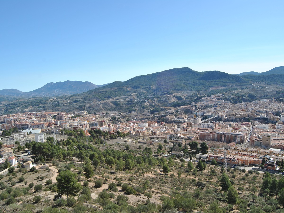
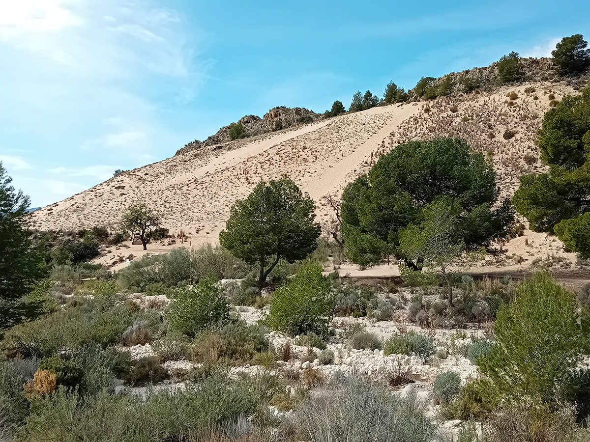
A beautiful stage of the GR 7 that starts in the emblematic Font Roja Sanctuary, in the natural park of the same name, and crosses the spectacular Portuguese oak forest on the north face of the Menejador mountain range and continues along the north face of the Ibi and Onil mountain ranges.
Trail:
One way (point-to-point)
Main

GR 7 COMUNITAT VALENCIANA. FREDES - EL PINÓS/PINOSO
Promoter: Generalitat Valenciana
Certification status: See stages
Reference municipality: Pobla de Benifassà (La)
Length: 586,60 km
Estimated walking time: 180:35:00
Elevation gain: 17.635 m
Elevation loss: 18.585 m
(0)
Previos stage
GR 7 E48 BARRANC DEL CINC - SANTUARIO DE LA FONT ROJA
Promoter: Generalitat Valenciana
Certification status: Positive quality control
Etapa número: 48
Reference municipality: Alcoy/Alcoi
Length: 10,70 km
Estimated walking time: 03:50:00
Elevation gain: 725 m
Elevation loss: 340 m
(0)
Next stage
GR 7 E50 CASTALLA - ELDA
Promoter: Generalitat Valenciana
Certification status: Positive quality control
Etapa número: 50
Reference municipality: Castalla
Length: 24,00 km
Estimated walking time: 07:10:00
Elevation gain: 445 m
Elevation loss: 715 m
(0)
Other trails connecting with this trail
PR-CV 26 IBI - SERRA DE MENEJADOR - IBI
Promoter: Diputación de Alicante
Certification status: Positive quality control
Reference municipality: Ibi
Length: 11,50 km
Estimated walking time: 04:15:00
Elevation gain: 660 m
Elevation loss: 650 m
(0)

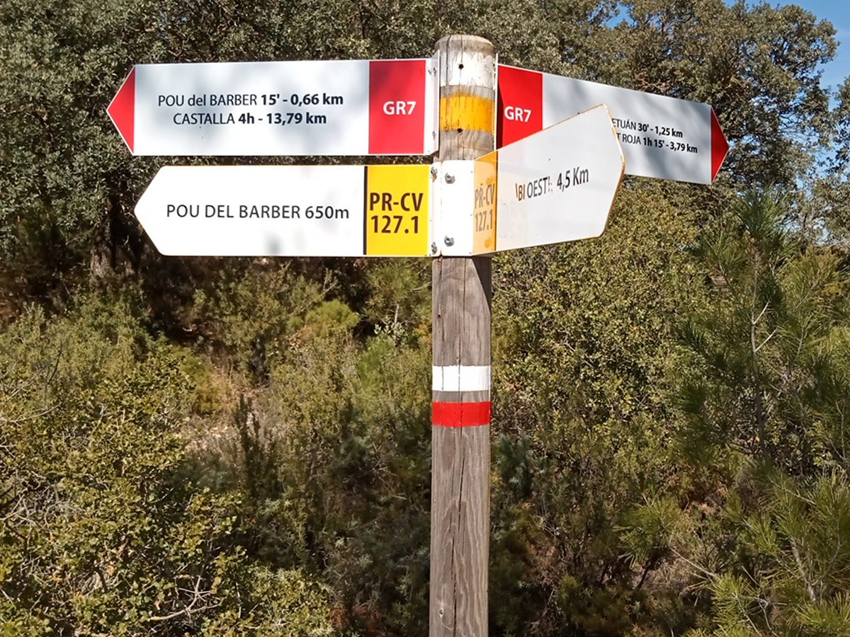
PR-CV 127.1 POU DEL BARBER - CAMÍ DE PARDINES
Promoter: Ayuntamiento de Ibi
Certification status: No quality controls
Reference municipality: Ibi
Length: 4,78 km
Estimated walking time: 01:15:00
Elevation gain: 220 m
Elevation loss: 220 m
(0)