
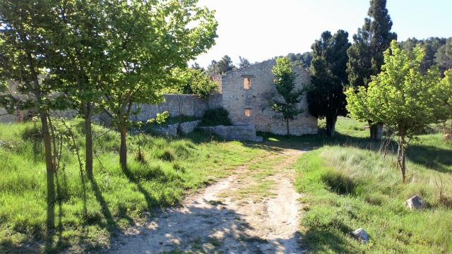
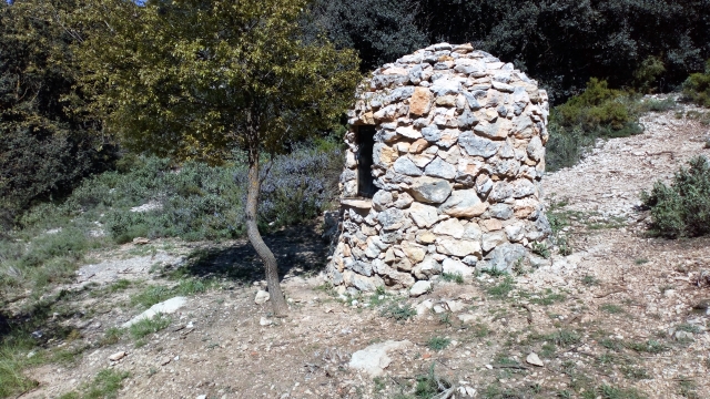
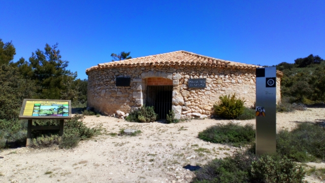
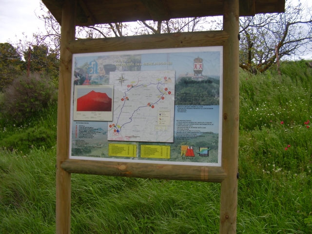
PR-CV 26 IBI - SERRA DE MENEJADOR - IBI
Promoter: Diputación de Alicante
Certification status: Positive quality control
0 reviews
Trail:
Loop with some overlapping out and back sections
Other trails connecting with this trail
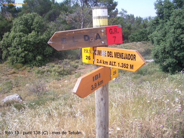
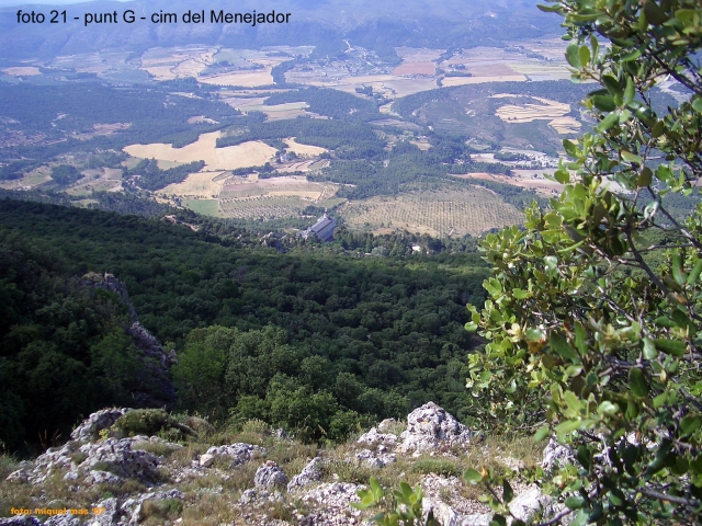
GR 7 E49 SANTUARIO DE LA FONT ROJA - CASTALLA
Promoter: Generalitat Valenciana
Certification status: Positive quality control
Etapa número: 49
Reference municipality: Alcoy/Alcoi
Length: 17,50 km
Estimated walking time: 04:20:00
Elevation gain: 245 m
Elevation loss: 655 m
(0)

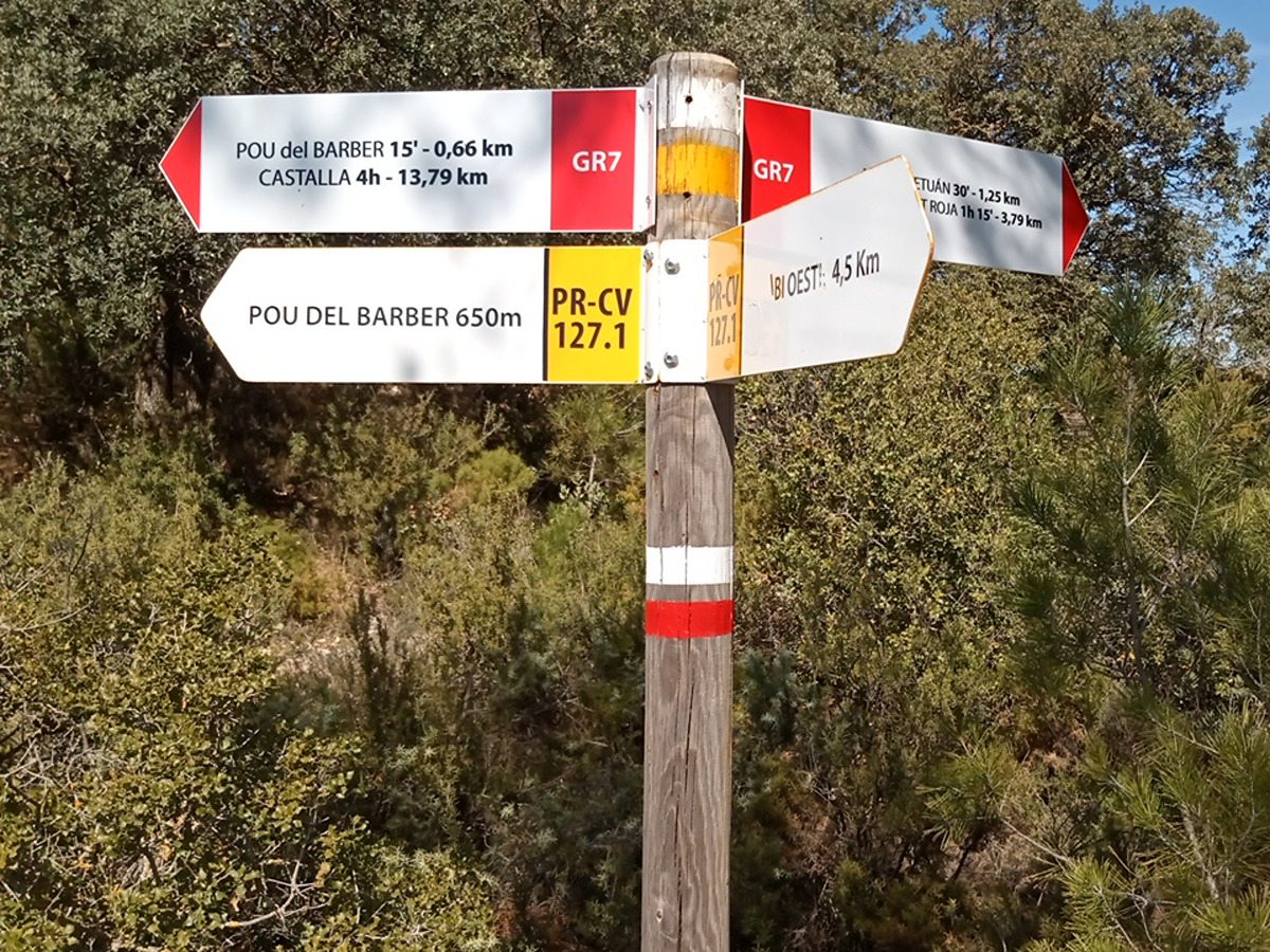
PR-CV 127 CAMI DELS GELADORS
Promoter: Ayuntamiento de Ibi
Certification status: Conditioned quality control
Reference municipality: Ibi
Length: 15,30 km
Estimated walking time: 05:05:00
Elevation gain: 605 m
Elevation loss: 605 m
(0)
PR-CV 128 CAMÍ DEL CARRASCAL
Promoter: Ayuntamiento de Ibi
Certification status: Conditioned quality control
Reference municipality: Ibi
Length: 7,60 km
Estimated walking time: 02:30:00
Elevation gain: 455 m
Elevation loss: 20 m
(2)
PR-CV 160 CASA TÀPENA - MAS DE PRATS
Promoter: Diputación de Alicante
Certification status: De-registered / De-approved
Reference municipality: Onil
(0)