
PR-CV 127 CAMI DELS GELADORS
Promoter: Ayuntamiento de Ibi
Certification status: Conditioned quality control
Following the inspection carried out by trail technicians, this trail has been declared of "limited adequacy" as a result of the faults detected in the signage. These include inadequate horizontal signs (paint markers) and/or vertical ones (trailheads and information boards) or lacking direction markers that do not provide sufficient information to properly follow the route. The builder of this trail has been informed of the situation.
For safety reasons and during maintenance work, it is advised to be extremely careful while taking this route. Furthermore, mountain sports entail risks associated with the activity itself and the environment where they take place, for which any person is fully liable. For this reason, hikes need to be planned properly and adequate training, equipment and sensible use of the trails are required.
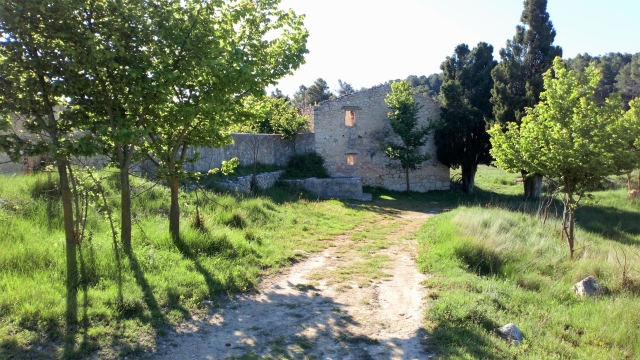
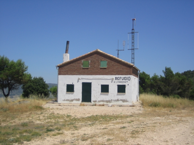
This route runs through the Barrancons de Ibi mountain range. It combines history—through several flour mills, paper mills and ice houses—with the nature of the Font Roja Natural Park, an area of holm oak and pine forests and the uniquely beautiful spot of Sant Pasqual. It also runs by several springs, which adds to its charm.
Alternative routes and routes leading to nearby points of interest

PR-CV 127.1 POU DEL BARBER - CAMÍ DE PARDINES
Promoter: Ayuntamiento de Ibi
Certification status: No quality controls
Other trails connecting with this trail
PR-CV 26 IBI - SERRA DE MENEJADOR - IBI
Promoter: Diputación de Alicante
Certification status: Positive quality control
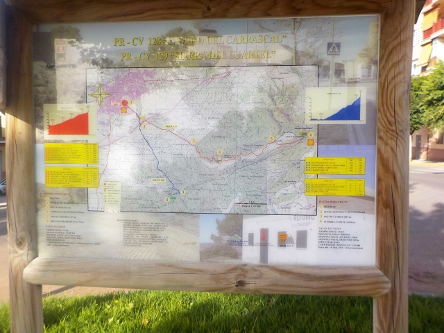
PR-CV 128 CAMÍ DEL CARRASCAL
Promoter: Ayuntamiento de Ibi
Certification status: Conditioned quality control
PR-CV 160 CASA TÀPENA - MAS DE PRATS
Promoter: Diputación de Alicante
Certification status: De-registered / De-approved
PR-CV 170 LES FOIES BLANQUES
Promoter: Ayuntamiento de Ibi
Certification status: Positive quality control