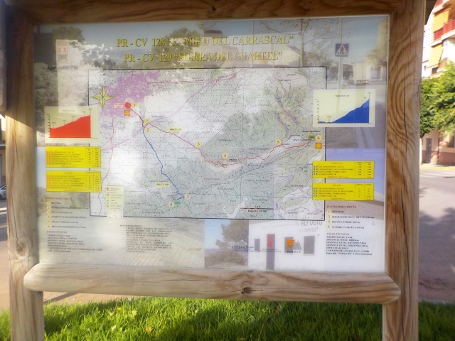
PR-CV 129 CAMÍ DE XIXONA
Promoter: Ayuntamiento de Ibi
Certification status: No quality controls
There is no proof of quality control on the record of this trail in the last years. For this reason, it is unknown whether it complies with the optimal signage and maintenance conditions for hikers to take the trail following these signs exclusively.
Hikers have to take into consideration that the information about the signage and maintenance of the trails for which the promoter entity is responsible might not be up to date anymore, since it refers to its state on the date of its approval. Furthermore, mountain sports entail risks associated with the activity itself and the environment where they take place, for which any person is fully liable. For this reason, hikes need to be planned properly and adequate training, equipment and sensible use of the trails are required.
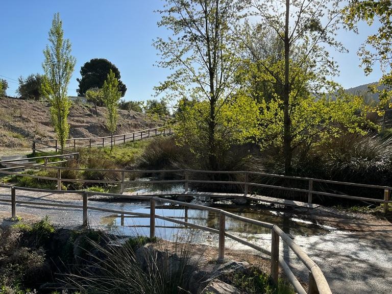
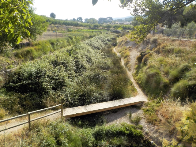
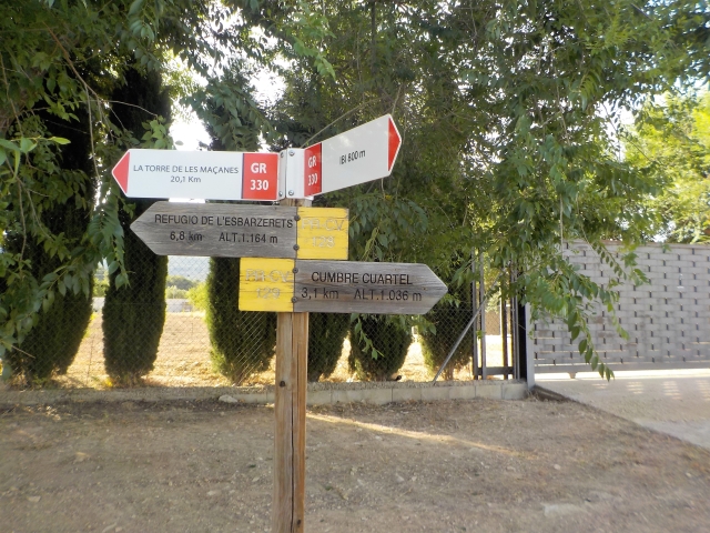
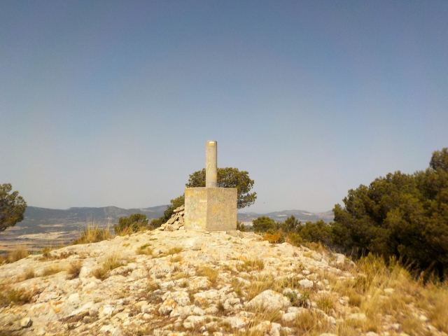
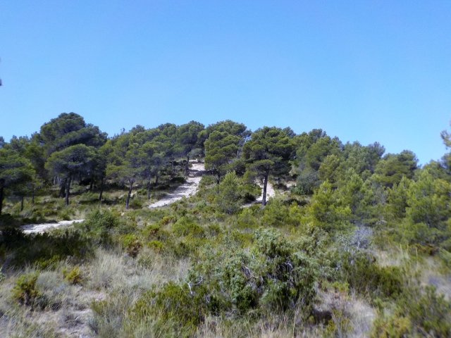
A very peaceful walk through the native Mediterranean forest typical of the area. A route that runs along well-defined paths, without any technical difficulty, through the forests of Sierra del Cuartel. It ends with a climb to the summit.
Other trails connecting with this trail

PR-CV 127 CAMI DELS GELADORS
Promoter: Ayuntamiento de Ibi
Certification status: Conditioned quality control
PR-CV 128 CAMÍ DEL CARRASCAL
Promoter: Ayuntamiento de Ibi
Certification status: Conditioned quality control