
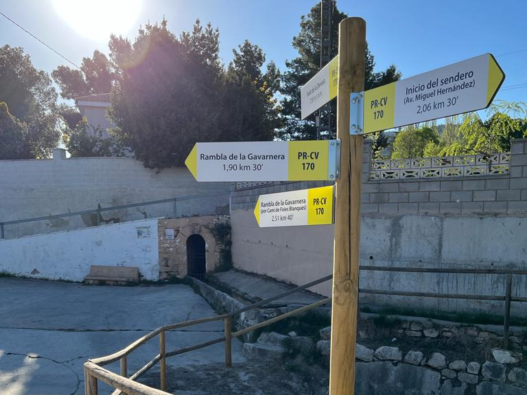
PR-CV 170 LES FOIES BLANQUES
Promoter: Ayuntamiento de Ibi
Certification status: Positive quality control
0 reviews
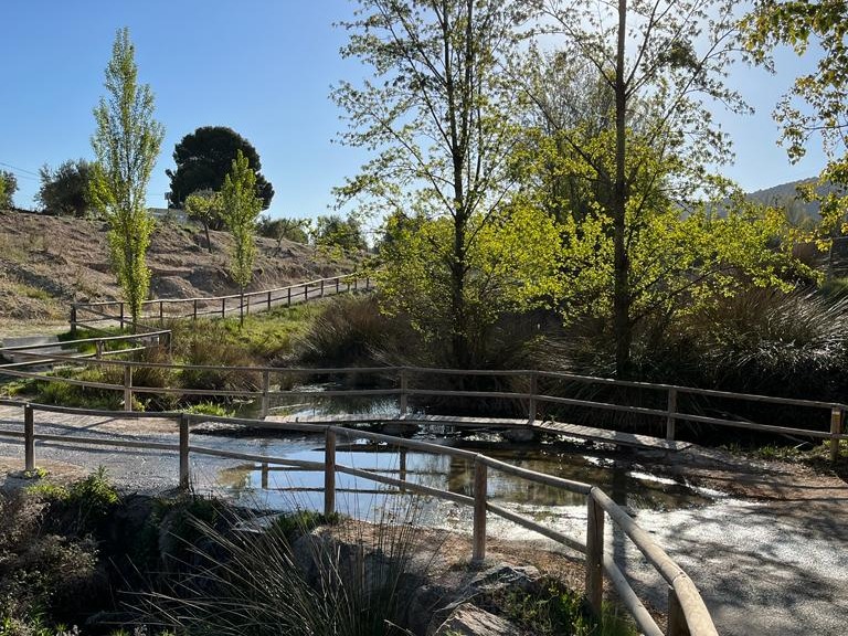
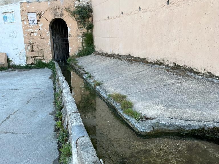
With a route that is not technically difficult, this trail runs through different country houses. Its greatest appeal is the recreational area of the Font de la Devesa spring and the Foies Blanques ravine. It descends along the Gavarnera ravine and passes very close to the Font de Sopalmo reservoir.
Trail:
Loop with some overlapping out and back sections
Other trails connecting with this trail

PR-CV 127 CAMI DELS GELADORS
Promoter: Ayuntamiento de Ibi
Certification status: Conditioned quality control
Reference municipality: Ibi
Length: 15,30 km
Estimated walking time: 05:05:00
Elevation gain: 605 m
Elevation loss: 605 m
(0)
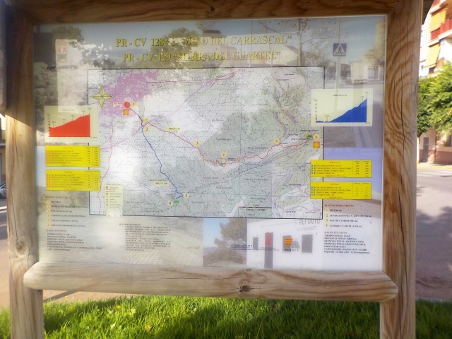
PR-CV 128 CAMÍ DEL CARRASCAL
Promoter: Ayuntamiento de Ibi
Certification status: Conditioned quality control
Reference municipality: Ibi
Length: 7,60 km
Estimated walking time: 02:30:00
Elevation gain: 455 m
Elevation loss: 20 m
(2)
Reference municipality: Ibi
Length: 3,80 km
Estimated walking time: 01:25:00
Elevation gain: 340 m
Elevation loss: 30 m
(0)