Rate this trail

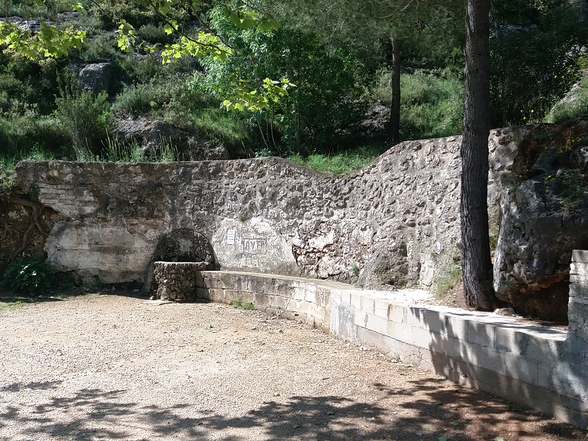
PR-CV 134.1 FONT DEL PATGE

Promoter: Ayuntamiento de Agullent

Certification status: Positive quality control

2 reviews

Derivation that connects this trail to the PR-CV 121 trail and takes you to the Patge spring.

Trail:
One way (point-to-point)
Technical data:
Length:
1,90 km
Estimated walking time:
00:35:00
Elevation gain:
0 m
Elevation loss:
130 m
MIDE ratings:
Level of natural risks:
1
Navigation on the trail:
2
Hiking difficulty:
2
Fitness level needed:
2

More information on Montaña Segura

Difficulty rating according to FEDME:
Unknown
Useful information:
Date of certification:
15-10-1998
Date of the last Quality Control:
november de 2023
Reference municipality:
District:
Province:
Valencia/València
Cartography IGN MTN25:
0820-2

Downloadable from the Catalogue of the IGN Map Library

See other trails of this promoter:
Key points of the route:

Old road from Albaida to Agres (Foieta dels Carros) - Pla dels Faixeros (plain) - Camino de la Font del Patge (path) (PR-CV 121 connection) - Font del Patge (spring)

Route description (only available in Spanish)

El inicio lo encontramos en las cercanías de la foieta dels Carros. Bajaremos por el antiguo camino de Albaida a Agres en dirección norte. En una pequeña explanada, seguimos la senda de la izquierda hasta la pista de la Fonteta del Patge donde enlazamos con el PR-CV 121 y que tomaremos a la derecha hasta la fuente.

Downloads:

Beware! Navigation devices may fail, batteries may run out of power and devices may break down. Do not use only electronic means to track your activities in the mountains; they must be used as a complement to the map and compass. Get some proper training and enjoy the mountains.

Other trails connecting with this trail