
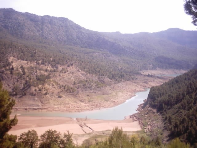
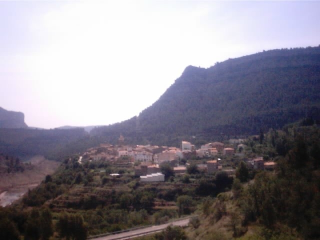
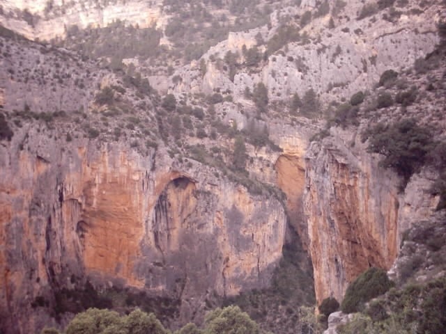
PR-CV 126 ALTO CURSO DEL MIJARES
Promoter: IDUBEDA
Certification status: Negative quality control
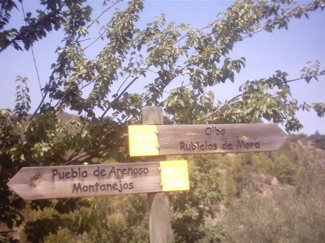
Following the inspection carried out by trail technicians, this trail has lost its approval temporarily. This situation constitutes a measure taken by Registro de Senderos de la Comunitat Valenciana for those approved trails where faults in the signage have been detected. These include inadequate horizontal signs (paint markers) and/or vertical ones (trailheads and information boards) or lacking direction markers that compromise the safety of the route given that they do not meet maintenance requirements. The builder of this trail has been informed of the situation.
For safety reasons and for the duration of maintenance work, the official search engine for approved trails in Comunitat Valenciana will not provide information on this trail anymore.
In these cases, the FEMECV considers these trails to be backcountry that requires navigation and mountain safety skills, where the hiker takes the risk of any fault in the signs or lack thereof. When in doubt, we recomend you to opt for a fully approved trail, to join activities organised by a hiking club that belongs to the FEMECV or to hire a mid-mountain guide.