Rate this trail

PR-CV 147 LA CATEDRAL DEL SENDERISMO

Promoter: Ayuntamiento de la Vall de Laguar

Certification status: Positive quality control

0 reviews

There is no proof of quality control on the record of this trail in the last years. For this reason, it is unknown whether it complies with the optimal signage and maintenance conditions for hikers to take the trail following these signs exclusively.
Hikers have to take into consideration that the information about the signage and maintenance of the trails for which the promoter entity is responsible might not be up to date anymore, since it refers to its state on the date of its approval. Furthermore, mountain sports entail risks associated with the activity itself and the environment where they take place, for which any person is fully liable. For this reason, hikes need to be planned properly and adequate training, equipment and sensible use of the trails are required.

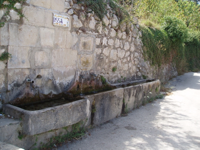
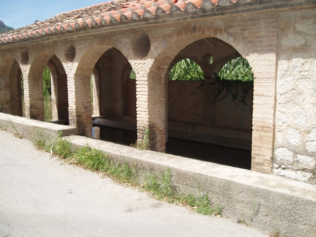
Circular route that starts in Fleix, one of the three towns that make up the municipality of Vall de Laguar. Known as "The Cathedral of Hiking" or "The route of the 6,800 stone steps", this is a moderately physically demanding route through zigzagging ascents and descents crossing the Girona river twice, a section of it better known as the Infern ravine.

Trail:
Loop with some overlapping out and back sections
Technical data:
Length:
13,70 km
Estimated walking time:
06:00:00
Elevation gain:
1.055 m
Elevation loss:
1.055 m
MIDE ratings:
Level of natural risks:
2
Navigation on the trail:
2
Hiking difficulty:
2
Fitness level needed:
4

More information on Montaña Segura

Difficulty rating according to FEDME:
Unknown
Useful information:
Date of certification:
18-01-1998
Date of the act of registration in the Public Register:
22-05-2007
Date of the last Quality Control:
june de 2024
Reference municipality:
District:
Province:
Alicante/Alacant
Cartography IGN MTN25:
0822-1

Downloadable from the Catalogue of the IGN Map Library

See other trails of this promoter:
Protected Natural Spaces:

We advise you to look up the regulations and/or authorisations for using the trails in these conservation areas on the website of the Conselleria de Medio Ambiente, Agua, Infraestructuras y Territorio

  • Muntanyes de la Marina (SPAB - Special Protection Area for Birds)
  • Valls de la Marina (SIC - Site of Community Interest)
  • Valls de la Marina (SAC - Special Area of Conservation)
Key points of the route:

Calle Era (street) - Riu Girona (river) - Cami de la Juvea Del Poble d'Enmig (path) - Riu Girona (river) - La Juvea de d'Alt - Barranc dels Racons (ravine) - Font dels Olbis (spring) - Benimaurell

Route description (only available in Spanish)

Salimos en dirección oeste en busca del camino de Cantorres hasta la fuente Grossa y el lavadero donde cogemos la senda que nos lleva al Forat y luego al río Girona. Después de cruzar el río, normalmente seco, seguimos el sendero en dirección norte que nos lleva al pou de les Juvees d’Enmig. Seguimos en dirección oeste hacia les Juvees d’Enmig para buscar el camino que nos lleva, primero a la fuente del Reinós y luego al río Girona, donde lo cruzamos para buscar la subida a les Juvees de Dalt, una vez en les Juvees seguimos en dirección oeste para buscar un sendero a nuestra izquierda que, en dirección suroeste, nos lleva al barranco del Tuerto primero y luego al barranco dels Racóns que remontamos para subir en dirección al Pla y la fuente dels Olbis. A continuación, seguimos nuestro camino en dirección a Benimaurell, donde enlazamos con el PR-CV 187. Pasamos junto a la fuente y el lavadero para seguir el camino de la Fuente Grossa hasta llegar de nuevo a Fleix.

Downloads:

Beware! Navigation devices may fail, batteries may run out of power and devices may break down. Do not use only electronic means to track your activities in the mountains; they must be used as a complement to the map and compass. Get some proper training and enjoy the mountains.

Other trails connecting with this trail