Rate this trail

PR-CV 149 EL CASTELLET

Promoter: Diputación de Alicante

Certification status: Positive quality control

0 reviews

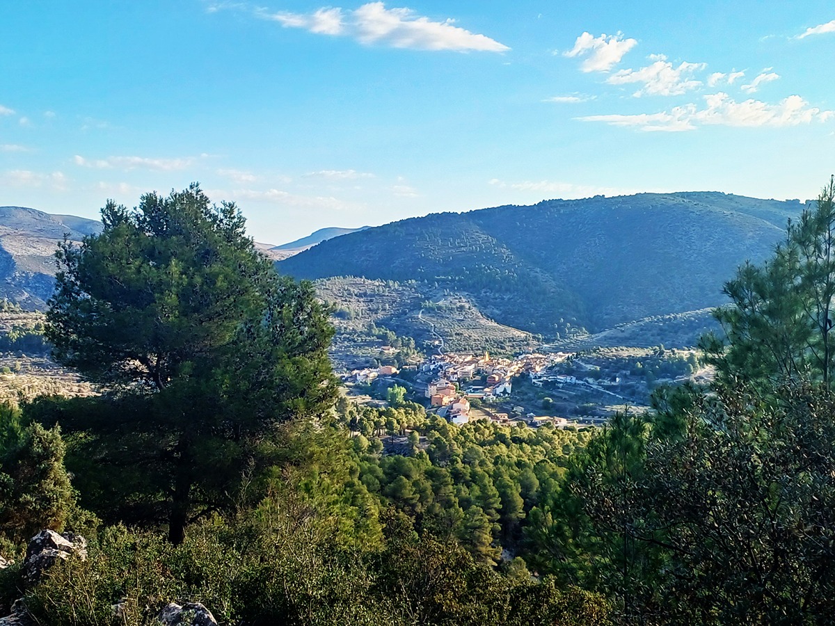
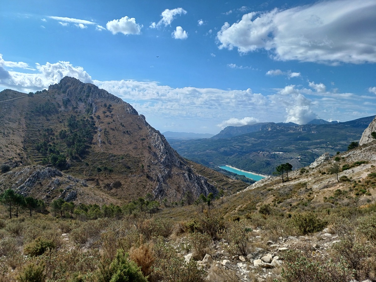
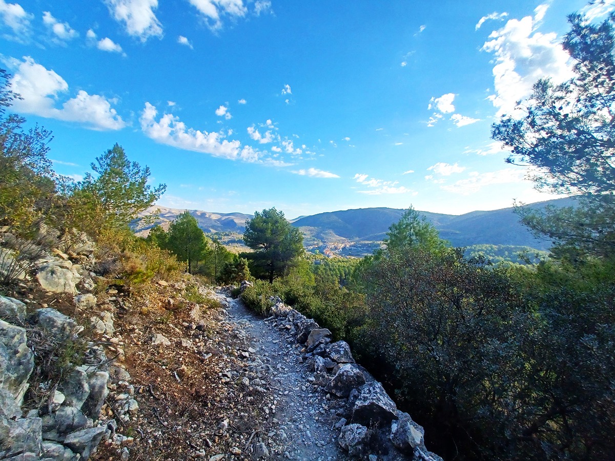
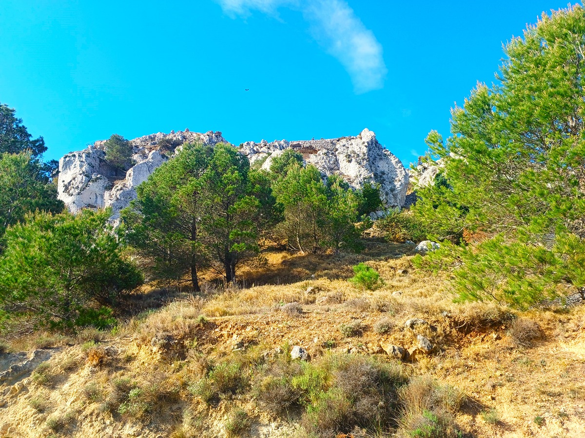
Circular route that starts at the Castellet recreational area, very close to the village of Castell de Castells. It reaches Castellet halfway through the route, one of the Arab vestiges of the Marina Alta with an impressive enclave to control the valleys of the Guadalest river and the Xalò or Gorgos river, a landmark in the Xortà and Serrella mountain ranges.

Trail:
Loop with some overlapping out and back sections
Technical data:
Length:
9,50 km
Estimated walking time:
03:20:00
Elevation gain:
465 m
Elevation loss:
465 m
MIDE ratings:
Level of natural risks:
2
Navigation on the trail:
2
Hiking difficulty:
2
Fitness level needed:
3

More information on Montaña Segura

Difficulty rating according to FEDME:
Unknown
Useful information:
Date of certification:
15-12-1998
Date of the act of registration in the Public Register:
22-05-2007
Date of the last Quality Control:
may de 2024
Reference municipality:
Otros municipios por los que transcurre:
District:
Province:
Alicante/Alacant
Cartography IGN MTN25:
0821-4

Downloadable from the Catalogue of the IGN Map Library

See other trails of this promoter:
Protected Natural Spaces:

We advise you to look up the regulations and/or authorisations for using the trails in these conservation areas on the website of the Conselleria de Medio Ambiente, Agua, Infraestructuras y Territorio

  • Aitana, Serrella y Puig Campana (SIC - Site of Community Interest)
  • Aitana, Serrella y Puig Campana (SAC - Special Area of Conservation)
  • Els Arcs (Municipal Natural Site)
  • Muntanyes de la Marina (SPAB - Special Protection Area for Birds)
Key points of the route:

Castell de Castells - CamÍ dels Racons (path) - Portet de Castells (peak) - Penya el Castellet (peak) - Cami dels Racons (path) - Castell de Castells

Route description (only available in Spanish)

Desde el área recreativa del Castellet partimos por una estrecha pista en ascenso dejando a la derecha la casa de la zona recreativa. Más adelante, nuestro camino pasa a ser senda que nos hace ganar altura sin apenas esfuerzo. Llegamos a una pista. El tramo realizado es el que repetiremos para volver al inicio. En el cruce giramos a la izquierda en la pista para continuar por ella llaneando hasta llegar a un camino de cemento donde giramos a la derecha. Continuamos en ascenso hasta alcanzar el collado denominado Portet de Castells. Giramos a la derecha por pista. Aquí el ascenso es más evidente y más adelante llegamos a un collado donde cogemos una senda a la izquierda que nos lleva al Castellet. Volvemos por la misma senda al collado y ahora giramos a la izquierda. Más adelante continuamos sin dejar la pista hasta alcanzar otro cruce donde giramos a la derecha y seguimos por este camino hasta llegar al cruce de la senda por la que hemos subido desde la zona recreativa. Seguimos la senda para volver al punto de partida.

Downloads:

Beware! Navigation devices may fail, batteries may run out of power and devices may break down. Do not use only electronic means to track your activities in the mountains; they must be used as a complement to the map and compass. Get some proper training and enjoy the mountains.

Other trails connecting with this trail