Rate this trail

PR-CV 164 LA VALL D'UIXÓ - FONT DEL NOGUERET - FONT DE CABRES

Promoter: Ayuntamiento de la Vall d'Uixó

Certification status: Positive quality control

0 reviews

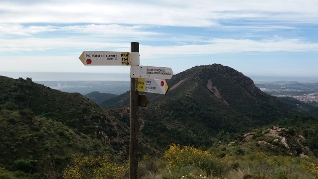
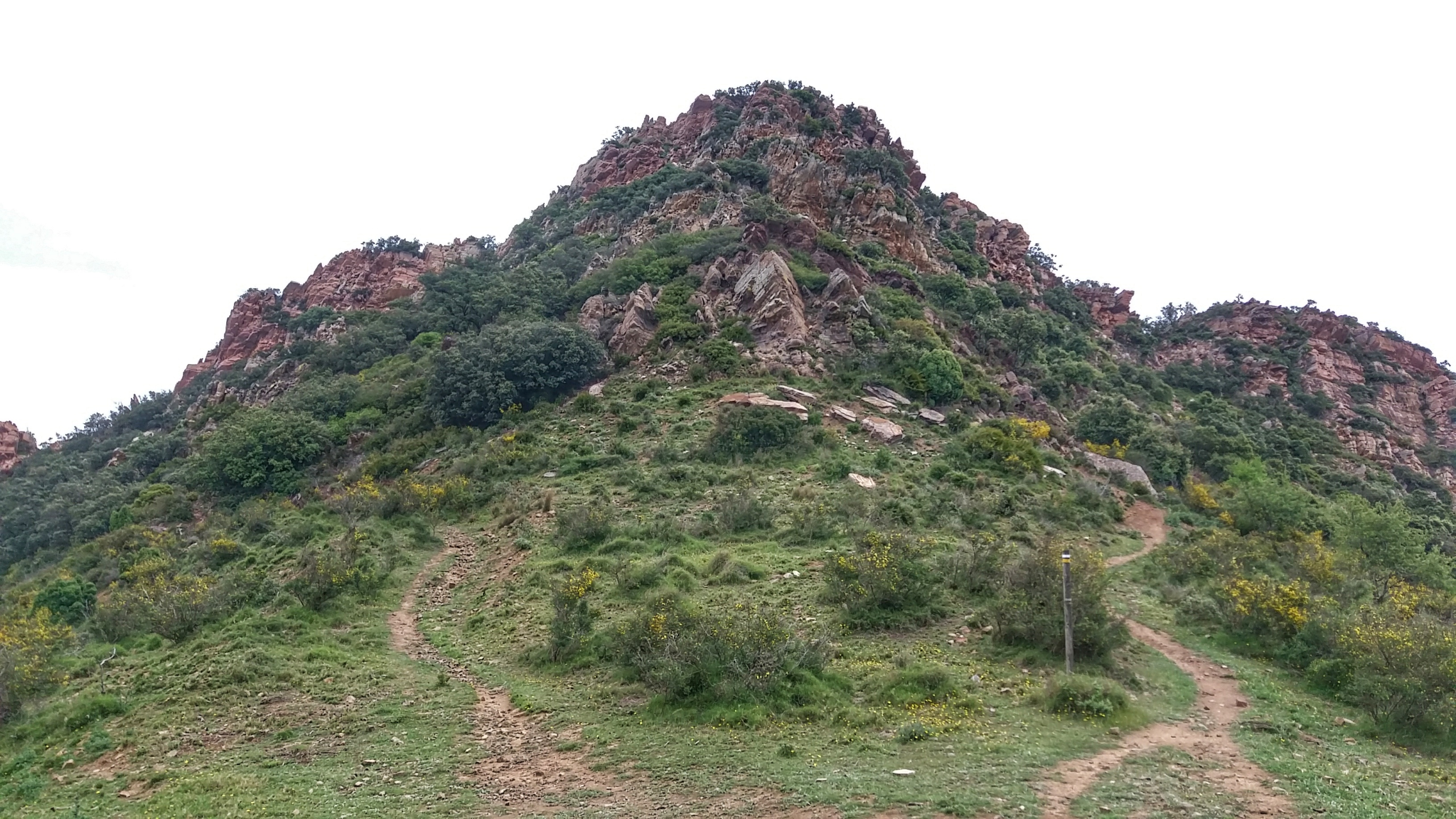
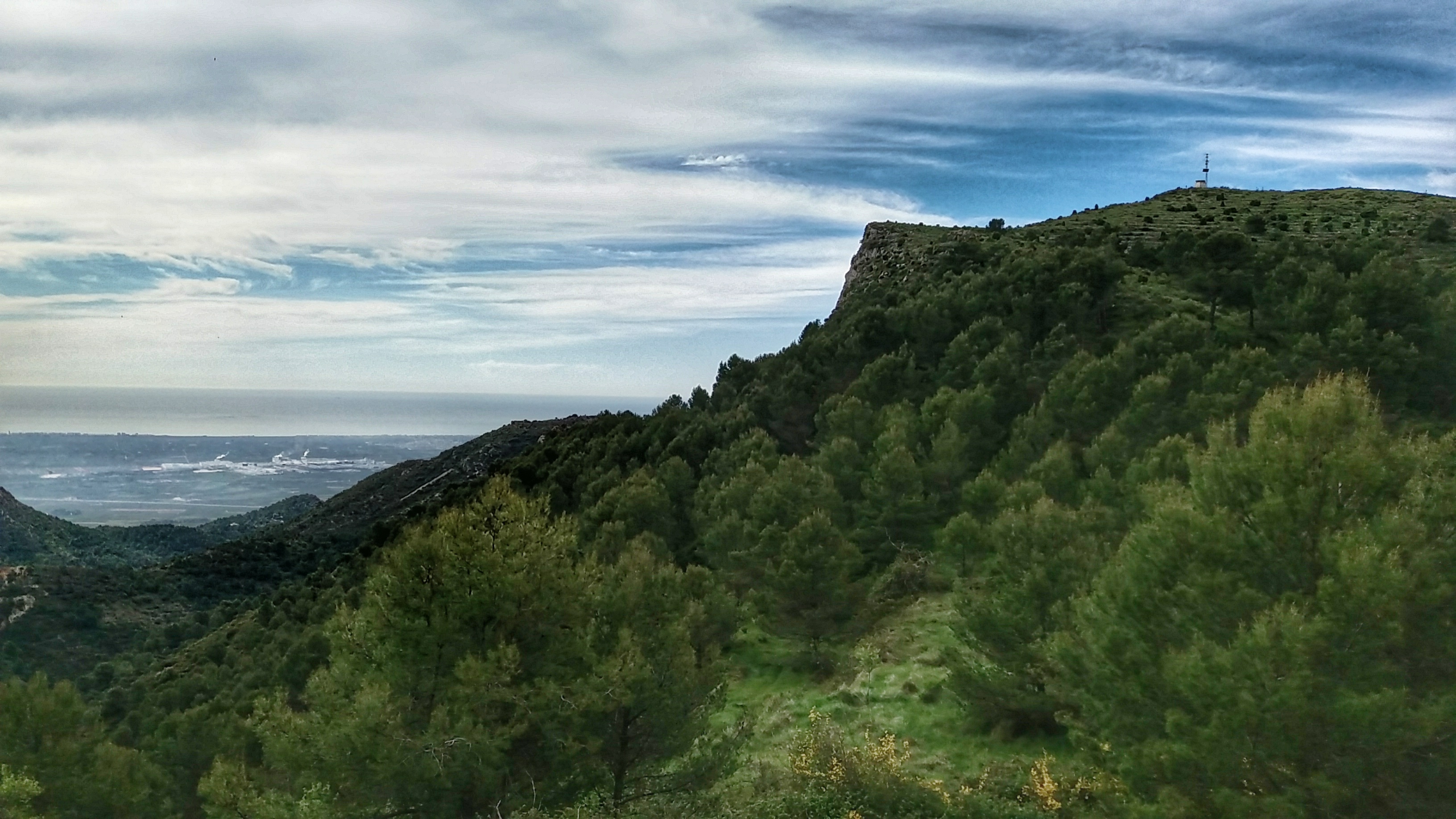
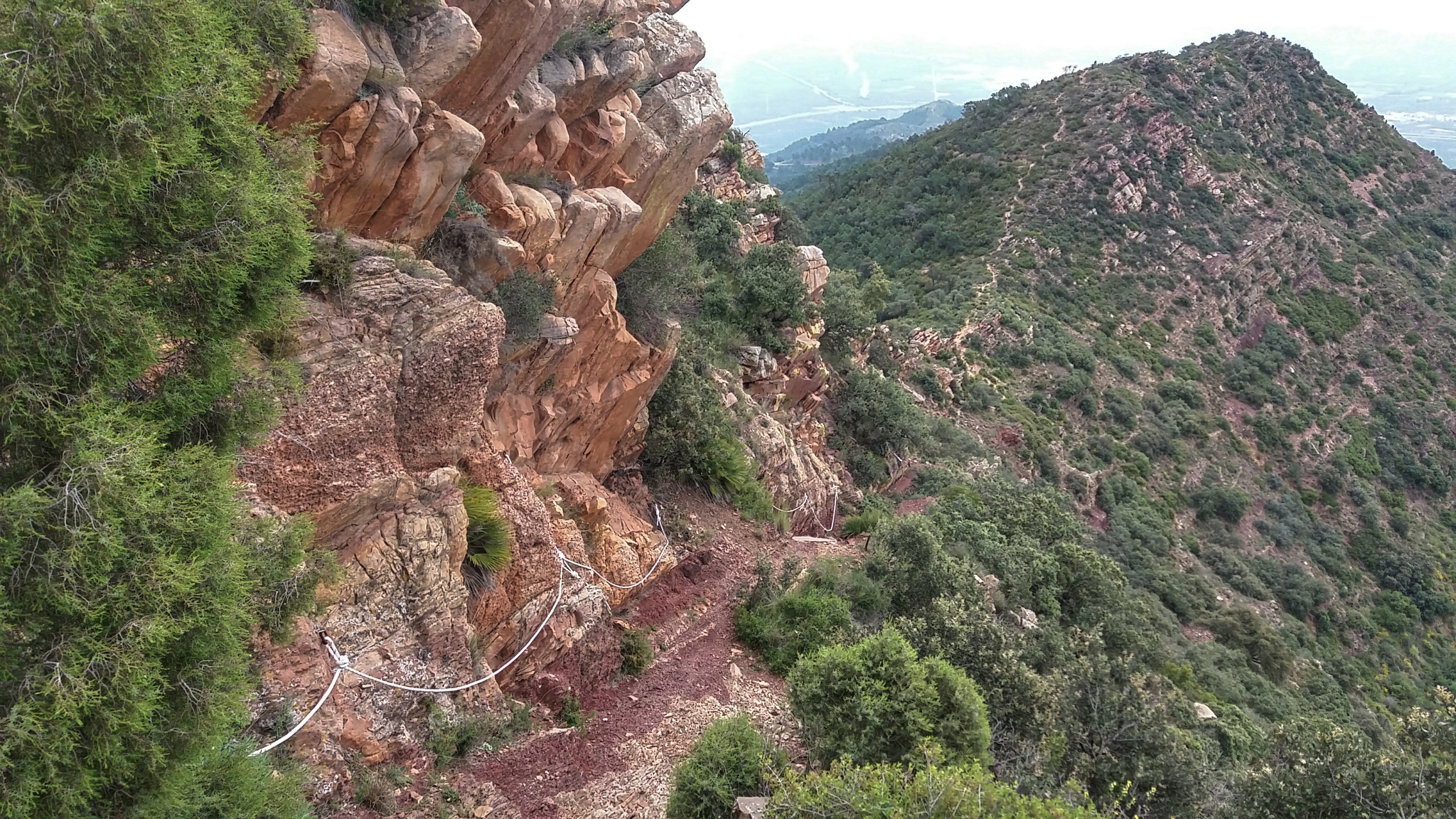
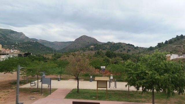
This trail finds itself in the first spurs of the Espadán mountain range, where pine forests mixed with dryland farms, some already abandoned, cover the landscape. It allows you to enjoy panoramic views of great beauty, passing through areas of interest in Vall d'Uixó such as the shady side of Font de Cabres, the 631 m peak of the same name, Penyes de Mondragó and the Font Cervera area.

Trail:
Loop
Technical data:
Length:
13,60 km
Estimated walking time:
04:50:00
Elevation gain:
680 m
Elevation loss:
680 m
MIDE ratings:
Level of natural risks:
2
Navigation on the trail:
2
Hiking difficulty:
2
Fitness level needed:
3

More information on Montaña Segura

Difficulty rating according to FEDME:
Unknown
Useful information:
Date of certification:
15-11-1999
Date of the act of registration in the Public Register:
22-05-2007
Date of the last Quality Control:
may de 2021
Reference municipality:
District:
Province:
Castellón/Castelló
Cartography IGN MTN25:
0640-4; 0668-2

Downloadable from the Catalogue of the IGN Map Library

See other trails of this promoter:
Protected Natural Spaces:

We advise you to look up the regulations and/or authorisations for using the trails in these conservation areas on the website of the Conselleria de Medio Ambiente, Agua, Infraestructuras y Territorio

  • Penyalba (Flora Micro-reserve)
  • Sierra de Espadán y Curso Alto del Mijares (SIC - Site of Community Interest)
Key points of the route:

La Vall d'Uixó - Font del Nogueret (spring) - L'Ereta -Pic Font de Cabres (peak) - Coll de Bledar (col) - Detour to Font de la Cervera - La Vall d'Uixó

Route description (only available in Spanish)

Iniciamos el recorrido en la ctra. de Segorbe para salir del pueblo por la calle 12 del barrio Carbonaire donde empieza el Camí de la Font de Noguret. En el camino encontraremos las ruinas de la Casota (s. XI) y un par de fuentes.

Desde el área recreativa de la Font del Nogueret seguimos ascendiendo, ahora por senda, hacia las Penyes de Mondragó, dejando a los lados otras sendas de cazadores y de la zona de escalada hasta llegar a la pista de Alfondeguilla a Artan en la zona conocida como l'Ereta. Después de unos metros por la pista encontramos la senda del Frontó que pasa por un área de descanso cerca de los corrales de Turmó y nos conduce a los pies del Font de Cabres. Subimos y bajamos por la canal de rocas para seguir la senda hasta el coll de Bledar.

Desde el collado bajamos siguiendo el barranco hasta un aljibe al inicio del camino de Font de Cabres. Poco más adelante encontramos la boca del Fardatxo, una roca con esa forma característica. Seguimos y pasamos por el desvío de la Font Cervera (a unos 400 metros). Desde aquí, en dirección a la Vall seguimos el camino asfaltado que ya no dejaremos hasta el final del recorrido.

Downloads:

Beware! Navigation devices may fail, batteries may run out of power and devices may break down. Do not use only electronic means to track your activities in the mountains; they must be used as a complement to the map and compass. Get some proper training and enjoy the mountains.

Other trails connecting with this trail
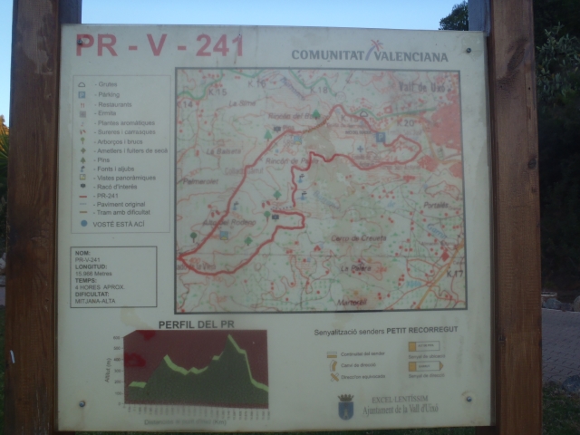