Rate this trail

PR-CV 167 VALL DE GALLINERA - ALPATRÓ - BENIALÍ

Promoter: Diputación de Alicante

Certification status: Positive quality control

0 reviews

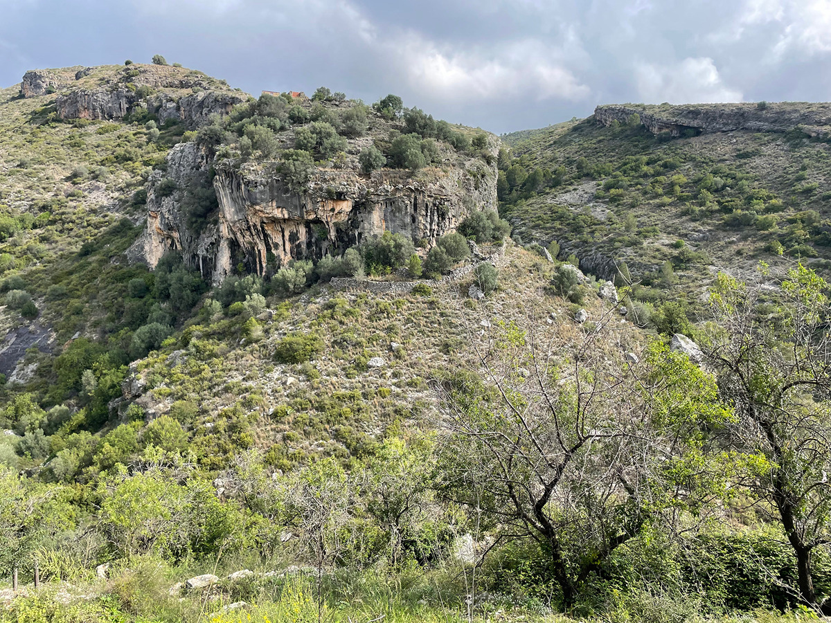
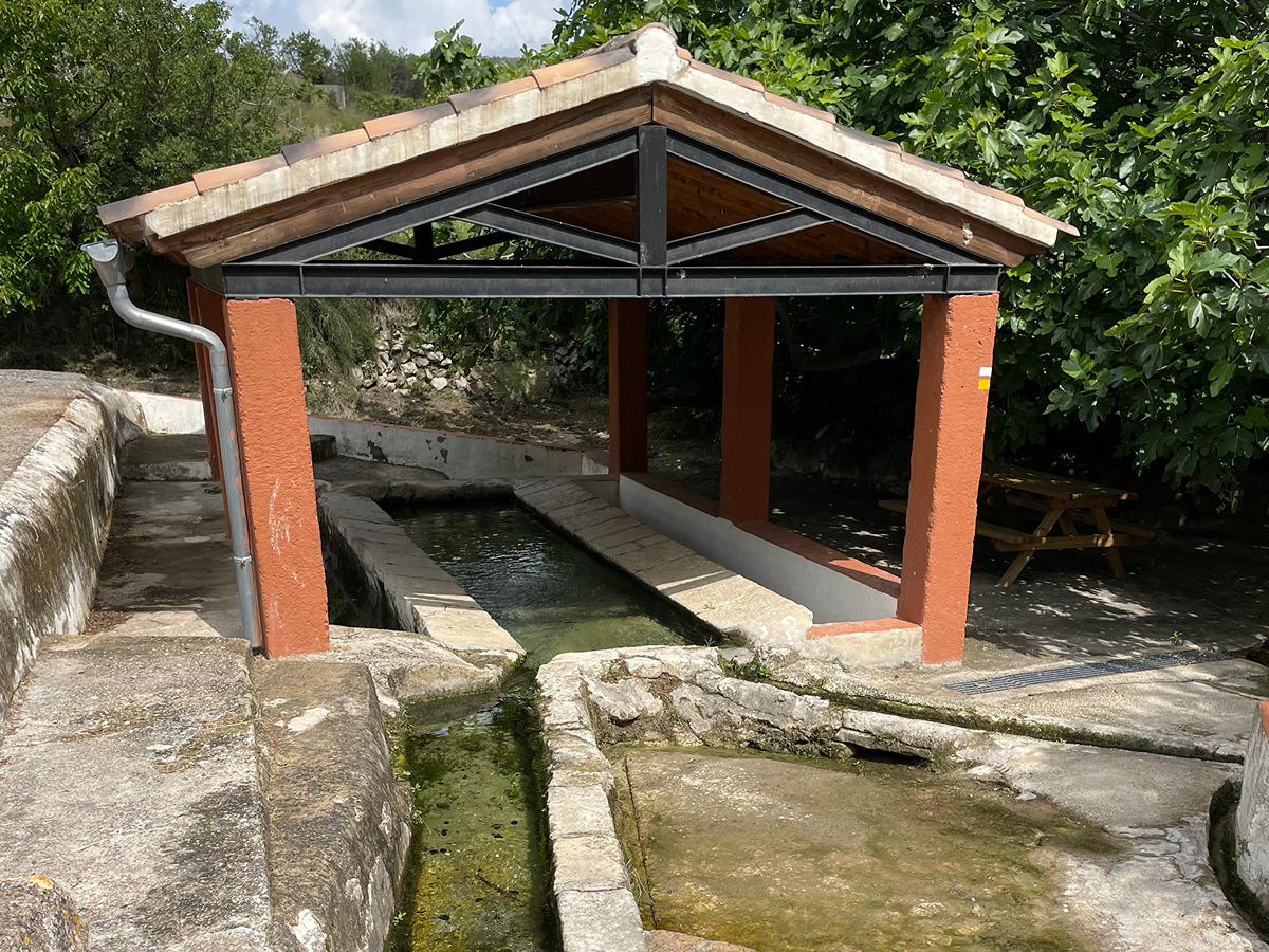
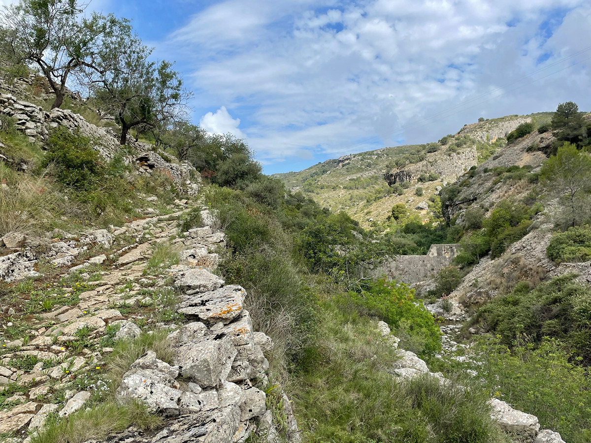
A simple route that runs along part of the Gallinera river, dryland farms for crops such as olives, almonds and cherries, and different villages in Vall de Gallinera, surrounded by a mountainous landscape.

Trail:
One way (point-to-point)
Technical data:
Length:
5,70 km
Estimated walking time:
01:45:00
Elevation gain:
110 m
Elevation loss:
240 m
MIDE ratings:
Level of natural risks:
2
Navigation on the trail:
2
Hiking difficulty:
2
Fitness level needed:
2

More information on Montaña Segura

Difficulty rating according to FEDME:
Unknown
Useful information:
Date of certification:
15-05-2000
Date of the act of registration in the Public Register:
22-05-2007
Date of the last Quality Control:
july de 2023
Reference municipality:
District:
Province:
Alicante/Alacant
Cartography IGN MTN25:
0821-2

Downloadable from the Catalogue of the IGN Map Library

See other trails of this promoter:
Protected Natural Spaces:

We advise you to look up the regulations and/or authorisations for using the trails in these conservation areas on the website of the Conselleria de Medio Ambiente, Agua, Infraestructuras y Territorio

  • Muntanyes de la Marina (SPAB - Special Protection Area for Birds)
  • Valls de la Marina (SIC - Site of Community Interest)
Key points of the route:

Alpatró - La Carroja - Lavadero de Benissivà (old wash house) - Benissivà - Benialí

Route description (only available in Spanish)

Iniciamos la ruta en Alpatró. Seguimos la calle Purísima para cruzar el pueblo en dirección sur. Después de girar a la derecha por la calle san Marc, nos dirigiremos hacia el río Gallinera.

Seguiremos la senda que nos llevará por el margen izquierdo del barranco y una vez hayamos salido de este, el camino nos conducirá hacia el área recreativa de la Garriga. Continuaremos por el camino que transcurre paralelo al río. Una vez llegamos a una bifurcación de sendas, seguimos por el ramal ascendente hasta llegar a la población de la Carroja y la cruzamos desembocando en la carretera. En este punto encontraremos la fuente del lavadero. Seguiremos por el asfalto hasta que en la última casa abandonamos la carretera por un camino que nos llevará a la piscina municipal.

De nuevo llegamos a la carretera siguiendo por ella unos 150 m, tomamos una senda a nuestra izquierda que nos aproxima a un camino continuando por la derecha hasta llegar al lavadero de Benissivà, nuestra senda continúa por detrás de las casas hasta llegar al núcleo de Benissivà, el cual cruzamos por ante la iglesia y seguimos por un camino paralelo a la carretera hasta llegar a Benialí.

Downloads:

Beware! Navigation devices may fail, batteries may run out of power and devices may break down. Do not use only electronic means to track your activities in the mountains; they must be used as a complement to the map and compass. Get some proper training and enjoy the mountains.

Other trails connecting with this trail