Rate this trail

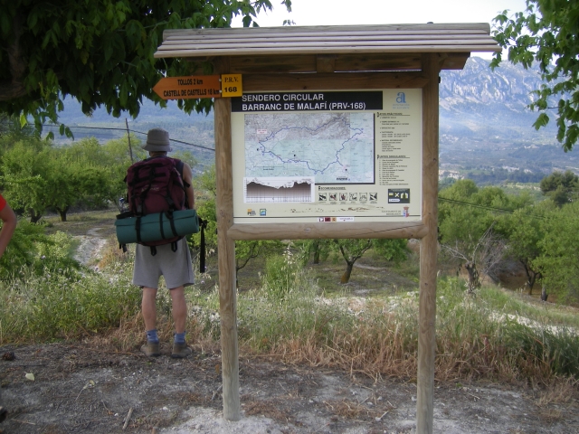
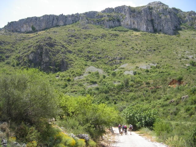
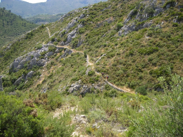
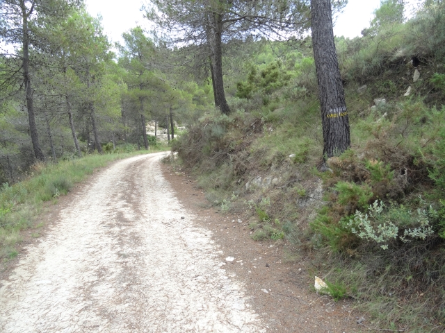
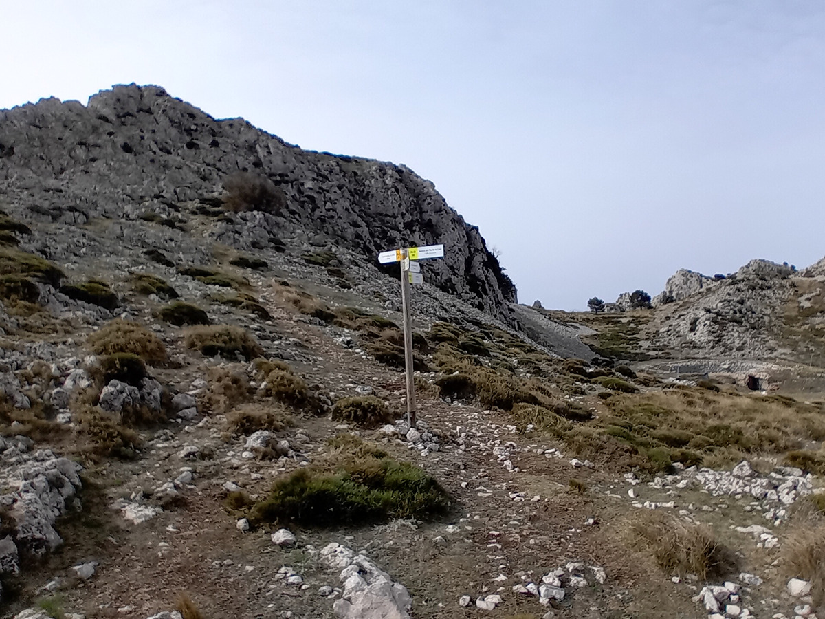
PR-CV 168 BENIMASSOT - BARRANC DE MALAFÍ - CASTELL DE CASTELLS - BENIMASSOT

Promoter: Diputación de Alicante

Certification status: No quality controls

0 reviews

There is no proof of quality control on the record of this trail in the last years. For this reason, it is unknown whether it complies with the optimal signage and maintenance conditions for hikers to take the trail following these signs exclusively.
Hikers have to take into consideration that the information about the signage and maintenance of the trails for which the promoter entity is responsible might not be up to date anymore, since it refers to its state on the date of its approval. Furthermore, mountain sports entail risks associated with the activity itself and the environment where they take place, for which any person is fully liable. For this reason, hikes need to be planned properly and adequate training, equipment and sensible use of the trails are required.

Trail:
Loop with some overlapping out and back sections
Technical data:
Length:
33,90 km
Estimated walking time:
10:55:00
Elevation gain:
1.165 m
Elevation loss:
1.165 m
MIDE ratings:
Level of natural risks:
1
Navigation on the trail:
2
Hiking difficulty:
2
Fitness level needed:
5

More information on Montaña Segura

Difficulty rating according to FEDME:
Unknown
Starting point:
Interest Tags:
Trail with historical-artistic interest

Useful information:
Date of certification:
15-05-2000
Date of the act of registration in the Public Register:
22-05-2007
Reference municipality:
Otros municipios por los que transcurre:
District:
Province:
Alicante/Alacant
Cartography IGN MTN25:
0821-2; 0821-4

Downloadable from the Catalogue of the IGN Map Library

See other trails of this promoter:
Protected Natural Spaces:

We advise you to look up the regulations and/or authorisations for using the trails in these conservation areas on the website of the Conselleria de Medio Ambiente, Agua, Infraestructuras y Territorio

  • Aitana, Serrella y Puig Campana (SIC - Site of Community Interest)
  • Els Arcs (Municipal Natural Site)
  • Muntanyes de la Marina (SPAB - Special Protection Area for Birds)
  • Valls de la Marina (SIC - Site of Community Interest)
Key points of the route:

Benimassot - Tollos - Pla de Tollos (plain) - Barranc de Malafí (ravine) - Pla de Petracos (plain) - Casas Espelda (old rural house) - Río Castells (river) - Castell de Castells, connection with PR-CV 19, 46, 49, 149, 150 - Barranco de Famorca (ravine) - Barranco de Racó (ravine) - Famorca , Fageca, connection with PR-CV 182 - connection with PR-CV 182 - Benimassot

Route description (only available in Spanish)
Salimos de Benimassot en dirección a Tollos por la carretera CV-720, antes de llegar, cogemos el camino a la izquierda que nos lleva al corral de les Penyetes y desde aquí a Tollos cogemos el camino de les Foies a Tollos, salimo de Tollos por la calla Nueva para coger la CV-713, que dejamos cogiendo a la izquierda el camino de Les Penyetes hasta la Colada de Anchels que seguimos hasta coger de nuevo el camino de Les Penyetes, junto al barranco del Molí pasando junto al corral del Seguí en el barranco de Maladí, seguimos el barranco hasta llegar al camino de Tarrenyes, donde cogemos el camino de la Vall d’Ebo hasta la Coveta de la Figuera, donde cogemos una senda que nos lleva al Colladet dels Obrers, seguimos en dirección al Racó de Ceba donde seguimos el camino d’Espetla, pasamos juntos a la Font d’Espetla, 500 metros después, cogemos la senda que tenemos a nuestra izquierda y que nos lleva al Molino de Gomis en el rio de Xaló o de Gorgos, lo seguimos pasando por el caorral de Parranda y el Racó del Ciret hasta el barranco de Bitla donde cogemos el camino de les Hortes hasta Castells de Castells, este camino lo haremos de vuelta para continuar por el camino de Santa Maira, cruzaremos el río de Famorca, para remontar el barranco de la Retura en dirección a el Tossal, donde cruzamos la carretera CV-720 buscando la Font Nova y el Racó del Teix, donde seguimos hasta el barranco de la Mallada Alta cruzándolo buscando Corrals de la Cova y el Salt de la Cova, seguimos por el camino de la Cova hasta Famorca, que atravesamos para dirigirnos a la Font dels Noguerets y posteriormente a Fageca junto al rio de Famorca, salimos de Fageca por la CV-720 hasta el barranco de les Coves, donde cogemos el camino de la izquierda en dirección a Benimassot
Downloads:

Beware! Navigation devices may fail, batteries may run out of power and devices may break down. Do not use only electronic means to track your activities in the mountains; they must be used as a complement to the map and compass. Get some proper training and enjoy the mountains.

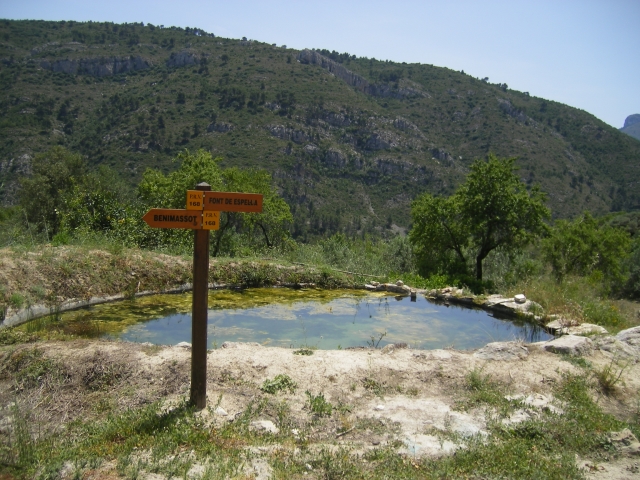
Other trails connecting with this trail