
PR-CV 182 FAGECA - PLA DE LA CASA
Promoter: Ayuntamiento de Fageca
Certification status: Positive quality control
2 reviews
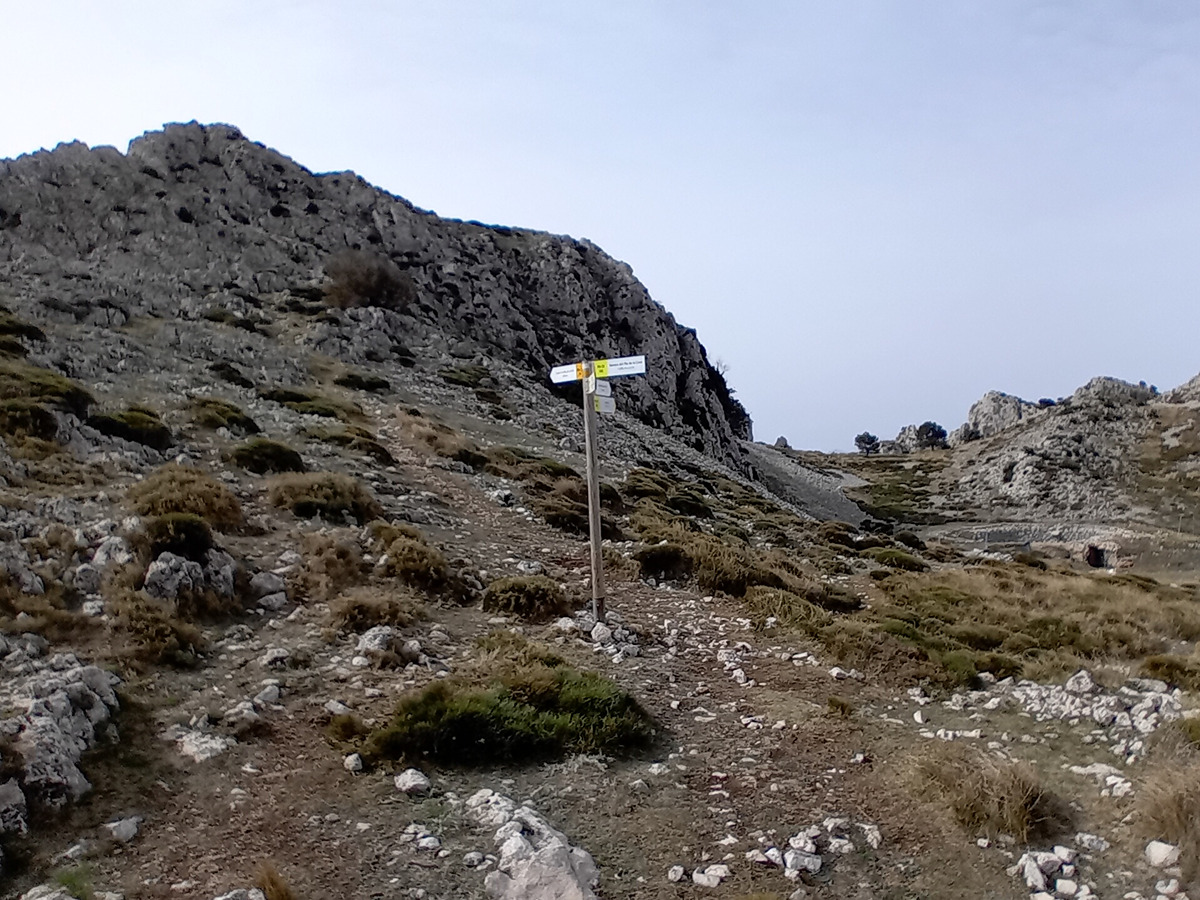
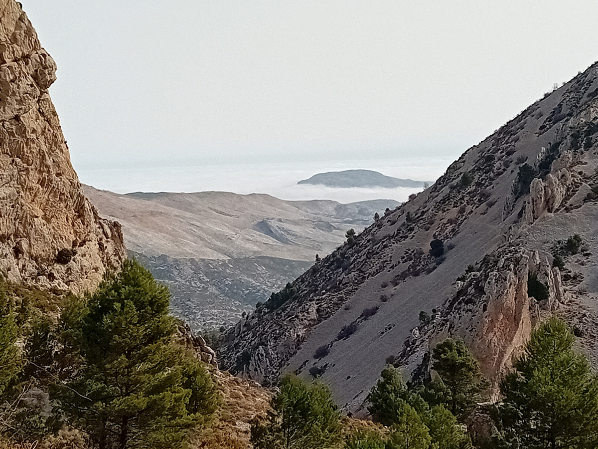
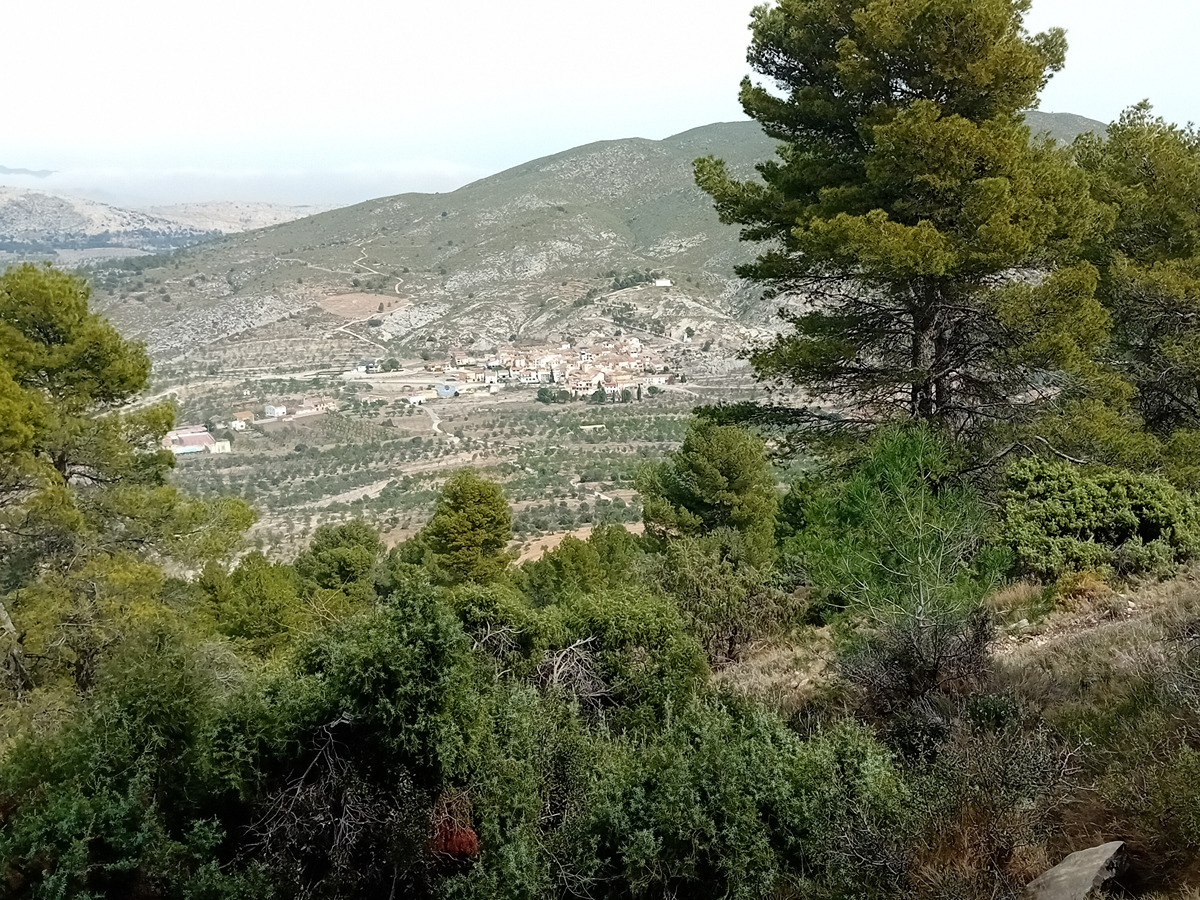
The Serrella is one of the most spectacular rock masses of the Alicante mountains. From the town of Fageca we will approach its summit and discover, in addition to its natural beauty, its historical heritage, the immense possibilities offered by this territory. The route skims the top of the mallada del Llop, pla de la Casa and the crag of Africa and returns to one of the most charming villages in the region of Comtat.
Trail:
Loop
Other trails connecting with this trail
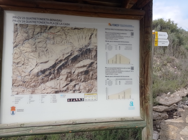
PR-CV 23 QUATRETONDETA - BENASAU
Promoter: Diputación de Alicante
Certification status: Positive quality control
Reference municipality: Quatretondeta
Length: 10,80 km
Estimated walking time: 03:55:00
Elevation gain: 625 m
Elevation loss: 555 m
(1)
PR-CV 24 QUATRETONDETA - PLA DE LA CASA
Promoter: Diputación de Alicante
Certification status: Positive quality control
Reference municipality: Quatretondeta
Length: 5,60 km
Estimated walking time: 02:40:00
Elevation gain: 765 m
Elevation loss: 35 m
(7)
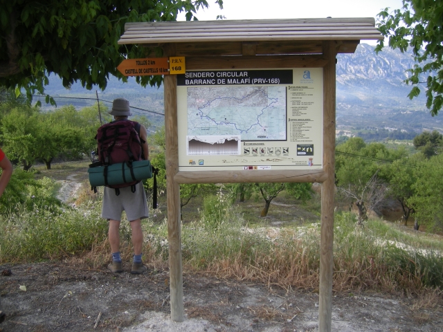
PR-CV 168 BENIMASSOT - BARRANC DE MALAFÍ - CASTELL DE CASTELLS - BENIMASSOT
Promoter: Diputación de Alicante
Certification status: No quality controls
Reference municipality: Benimassot
Length: 33,90 km
Estimated walking time: 10:55:00
Elevation gain: 1.165 m
Elevation loss: 1.165 m
(0)