
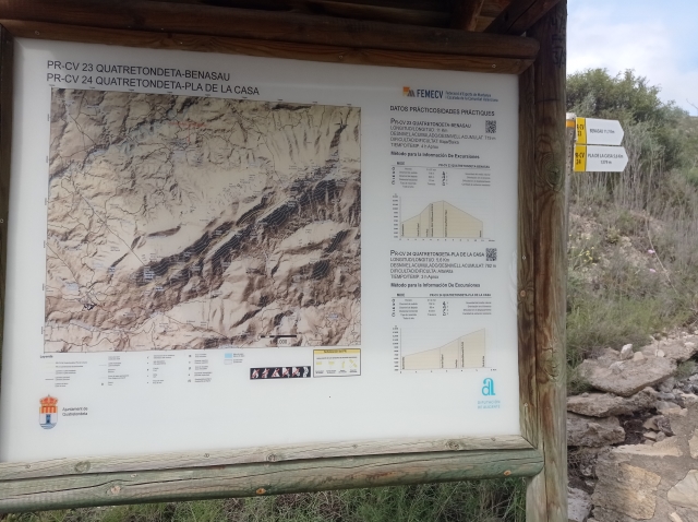

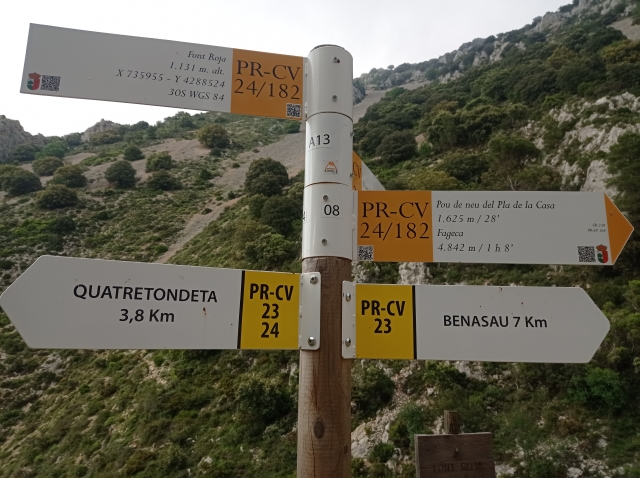
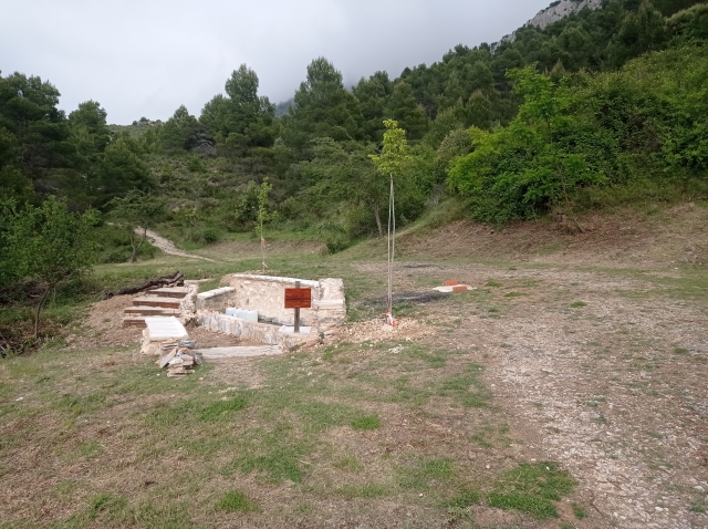
PR-CV 23 QUATRETONDETA - BENASAU
Promoter: Diputación de Alicante
Certification status: Positive quality control
1 review
Trail:
One way (point-to-point)
Other trails connecting with this trail
PR-CV 24 QUATRETONDETA - PLA DE LA CASA
Promoter: Diputación de Alicante
Certification status: Positive quality control
Reference municipality: Quatretondeta
Length: 5,60 km
Estimated walking time: 02:40:00
Elevation gain: 765 m
Elevation loss: 35 m
(7)
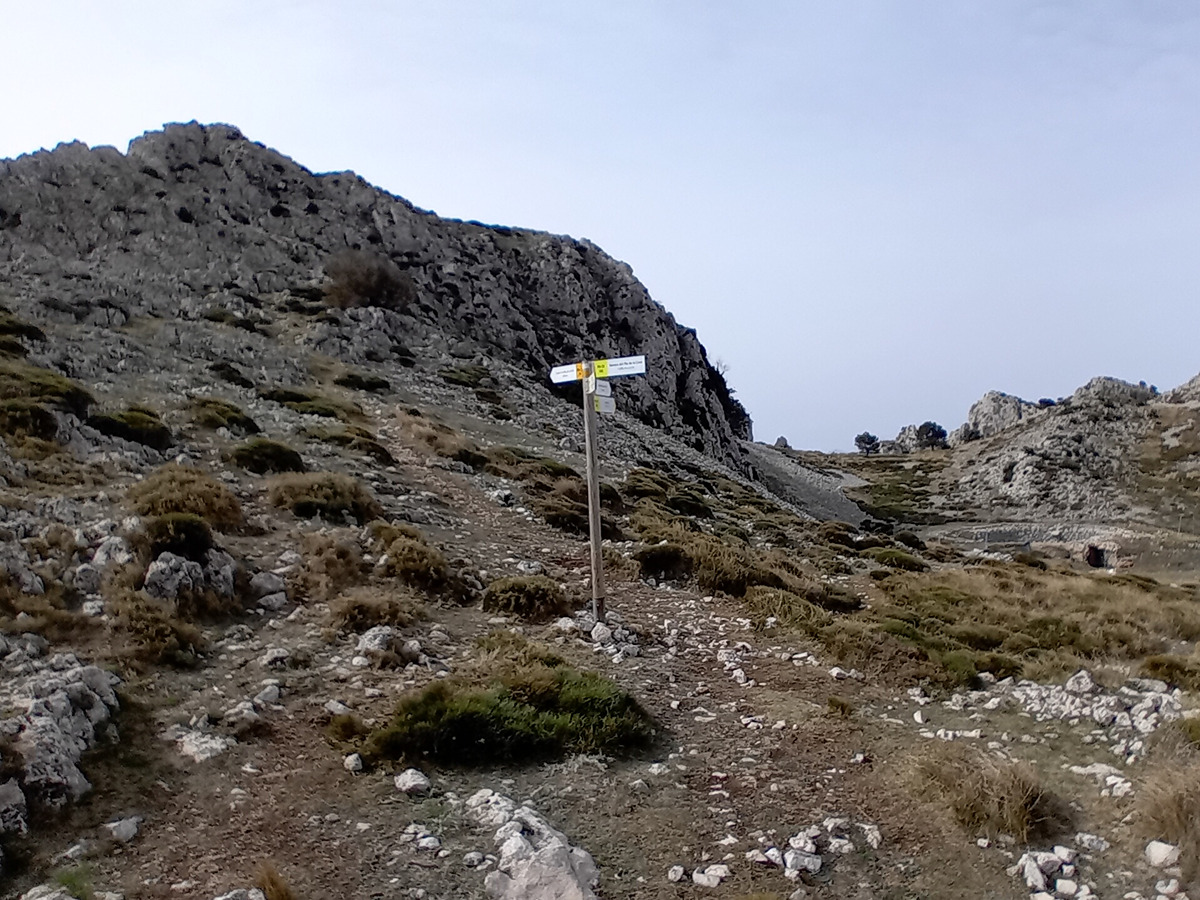
PR-CV 182 FAGECA - PLA DE LA CASA
Promoter: Ayuntamiento de Fageca
Certification status: Positive quality control
Reference municipality: Fageca
Length: 9,60 km
Estimated walking time: 04:45:00
Elevation gain: 750 m
Elevation loss: 750 m
(2)