
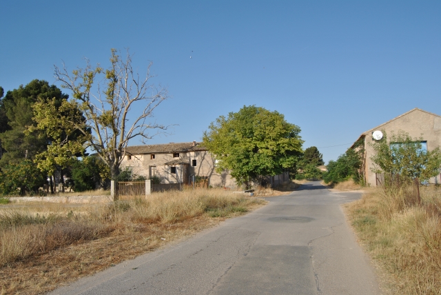
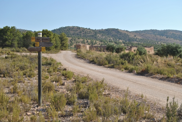
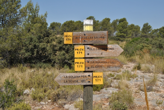
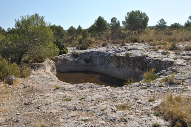
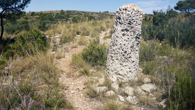
PR-CV 171 ELS CALDERONS
Promoter: Club de Montaña de Cañada
Certification status: Positive quality control
0 reviews
Trail:
Loop with some overlapping out and back sections
Other trails connecting with this trail
SL-CV 110 EL PASO DE LA VEREDA
Promoter: Club de Montaña de Cañada
Certification status: No quality controls
Reference municipality: Cañada
Length: 1,52 km
Estimated walking time: 00:30:00
(0)
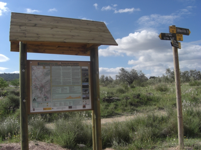
PR-CV 197 PUENTE DE LOS ESPEJOS - LA ENCINA - SANTA EULALIA - LAS VIRTUDES - LA ZAFRA
Promoter: Ayuntamiento de Villena
Certification status: No quality controls
Reference municipality: Villena
Length: 47,35 km
Estimated walking time: 15:00:00
(0)