PR-CV 175 LES RODANES
Promoter: Ayuntamiento de Vilamarxant
Certification status: Conditioned quality control
Following the inspection carried out by trail technicians, this trail has been declared of "limited adequacy" as a result of the faults detected in the signage. These include inadequate horizontal signs (paint markers) and/or vertical ones (trailheads and information boards) or lacking direction markers that do not provide sufficient information to properly follow the route. The builder of this trail has been informed of the situation.
For safety reasons and during maintenance work, it is advised to be extremely careful while taking this route. Furthermore, mountain sports entail risks associated with the activity itself and the environment where they take place, for which any person is fully liable. For this reason, hikes need to be planned properly and adequate training, equipment and sensible use of the trails are required.
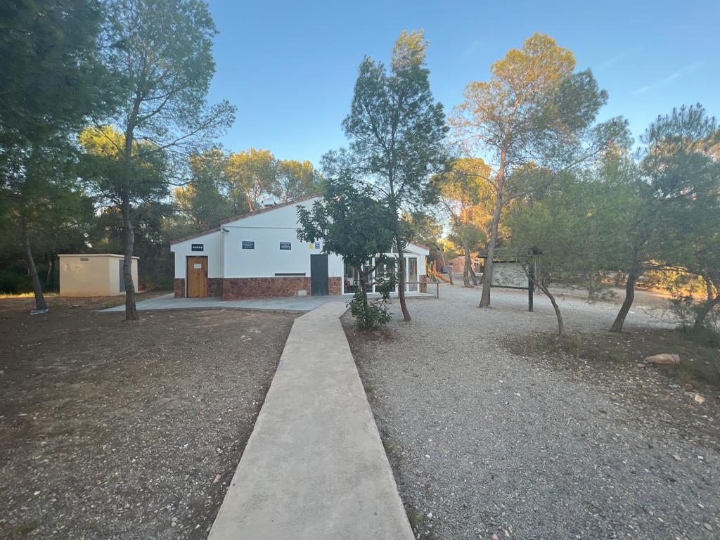
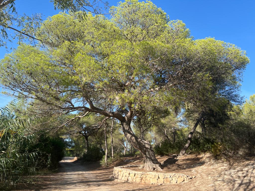
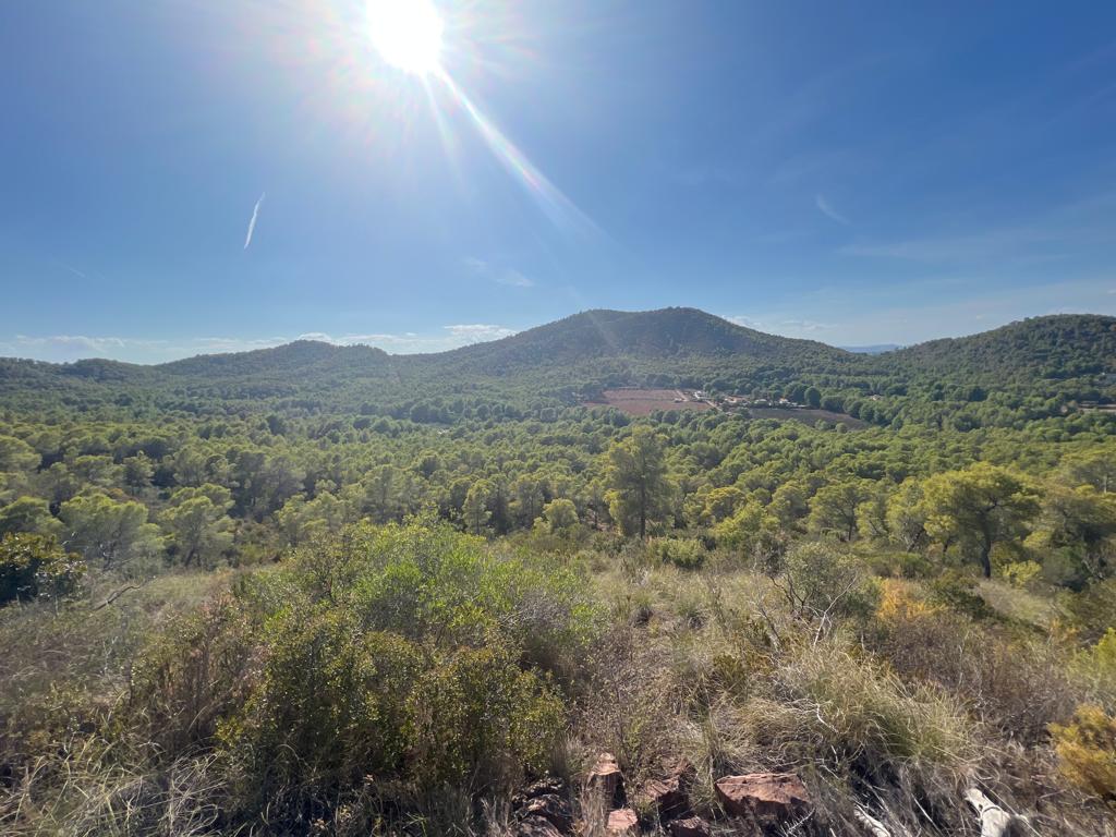
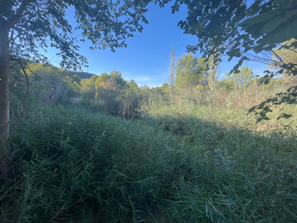
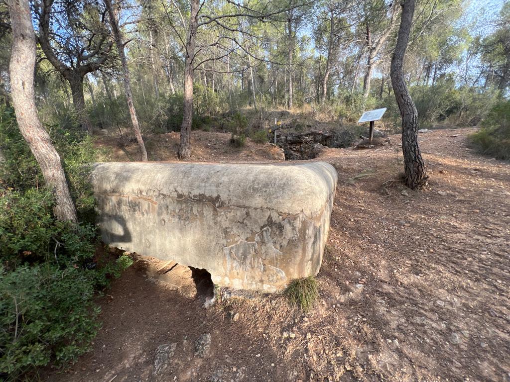
The trail runs through the Local Natural Area of Interest of les Rodanes, which is part of the Turia Natural Park and includes the ascent to Rodana Gran and Rodana del Pic. In addition, in the Bassa Barreta area, there is an adapted path that runs through an arboretum.
Alternative routes and routes leading to nearby points of interest
PR-CV 175.1 TRINCHERAS DE LA FERRAURA Y EL CLAU
Promoter: Ayuntamiento de Vilamarxant
Certification status: Conditioned quality control
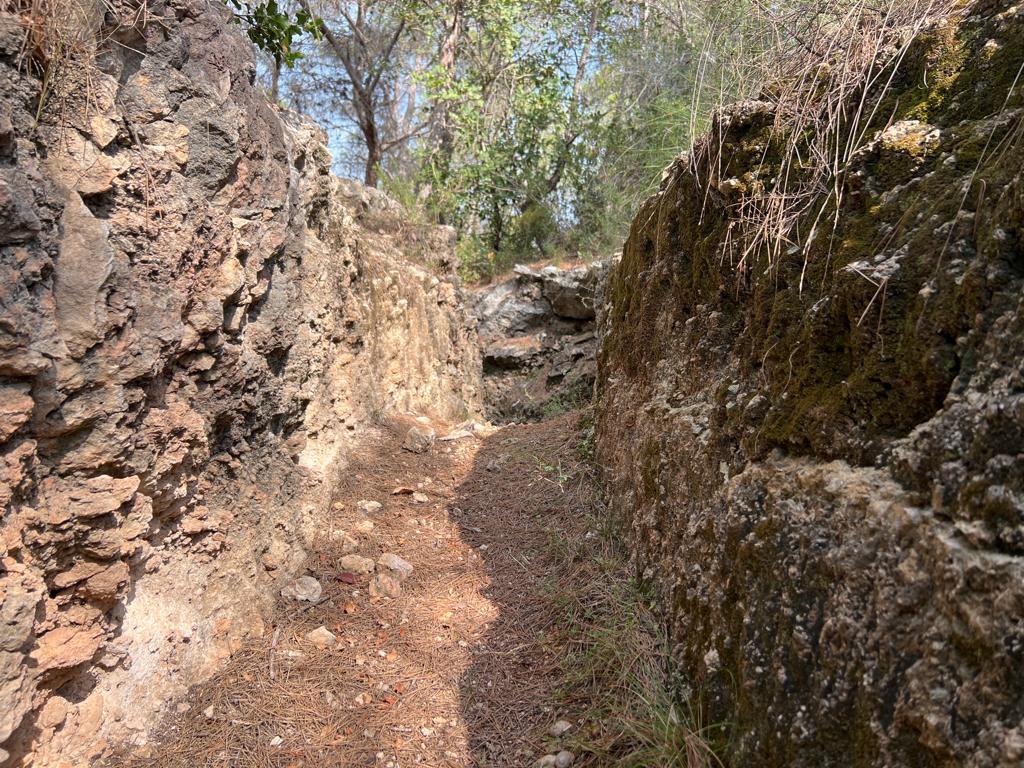
PR-CV 175.2 TRINCHERAS DE LA RODANETA BLANCA
Promoter: Ayuntamiento de Vilamarxant
Certification status: Conditioned quality control