Rate this trail

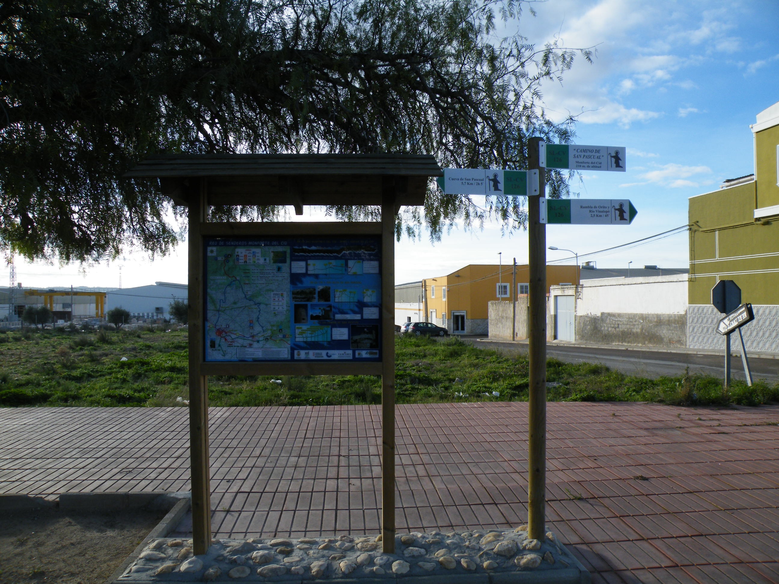
PR-CV 179.1 BAJADA DE LA RUTA DE SAN PASCUAL

Promoter: Ayuntamiento de Monforte del Cid

Certification status: Conditioned quality control

0 reviews

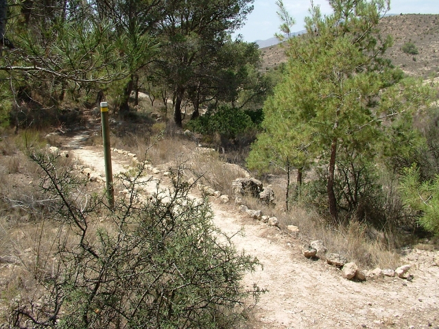
Following the inspection carried out by trail technicians, this trail has been declared of "limited adequacy" as a result of the faults detected in the signage. These include inadequate horizontal signs (paint markers) and/or vertical ones (trailheads and information boards) or lacking direction markers that do not provide sufficient information to properly follow the route. The builder of this trail has been informed of the situation.
For safety reasons and during maintenance work, it is advised to be extremely careful while taking this route. Furthermore, mountain sports entail risks associated with the activity itself and the environment where they take place, for which any person is fully liable. For this reason, hikes need to be planned properly and adequate training, equipment and sensible use of the trails are required.

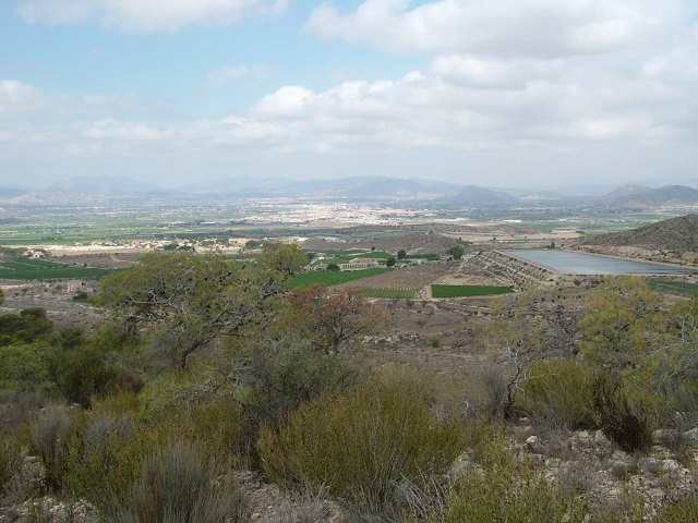
A route between two sections of the PR-CV 179, to lengthen it if we do it back and forth or to shorten it if we only do it one way. From its viewpoints you can see the coast of Alicante.

Trail:
One way (point-to-point)
Technical data:
Length:
1,80 km
Estimated walking time:
00:40:00
Elevation gain:
120 m
Elevation loss:
95 m
MIDE ratings:
Level of natural risks:
1
Navigation on the trail:
2
Hiking difficulty:
3
Fitness level needed:
1

More information on Montaña Segura

Difficulty rating according to FEDME:
Unknown
End Point:
Useful information:
Date of certification:
15-11-2002
Date of the act of registration in the Public Register:
22-05-2007
Date of the last Quality Control:
june de 2024
Reference municipality:
District:
Province:
Alicante/Alacant
Cartography IGN MTN25:
0871-4

Downloadable from the Catalogue of the IGN Map Library

See other trails of this promoter:
Protected Natural Spaces:

We advise you to look up the regulations and/or authorisations for using the trails in these conservation areas on the website of the Conselleria de Medio Ambiente, Agua, Infraestructuras y Territorio

  • SIerra de las Águilas y San Pascual (Municipal Natural Site)
Key points of the route:

Senda del Rincón de la Sena (path) - intersection of the PR-CV 179 variant - path leading up to cueva de San Pascual (cave)

Route description (only available in Spanish)

Desde la senda del Rincón de la Sena ascendemos y llegamos a una derivación que nos lleva a un mirador. Regresamos por la misma senda y en 30 metros encontramos otra derivación que coincide con el PR-CV 179 unos 100 m de ida y vuelta a un mirador. Tras bajar a una vaguada, la cruzamos y subimos por la otra ladera y en unos 300 m llegamos al final de esta variante.

Downloads:

Beware! Navigation devices may fail, batteries may run out of power and devices may break down. Do not use only electronic means to track your activities in the mountains; they must be used as a complement to the map and compass. Get some proper training and enjoy the mountains.

Other trails connecting with this trail