Rate this trail

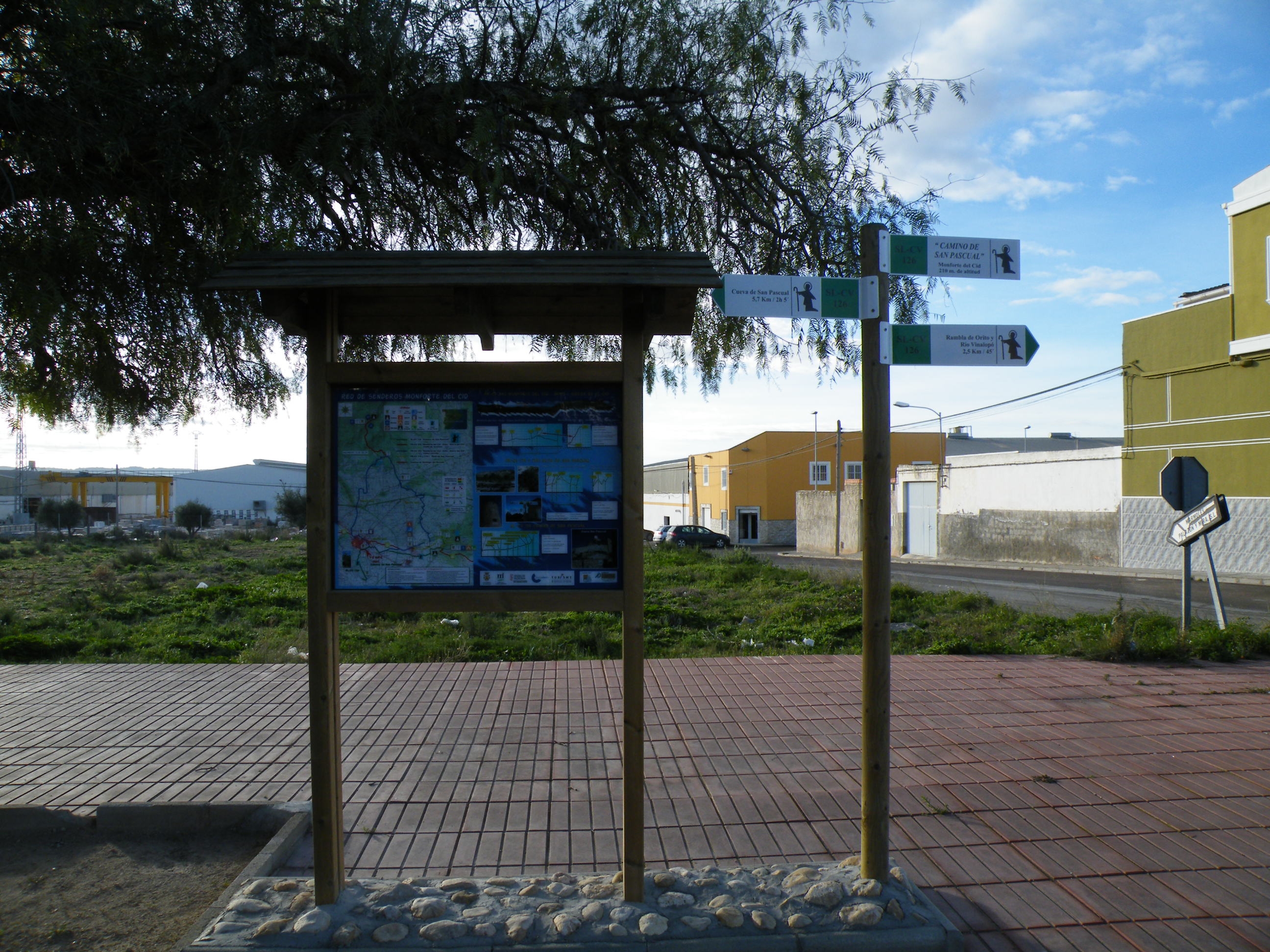
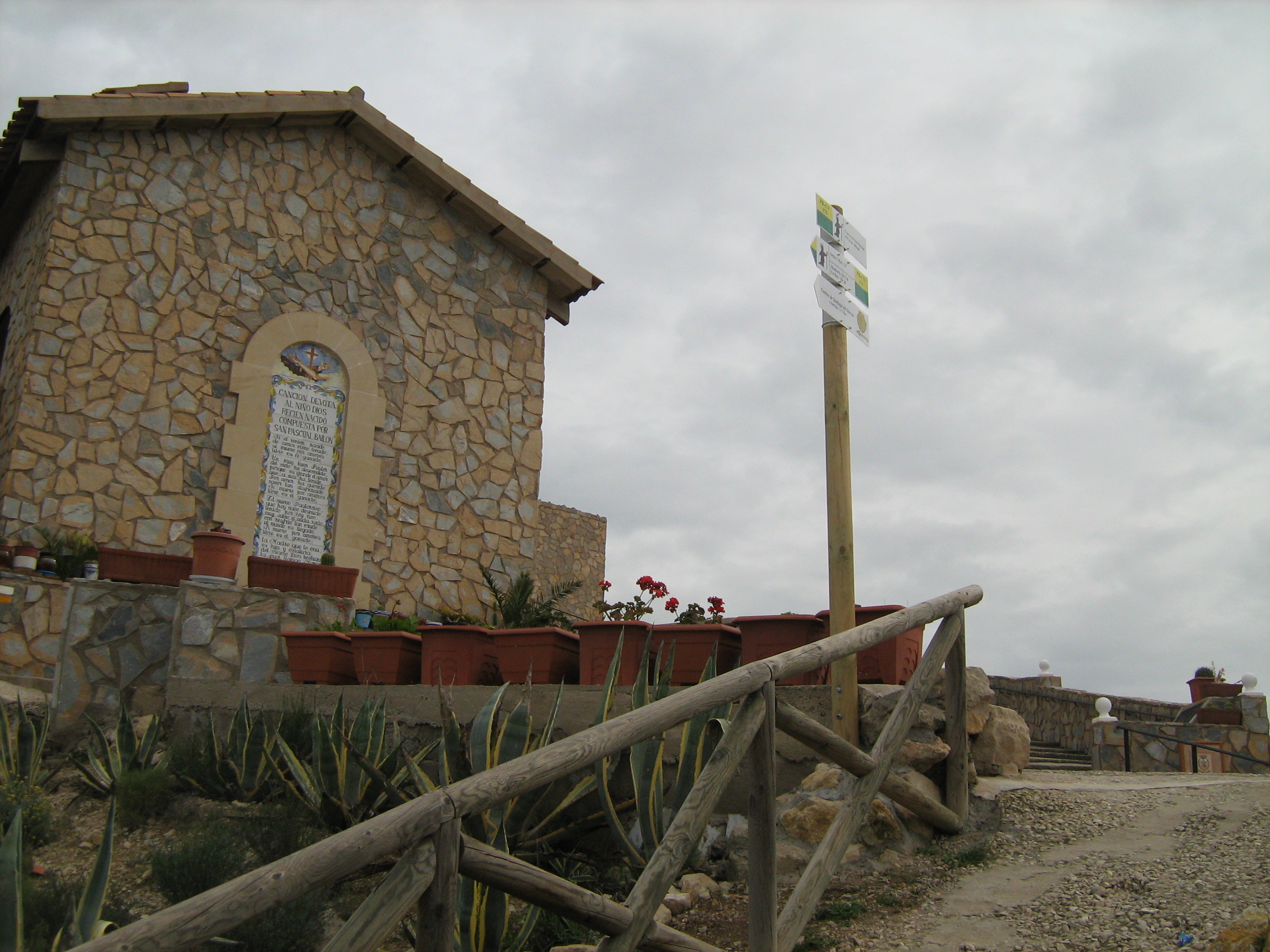
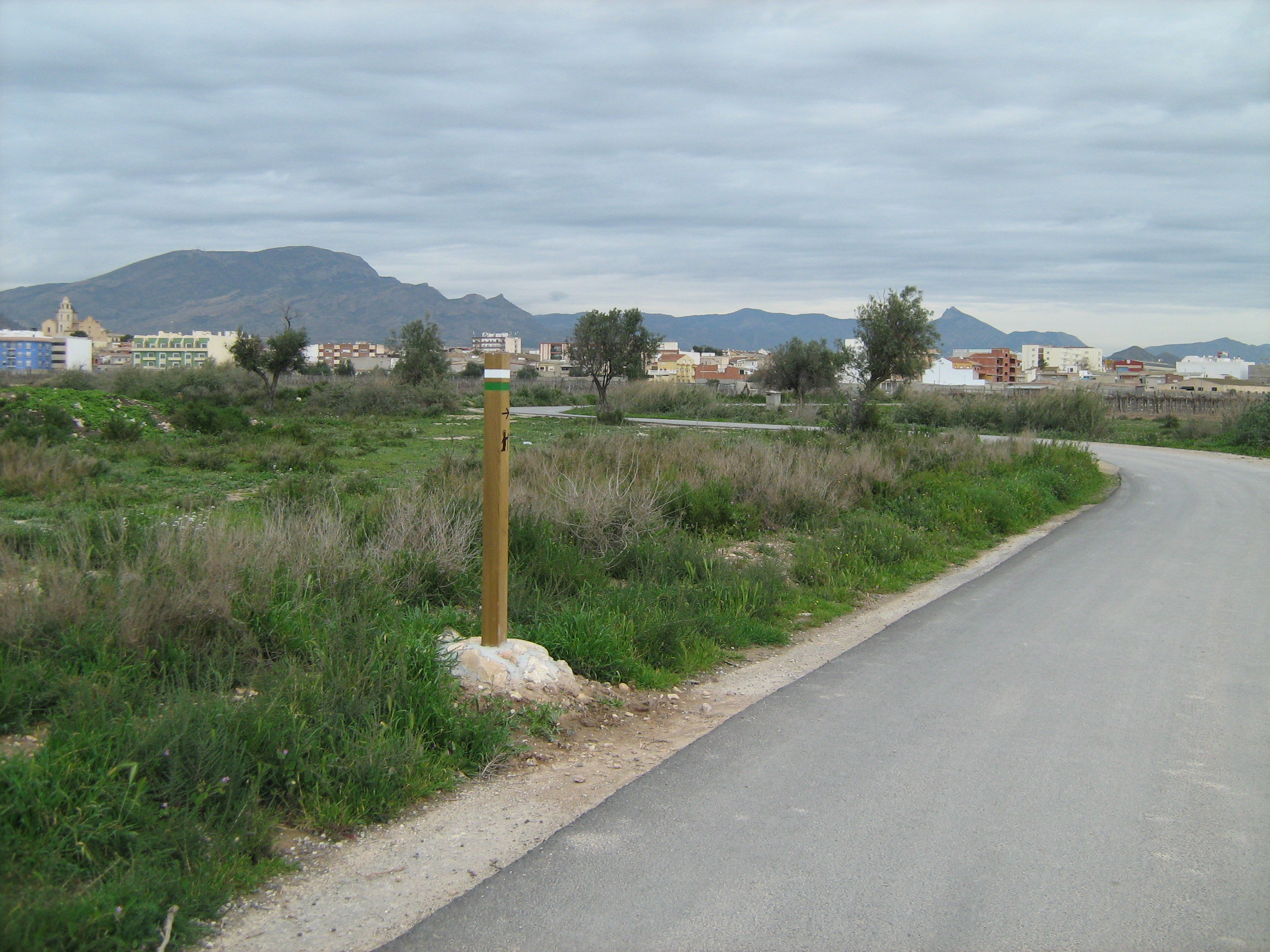
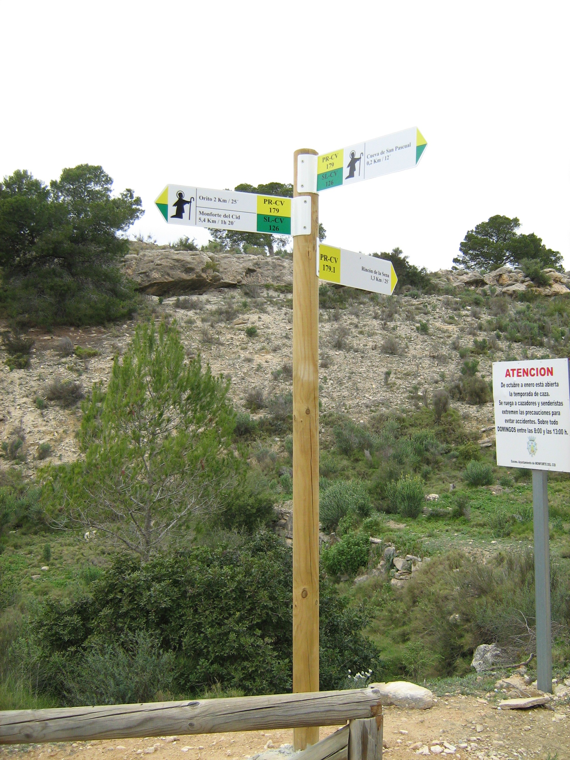
SL-CV 126 CAMINO DE SAN PASCUAL

Promoter: Ayuntamiento de Monforte del Cid

Certification status: Positive quality control

0 reviews

A traditional path that connects the Orito wadi with the San Pascual cave, where a traditional pilgrimage is held every year.

Trail:
One way (point-to-point)
Technical data:
Length:
8,70 km
Estimated walking time:
02:15:00
Elevation gain:
200 m
Elevation loss:
10 m
MIDE ratings:
Level of natural risks:
1
Navigation on the trail:
2
Hiking difficulty:
2
Fitness level needed:
2

More information on Montaña Segura

Difficulty rating according to FEDME:
Unknown
Useful information:
Date of certification:
14-03-2010
Date of the act of registration in the Public Register:
20-10-2015
Date of the last Quality Control:
august de 2019
Reference municipality:
District:
Province:
Alicante/Alacant
Cartography IGN MTN25:
0871-3; 0871-4

Downloadable from the Catalogue of the IGN Map Library

See other trails of this promoter:
Protected Natural Spaces:

We advise you to look up the regulations and/or authorisations for using the trails in these conservation areas on the website of the Conselleria de Medio Ambiente, Agua, Infraestructuras y Territorio

  • SIerra de las Águilas y San Pascual (Municipal Natural Site)
Key points of the route:

Monforte del Cid - PR-CV 342 intersection - PR-CV 179 intersection

Route description (only available in Spanish)

Desde la intersección de la 'Rambla de Orito con el Río Vinalopó, donde se inicia el sendero, subiremos por el 'Camino Agualejas', donde llegaremos al casco urbano de Monforte del Cid. Cruzaremos la localidad hasta llegar a la Avda de Alicante, que abandonaremos a los pocos metros, para tomar la Vereda del Pilar del Cid, uniéndose al PR-CV 342, cruzando la Rambla de Orito y el puente bajo la autovía A-31, la cual seguiremos en paralelo. Llegaremos a un cruce de caminos, donde cogeremos de la derecha (E), el cual recibe el nombre de 'Camino Hondo'. Tras cruzar la línea del  AVE  por un puente seguiremos por el mismo camino hasta llegar al cruce con la  carretera CV 831, donde tras cruzarla, continuaremos por la calle Julio Romero de Torres' hasta llegar a una rotonda, donde tomaremos el Camino subida de La Cueva' . Siguiendo este camino enlazaremos en el PR-CV 179 hasta llegar a una pequeña área recreativa, donde continuaremos por la derecha (E) por una pequeña senda hasta llegar a la Cueva de San Pascual, punto final del recorrido  

Downloads:

Beware! Navigation devices may fail, batteries may run out of power and devices may break down. Do not use only electronic means to track your activities in the mountains; they must be used as a complement to the map and compass. Get some proper training and enjoy the mountains.

Other trails connecting with this trail