Rate this trail

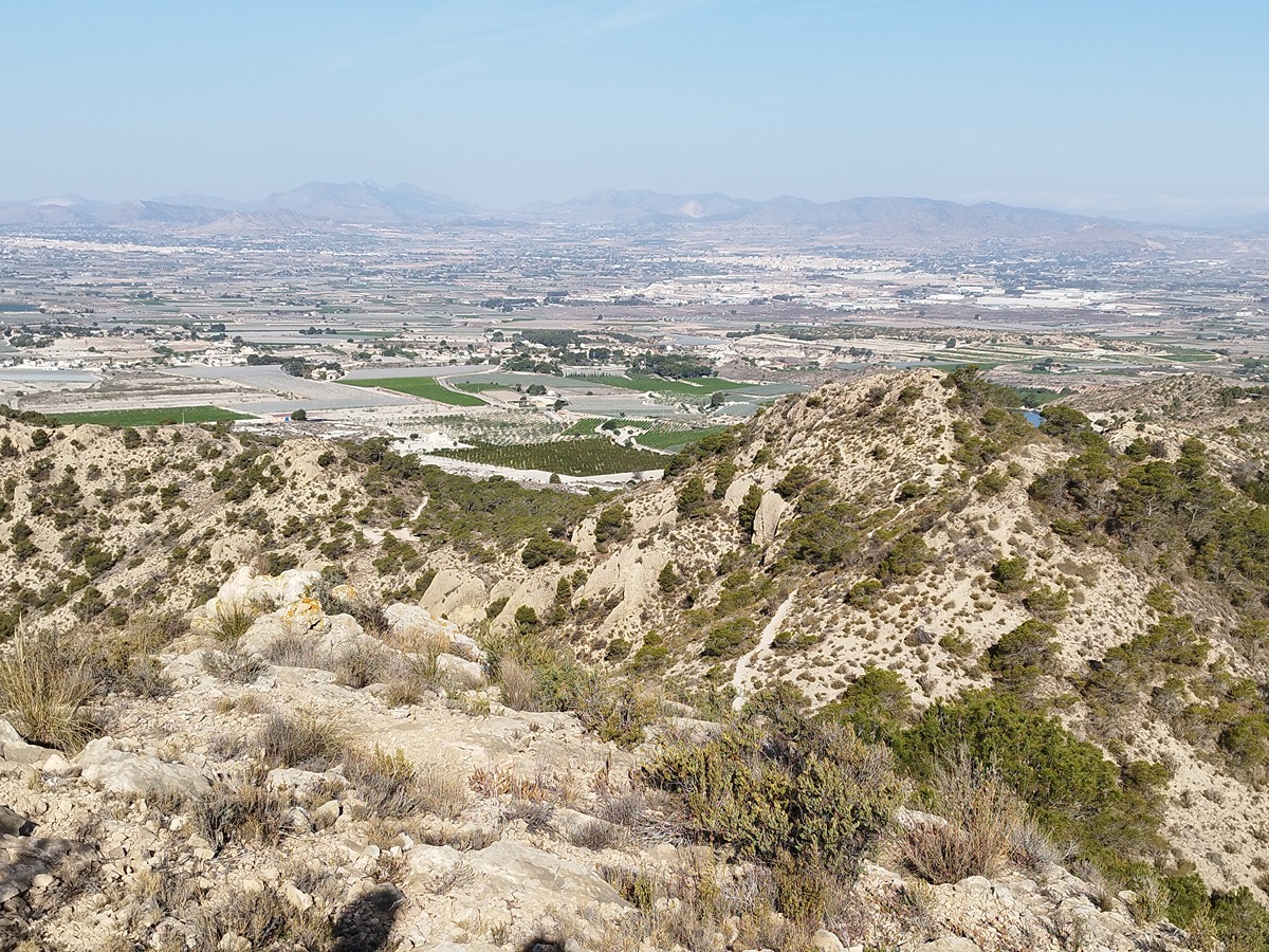
PR-CV 342 MONFORTE DEL CID - ORITO - SIERRA DE EL CID

Promoter: Ayuntamiento de Monforte del Cid

Certification status: No quality controls

0 reviews

There is no proof of quality control on the record of this trail in the last years. For this reason, it is unknown whether it complies with the optimal signage and maintenance conditions for hikers to take the trail following these signs exclusively.
Hikers have to take into consideration that the information about the signage and maintenance of the trails for which the promoter entity is responsible might not be up to date anymore, since it refers to its state on the date of its approval. Furthermore, mountain sports entail risks associated with the activity itself and the environment where they take place, for which any person is fully liable. For this reason, hikes need to be planned properly and adequate training, equipment and sensible use of the trails are required.

Trail:
Loop with some overlapping out and back sections
Technical data:
Length:
27,12 km
Estimated walking time:
12:50:00
Elevation gain:
Unknown
Elevation loss:
Unknown
MIDE ratings:
Level of natural risks:
Unknown
Navigation on the trail:
Unknown
Hiking difficulty:
Unknown
Fitness level needed:
Unknown

More information on Montaña Segura

Difficulty rating according to FEDME:
Unknown
Starting point:
Parque Torre de la Noria
Useful information:
Date of certification:
15-05-2008
Date of the act of registration in the Public Register:
20-10-2015
Reference municipality:
District:
Province:
Alicante/Alacant
Cartography IGN MTN25:

Downloadable from the Catalogue of the IGN Map Library

See other trails of this promoter:
Key points of the route:

Monforte del Cid, park and tower - Ermita de San Pascual (chapel) - Plaza de Orito (square) - Albergue Municipal (refuge), PR-CV 179 connection - Collao Candela (col) - Laderas Gil Martínez (mountain side) - Pozo Blanco (well) - Path and coll intersection - Ascent to El Cid, Barranco el besó (ravine) - Los Llanos de le Cid - Cumbre de el Cid (summit) - Los llanos de el Cid - Barranco del bes (ravine) - Roads and pass intersection - Ascent to el Cid - Barranco el bes (ravine) - reservoirs of el Cid - Camino de las cuevas de los Hombretones (path), rambla del Bonitol (wadi) - old bridge and intersection with CV 820 road - Jorge Juan roundabout - Monforte del Cid - Park and tower

Route description (only available in Spanish)

Salida del Parque Torre de la Noria en Monforte (218 m). Se dirige hacía Orito por la Cañada Real, pasando por debajo de la Autovía Alicante-Madrid, coincidiendo un tramo con el Camino de Santiago. Alcanzamos el Camino de la Noria de D. Juan, por caminos asfaltados, hasta llegar a la Ermita de la Aparición y a continuación a Orito (250 m). Panel informativo.
Continúa el sendero por camino asfaltado entre campos de viñas hasta la Ermita de San Pascual. Sigue el camino a la izquierda, dirección al Cid, cruzando una rambla de arcilla hasta el Collado Candela (cruce de caminos). Continua recto dejando a la izquierda una balsa. Después continúa por el Camino La Hermosa entre balsas de riego y plantaciones invernadero de viñas. Este camino es de tierra durante 300 metros. Continúa por camino asfaltado entre bancales hasta un cruce (Casa Venty). Por camino de tierra se alcanza las obras del AVE, donde provisionalmente cruza la obra por la vereda del Fraile (ojo, cruce de vía férrea). Continúa la vereda por un camino de tierra hasta la carretera de Monforte - Pozoblanco. Sigue el asfalto durante 50 m. Y toma a la izquierda un sendero hasta la carretera CV-820 (Rotonda). El sendero llega a Pozoblanco (312 m), panel informativo. Continúa ascendiendo por asfalto durante 50 m., después por camino de tierra entre bancales abandonados, hasta el cruce a la Cumbre del Cid (Poste Indicador, derivación a la cumbre). Al principio la subida es por camino montuoso y pinar joven, enseguida cruza el Barracon del Besó, para continuar por una empinada senda hasta el Colla de la Cumbre del Cid (Panel Informativo y Poste Indicador). Desde aquí a cumbre enlaza con el sendero PR-CV 325.
Cumbre del Cid (1.127 m) desde la cumbre, el sendero desciende por el mismo recorrido hasta el Cruce de la Derivación. Continua el descenso por camino entre grandes balsas de riego, más adelante el camino es asfaltado y sigue en descenso zig-zagueante entre olivos y viñedos abandonados a veces por camino de tierra y otras asfaltado hasta la Vereda de Castilla, por donde llegamos cruzando la Ramba de Bonitol hasta las obras del AVE.
Pasamos bajo los puentes (provisional) hasta el cruce de la carretera CV-820 (Rotonda). Continuamos por vía pecuaría nº 4 hacía Monforte, cruzando la autovía Alicante-Madrid, por puente elevado. Poco después llegamos a la rotonda Jorge Juan y por la Avenida del mismo nombre llegamos a la C/Jaime I, y desde aquí al Parque Torre de la Noria, punto y final de recorrido.
 

Downloads:

Beware! Navigation devices may fail, batteries may run out of power and devices may break down. Do not use only electronic means to track your activities in the mountains; they must be used as a complement to the map and compass. Get some proper training and enjoy the mountains.

Other trails connecting with this trail