Rate this trail

PR-CV 180 LA ALGÜEDA

Promoter: Ayuntamiento de Albatera

Certification status: Positive quality control

0 reviews

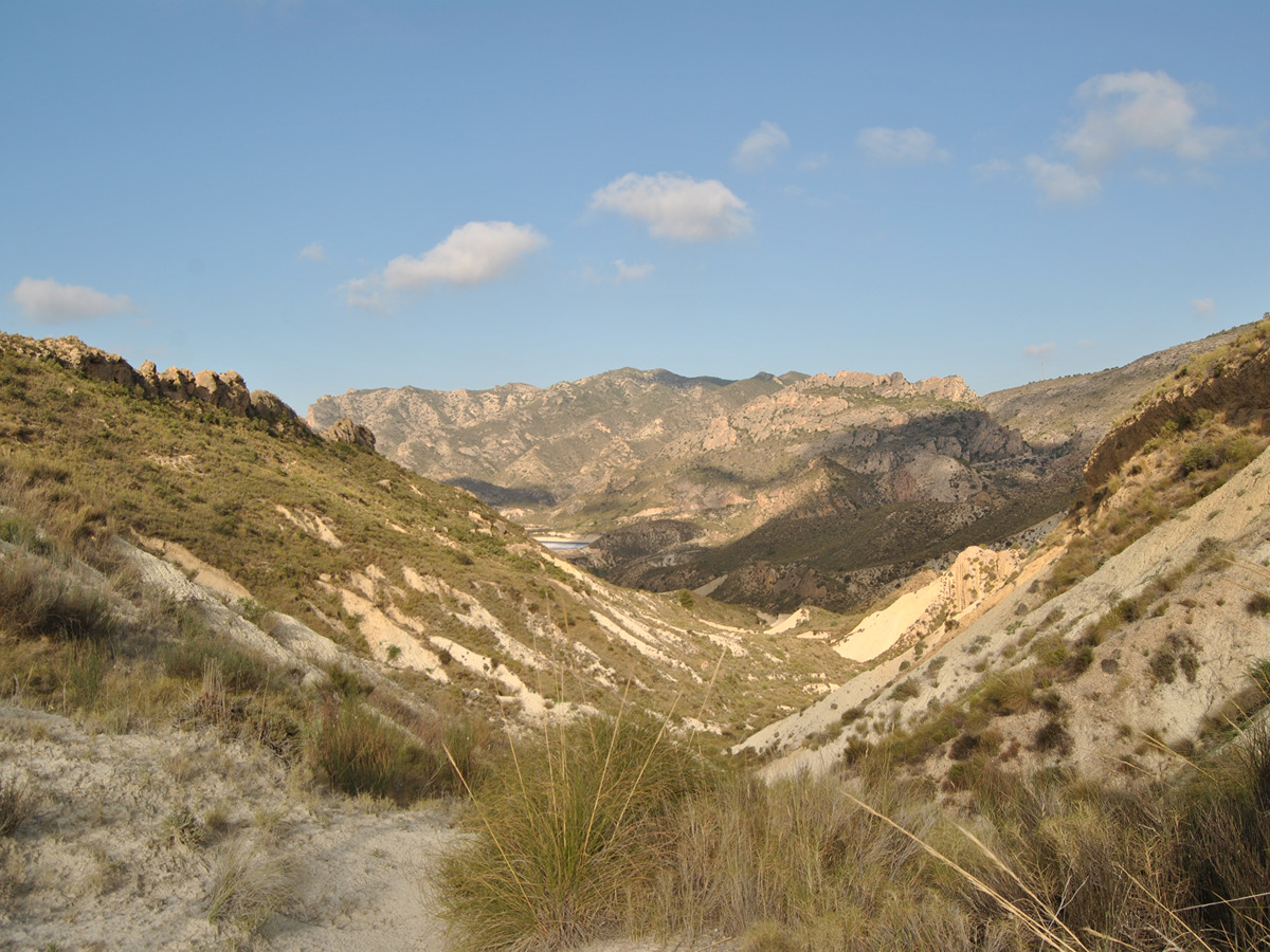
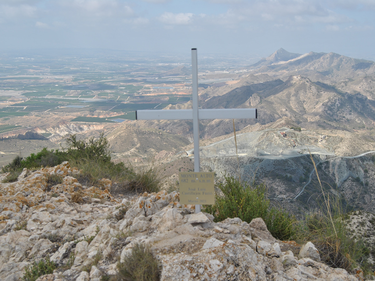
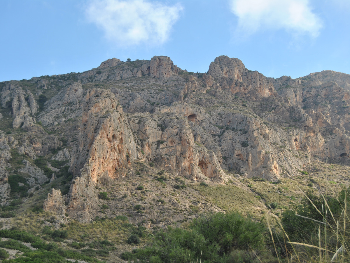
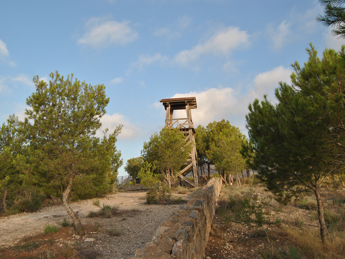
We will walk through the Algüeda range from the Virgen del Rosario Mountain Park along the road of San Cayetano to climb to the same peak. We can also climb the Monte Alto (692m) to reach Las Ventanas to return in an easterly direction bordering crop fields and wadis to reach the Mountain Park again.

Trail:
Loop
Technical data:
Length:
20,80 km
Estimated walking time:
07:05:00
Elevation gain:
910 m
Elevation loss:
910 m
MIDE ratings:
Level of natural risks:
2
Navigation on the trail:
2
Hiking difficulty:
3
Fitness level needed:
4

More information on Montaña Segura

Difficulty rating according to FEDME:
Unknown
Useful information:
Date of certification:
15-11-2000
Date of the act of registration in the Public Register:
22-05-2007
Date of the last Quality Control:
august de 2023
Reference municipality:
Otros municipios por los que transcurre:
Province:
Alicante/Alacant
Cartography IGN MTN25:
0892-2; 0892-4

Downloadable from the Catalogue of the IGN Map Library

See other trails of this promoter:
Protected Natural Spaces:

We advise you to look up the regulations and/or authorisations for using the trails in these conservation areas on the website of the Conselleria de Medio Ambiente, Agua, Infraestructuras y Territorio

  • Rambla de las Ventanas (Flora Micro-reserve)
  • Serra de Crevillent (SIC - Site of Community Interest)
  • Serres del Sud d'Alacant (SPAB - Special Protection Area for Birds)
  • Sierra de Crevillent (SAC - Special Area of Conservation)
Key points of the route:

Virgen del Rosario Mountain park - Camino de San Cayetano (path) - Paso de las Yeguas (pass) - Bifurcation to San Cayetano - Cueva de Jaime 'El Barbudo' (cave) - Corral del Sastre (cave) - Monte Alto (peak) – Collado (col) - Las Ventanas - Barranco de los Ligeros (ravine) - Virgen del Rosario Mountain park

Route description (only available in Spanish)

Cruzaremos el parque en busca de la gran balsa y torre situadas en la parte superior, desde ahí bajaremos a las antiguas casetas para buscar el barranco que nos llevará dirección al camino de San Cayetano. Siguiendo un poco el camino, dirección norte, encontraremos una bifurcación a mano izquierda que, por un sendero muy bonito, nos depositará en el paso de las Yeguas, paso estrecho y picado para el paso de caballerías.

Desde este punto, subiremos al collado donde enlaza el PR-CV 180.1, y que bajaría al nacimiento de los Suizos. Nosotros subiremos ligeramente hacia el norte para luego ir llaneando, con pequeños ascensos, hacia el noroeste, dirección al barranco que sube a San Cayetano.

Siguiendo hacia el oeste, llegaremos al collado de la Algüeda. Seguimos por la antigua pista que nos llevará dirección a la cueva de Jaime El barbudo. Desde la cueva, seguiremos hacia el suroeste, para llegar al puerto de Albatera, y al corral del Sastre, punto donde se enlaza el PR-CV 255.

Continuaremos por la pista de tierra que va hacia la izquierda, en alguna ocasión en fuerte subida, hasta llegar al collado desde donde se sube al monte Alto, cota de 692 msnm, con tramos de subida y bajada.

De vuelta al collado, continuaremos hacia el suroeste para alcanzar un pequeño colladito que, por su vertiente norte, baja de manera directa a buscar el camino y barranco de las Ventanas. En fuerte descenso primero, y luego con un amplio tramo de sube y baja, llegaremos, pasando por una zona de pozos, hasta el camino de las Ventana.

Desde aquí, por pistas de tierra, llegaremos al barranco de los Tiesos por donde baja el sendero. Se seguirá todo el cauce, evitando las zonas con agua, cruzar la carretera por debajo para acceder a la rambla de la Algüeda para, de nuevo por pistas, llegar otra vez al Parque de Montaña.

Downloads:

Beware! Navigation devices may fail, batteries may run out of power and devices may break down. Do not use only electronic means to track your activities in the mountains; they must be used as a complement to the map and compass. Get some proper training and enjoy the mountains.

Comments:

Alternative routes and routes leading to nearby points of interest

Other trails connecting with this trail
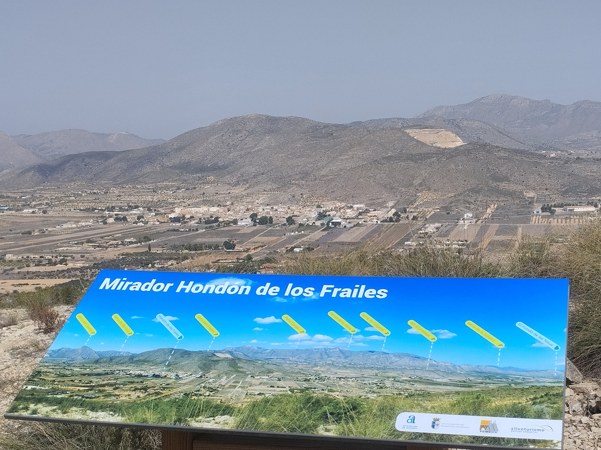