Rate this trail

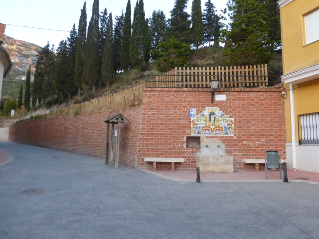
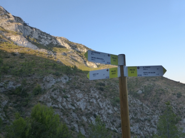
PR-CV 213.1 BENIATJAR - LES FONTETES

Promoter: Ayuntamiento de Beniatjar y de Ráfol de Salem

Certification status: Positive quality control

1 review

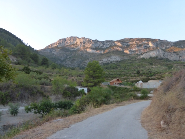
This trail takes you from the town of Beniatjar, along the old Benicadell path, to the Fontetes recreational area and is connected to the PR-CV 213 trail.

Trail:
One way (point-to-point)
Technical data:
Length:
1,60 km
Estimated walking time:
00:45:00
Elevation gain:
285 m
Elevation loss:
5 m
MIDE ratings:
Level of natural risks:
2
Navigation on the trail:
2
Hiking difficulty:
3
Fitness level needed:
2

More information on Montaña Segura

Difficulty rating according to FEDME:
Unknown
Useful information:
Date of certification:
15-03-2001
Date of the act of registration in the Public Register:
22-05-2007
Date of the last Quality Control:
december de 2023
Reference municipality:
District:
Province:
Valencia/València
Cartography IGN MTN25:
0795-3

Downloadable from the Catalogue of the IGN Map Library

See other trails of this promoter:
Protected Natural Spaces:

We advise you to look up the regulations and/or authorisations for using the trails in these conservation areas on the website of the Conselleria de Medio Ambiente, Agua, Infraestructuras y Territorio

  • Umbría del Benicadell (Protected Landscape)
Key points of the route:

Beniatjar - Les Fontetes recreation area

Route description (only available in Spanish)

Desde la entrada de Beniatjar tomamos la calle Maestro Ballester y el camino de la Sierra que asciende paralelo al Barranco del Benicadell. Nada más cruzarlo, giramos a la derecha por una senda que nos conduce directamente al área recreativa de les Fontetes.

Downloads:

Beware! Navigation devices may fail, batteries may run out of power and devices may break down. Do not use only electronic means to track your activities in the mountains; they must be used as a complement to the map and compass. Get some proper training and enjoy the mountains.

Other trails connecting with this trail
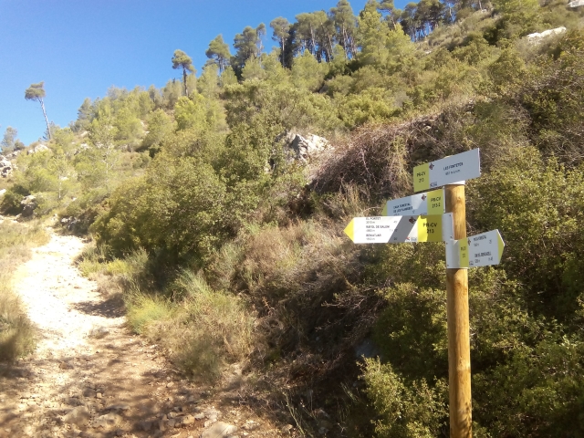