Rate this trail

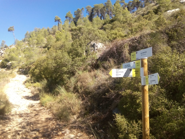
PR-CV 213.2 CASA FORESTAL DE LES PLANISSES - LES FONTETES

Promoter: Ayuntamiento de Beniatjar y de Ráfol de Salem

Certification status: Positive quality control

1 review

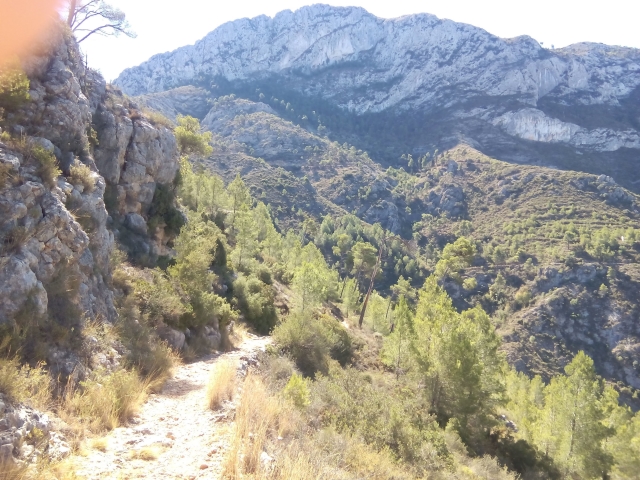
A very short stretch that connects the Planisses forest house with the Fontetes recreational area.

Trail:
One way (point-to-point)
Technical data:
Length:
0,50 km
Estimated walking time:
00:10:00
Elevation gain:
0 m
Elevation loss:
30 m
MIDE ratings:
Level of natural risks:
1
Navigation on the trail:
2
Hiking difficulty:
2
Fitness level needed:
2

More information on Montaña Segura

Difficulty rating according to FEDME:
Unknown
Useful information:
Date of certification:
15-03-2001
Date of the act of registration in the Public Register:
22-05-2007
Date of the last Quality Control:
december de 2023
Reference municipality:
District:
Province:
Valencia/València
Cartography IGN MTN25:
0795-3

Downloadable from the Catalogue of the IGN Map Library

See other trails of this promoter:
Protected Natural Spaces:

We advise you to look up the regulations and/or authorisations for using the trails in these conservation areas on the website of the Conselleria de Medio Ambiente, Agua, Infraestructuras y Territorio

  • Umbría del Benicadell (Protected Landscape)
Key points of the route:

Casa forestal de les Planisses (forester’s house) - Les Fontetes recreation area

Route description (only available in Spanish)

Por detrás de la casa forestal tomamos una senda que en un tramo muy corto nos conduce al área recreativa de les Fontetes.

Downloads:

Beware! Navigation devices may fail, batteries may run out of power and devices may break down. Do not use only electronic means to track your activities in the mountains; they must be used as a complement to the map and compass. Get some proper training and enjoy the mountains.

Other trails connecting with this trail