Rate this trail

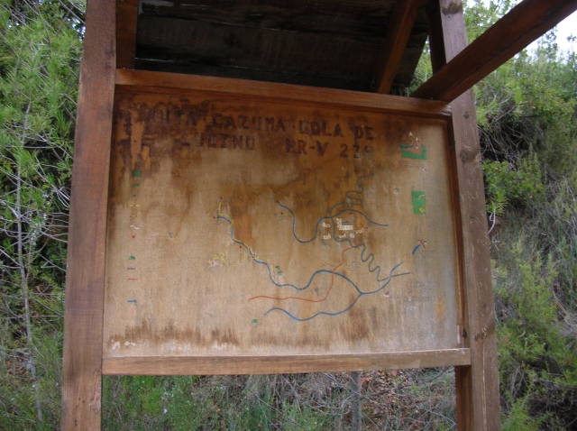
PR-CV 234 CAZUMA - GOLA DE LUCINO

Promoter: Asociación Macizo del Caroig

Certification status: Conditioned quality control

0 reviews

Following the inspection carried out by trail technicians, this trail has been declared of "limited adequacy" as a result of the faults detected in the signage. These include inadequate horizontal signs (paint markers) and/or vertical ones (trailheads and information boards) or lacking direction markers that do not provide sufficient information to properly follow the route. The builder of this trail has been informed of the situation.
For safety reasons and during maintenance work, it is advised to be extremely careful while taking this route. Furthermore, mountain sports entail risks associated with the activity itself and the environment where they take place, for which any person is fully liable. For this reason, hikes need to be planned properly and adequate training, equipment and sensible use of the trails are required.

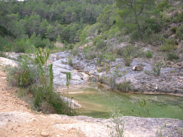
A route that brings together three points of interest: The cultural, with the cave of La Araña and its cave paintings; the geological, at Gola Lucino, where the water has carved out a beautiful gorge; and the recreational-sportive, along Rambla de los Lidoneros, where you can have fun swimming in Charco de los Morteros or Azud de los Moros.

Trail:
Loop with some overlapping out and back sections
Technical data:
Length:
9,00 km
Estimated walking time:
03:15:00
Elevation gain:
360 m
Elevation loss:
360 m
MIDE ratings:
Level of natural risks:
2
Navigation on the trail:
2
Hiking difficulty:
3
Fitness level needed:
3

More information on Montaña Segura

Difficulty rating according to FEDME:
Unknown
Useful information:
Date of certification:
15-02-2002
Date of the act of registration in the Public Register:
22-05-2007
Date of the last Quality Control:
september de 2022
Reference municipality:
Province:
Valencia/València
Cartography IGN MTN25:
0768-2; 0769-1

Downloadable from the Catalogue of the IGN Map Library

See other trails of this promoter:
Protected Natural Spaces:

We advise you to look up the regulations and/or authorisations for using the trails in these conservation areas on the website of the Conselleria de Medio Ambiente, Agua, Infraestructuras y Territorio

  • Sierra de Martés - Muela de Cortes (SPAB - Special Protection Area for Birds)
  • Sierra de Martés y el Ave (SIC - Site of Community Interest)
  • Sierras de Martés y el Ave (SAC - Special Area of Conservation)
Key points of the route:

Cazuma River - Azud de los Moros (weir) - Salto de la Rebolla viewpoint - Cueva de la Araña (cave) - Gola de Lucino (gorge) - Charco de los Morteros (natural pool) - Azud de los Moros (weir) - Cazuma River

Route description (only available in Spanish)

El inicio del sendero se encuentra en la zona de Cazuma, cruce con la pista de la cueva de la Araña a los pies del Peñón de la Peseta. Enseguida tenemos el cruce de una variante. Contunuamos por la pista hasta el azud de los Moros. En el azud tenemos otro cruce con una senda, tomaremos dirección a la cueva de la Araña continuando por la pista. Pasaremos por otro cruce que nos indica a la cueva Rebolla. Continuamos por la pista hasta el cruce que nos da opción de ir a la cueva o ir a la Gola de Lucino en la zona de la casa de Pepe el Sillero. Tomamos dirección a la cueva en un tramo de ida y vuelta, siguiendo la pista con una fuerte pendiente hasta el mirador de la Rebolla. Desde ahí continuamos por senda hasta la cueva de la Araña. Para visitarla hay que concertar la visita con el ecomuseo de Bicorp. Volvemos al cruce anterior y tomamos dirección a la Gola de Lucino, pasamos por un cruce que indica al charco de los Morteros que ignoramos. La pista finaliza en el nacimiento del río Cazuma, donde hay una caseta para la toma de agua potable del pueblo. Nos encontramos en la rambla de los Lidoneros i por senda continuamos la rambla hasta llegar a la Gola de Lucino. Una bonita garganta cerrada por una pared infranqueable. Volvemos sobre nuestros pasos hasta el cruce con el charco de los Morteros, donde tomamos dirección al bonito Charco por una senda que nos llevara hasta el azud de los Moros. Desde donde regresaremos al inicio.

Downloads:

Beware! Navigation devices may fail, batteries may run out of power and devices may break down. Do not use only electronic means to track your activities in the mountains; they must be used as a complement to the map and compass. Get some proper training and enjoy the mountains.

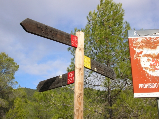
Other trails connecting with this trail