
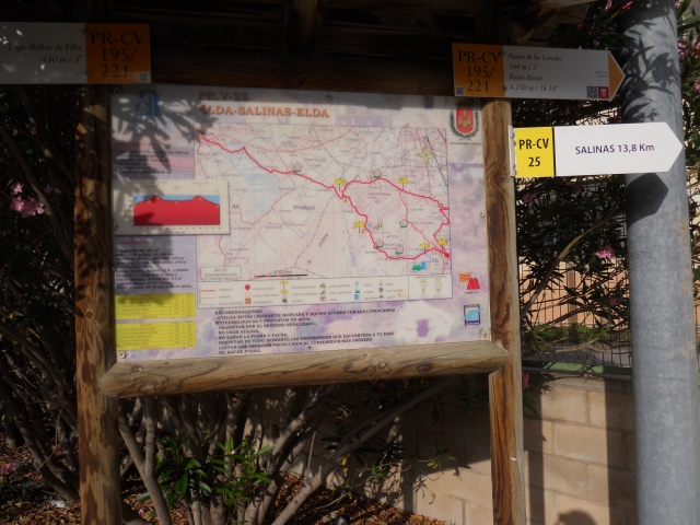
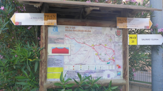
PR-CV 25 ELDA - SALINAS - ELDA
Promoter: Diputación de Alicante
Certification status: Positive quality control
0 reviews
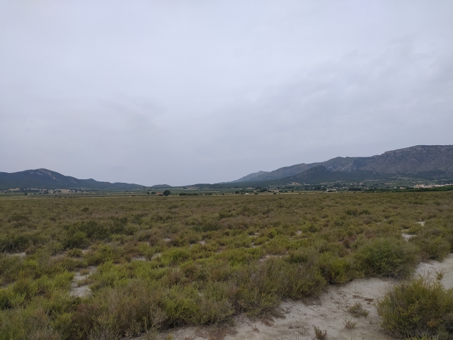
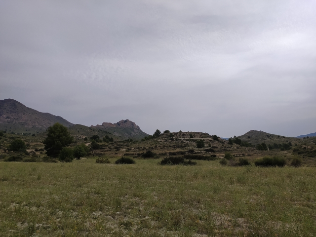
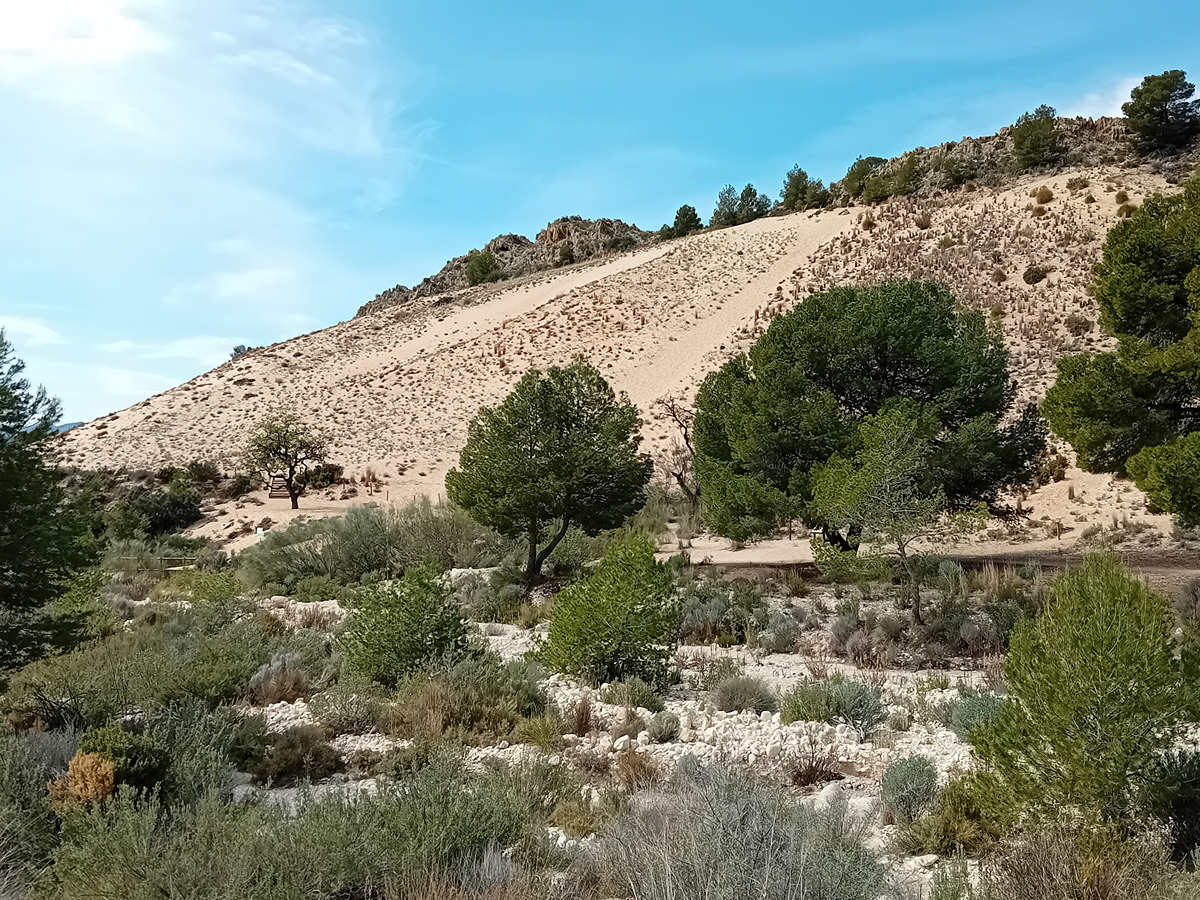
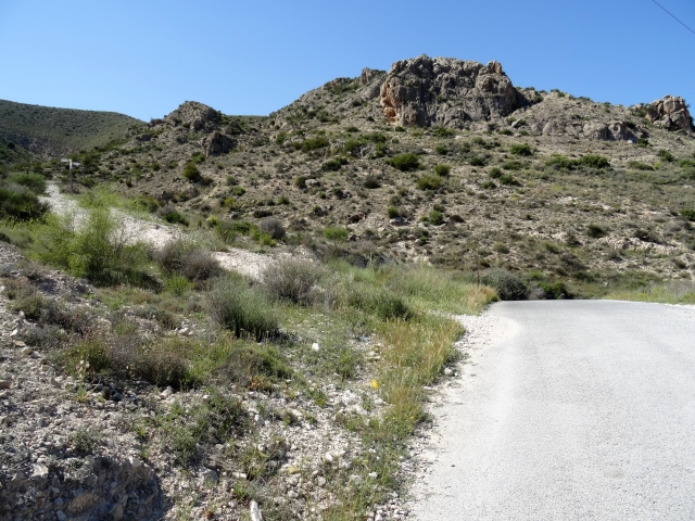
A route that shows the contrasting landscapes of Vinalopó, with areas such as the Salinas mountain range and its lagoon, a wildlife reserve.
Trail:
Loop with some overlapping out and back sections
Other trails connecting with this trail
GR 7 E50 CASTALLA - ELDA
Promoter: Generalitat Valenciana
Certification status: Positive quality control
Etapa número: 50
Reference municipality: Castalla
Length: 24,00 km
Estimated walking time: 07:10:00
Elevation gain: 445 m
Elevation loss: 715 m
(0)

PR-CV 159 FINCA PEÑA SOL - EL PLANO
Promoter: Diputación de Alicante
Certification status: De-registered / De-approved
Reference municipality: Villena
(0)
Reference municipality: Elda
Length: 11,80 km
Estimated walking time: 03:25:00
Elevation gain: 230 m
Elevation loss: 230 m
(0)
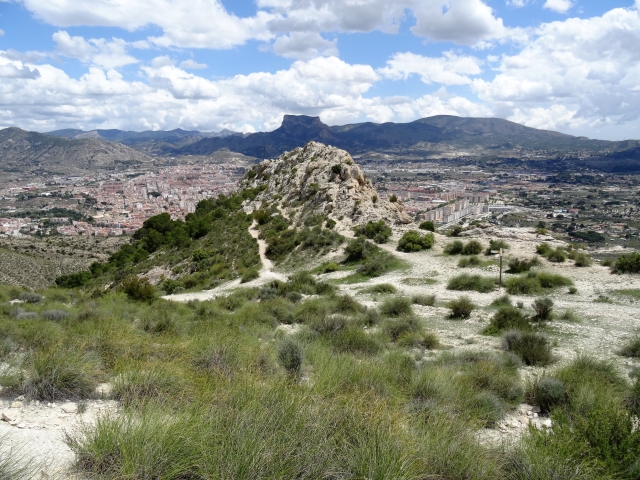
PR-CV 196 VUELTA A BOLÓN
Promoter: Ayuntamiento de Elda
Certification status: Positive quality control
Reference municipality: Elda
Length: 7,20 km
Estimated walking time: 02:20:00
Elevation gain: 245 m
Elevation loss: 245 m
(0)
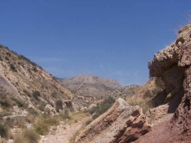
PR-CV 196.1 CUMBRE BOLÓN
Promoter: Ayuntamiento de Elda
Certification status: Positive quality control
Reference municipality: Elda
Length: 3,80 km
Estimated walking time: 01:35:00
Elevation gain: 275 m
Elevation loss: 280 m
(0)
PR-CV 221 CAMARA - CAÑADA REAL
Promoter: Ayuntamiento de Elda
Certification status: No quality controls
Reference municipality: Elda
Length: 16,50 km
Estimated walking time: 04:15:00
(0)
PR-CV 292 VÍA AUGUSTA - LAGUNA DE SALINAS
Promoter: Ayuntamiento de Salinas
Certification status: Negative quality control
Reference municipality: Salinas
Length: 9,50 km
Estimated walking time: 02:40:00
Elevation gain: 135 m
Elevation loss: 185 m
(0)