Rate this trail

PR-CV 277 PENYA EL FRARE

Promoter: Ayuntamiento de Muro de Alcoy

Certification status: Positive quality control

4 reviews
Trail:
Loop with some overlapping out and back sections
Technical data:
Length:
10,00 km
Estimated walking time:
03:25:00
Elevation gain:
420 m
Elevation loss:
420 m
MIDE ratings:
Level of natural risks:
2
Navigation on the trail:
2
Hiking difficulty:
2
Fitness level needed:
3

More information on Montaña Segura

Difficulty rating according to FEDME:
Unknown
Starting point:
Interest Tags:
Trail with environmental interes
Useful information:
Date of certification:
15-01-2003
Date of the last Quality Control:
october de 2020
Reference municipality:
Otros municipios por los que transcurre:
District:
Province:
Alicante/Alacant
Cartography IGN MTN25:
0821-1

Downloadable from the Catalogue of the IGN Map Library

See other trails of this promoter:
Protected Natural Spaces:

We advise you to look up the regulations and/or authorisations for using the trails in these conservation areas on the website of the Conselleria de Medio Ambiente, Agua, Infraestructuras y Territorio

  • Sierra de Mariola (Natural Park)
Key points of the route:

Ermita de Sant Antoni Abad (chapel) - Vía Verde Tren Xitxarra (green way) - Caseta del Tren (halt) - Camino viejo de Muro (path) - Alt Penya Frare (peak) - Pont de la Vía (bridge) (Alcoi - Xativa)

Route description (only available in Spanish)

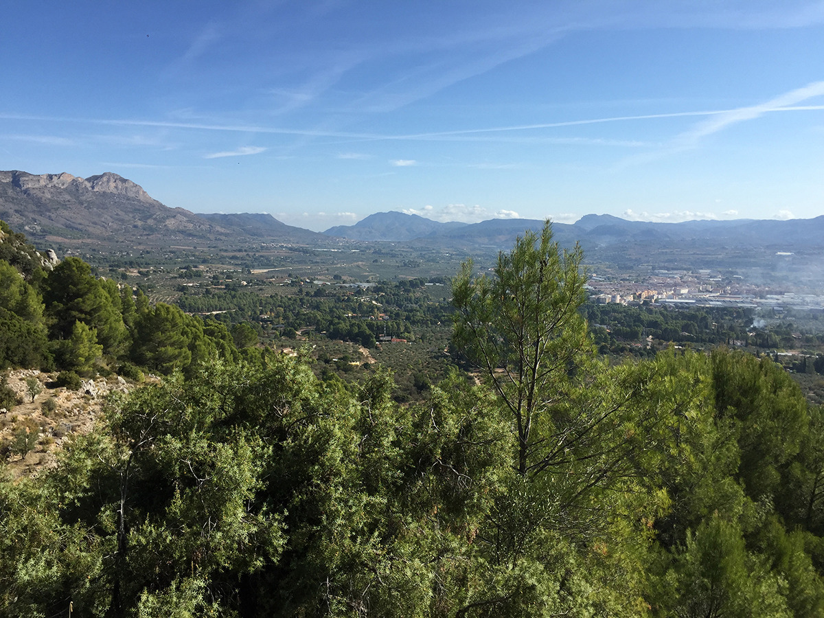
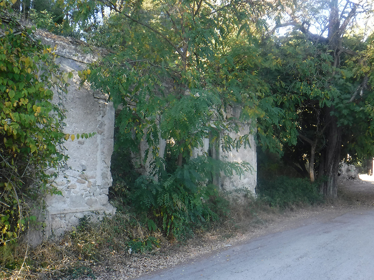
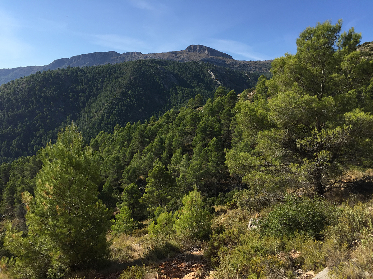
El punto de partida y final es la Ermita de Sant Antonio. Iniciamos el recorrido por el Cami Raco Roca, pasaremos por una fuente de agua potable y llegamos a la Vía Verde Xitxarra. Continuaremos a la derecha hasta llegar a un apeadero en ruinas (caseta del tren Muro-Cieza), unos metros adelanta nos desviamos por una senda a la derecha paralela al ferrocarril, volviendo después a la vía verde pasando otra fuente de agua potable. Llegaremos a un cruce y cogeremos el camino de la izquierda, pasando por una casa con una pinada, el camino se convierte en senda (Camí vell de Muro) que nos llevara a la pista que va a Agres, tomaremos dicha pista a la izquierda, pasando por debajo del puente del ferrocarril, al llegar al siguiente cruce, continuamos por el camino de la izquierda en ascenso hasta el siguiente cruce, tomaremos la pista de la izquierda que nos llevará al punto más alto del recorrido, el Alt de la Penya del Frare. Comenzamos el descenso, pasando por una casita bajo un gran pino, al pasar por debajo del puente del tren, tomaremos la senda a la izquierda a buscar el camino Raco Roca y por el mismo llegaremos al cruce de explanación del ferrocarril Xitxarra donde ya habíamos pasado y a buscar la ermita de Sant Antonio, punto de salida y llegada.

Downloads:

Beware! Navigation devices may fail, batteries may run out of power and devices may break down. Do not use only electronic means to track your activities in the mountains; they must be used as a complement to the map and compass. Get some proper training and enjoy the mountains.

Other trails connecting with this trail