Rate this trail

PR-CV 281 LA PEÑA LA MINA

Promoter: Ayuntamiento de Hondón de las Nieves

Certification status: Conditioned quality control

0 reviews

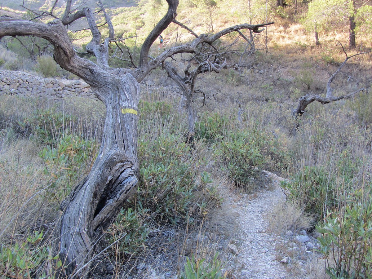
Following the inspection carried out by trail technicians, this trail has been declared of "limited adequacy" as a result of the faults detected in the signage. These include inadequate horizontal signs (paint markers) and/or vertical ones (trailheads and information boards) or lacking direction markers that do not provide sufficient information to properly follow the route. The builder of this trail has been informed of the situation.
For safety reasons and during maintenance work, it is advised to be extremely careful while taking this route. Furthermore, mountain sports entail risks associated with the activity itself and the environment where they take place, for which any person is fully liable. For this reason, hikes need to be planned properly and adequate training, equipment and sensible use of the trails are required.

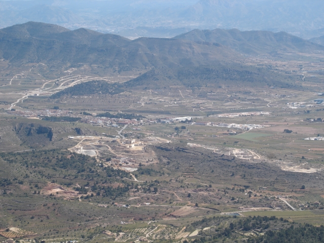
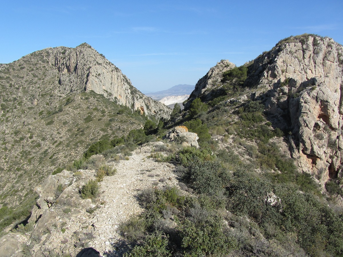
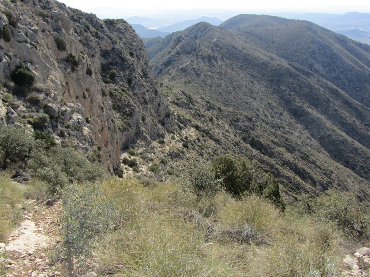
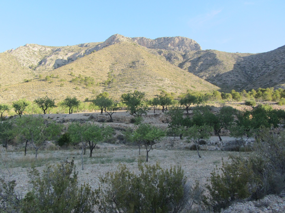
Interesting trail that combines stretches of road with rocky areas on the crest of the Algaiat mountain range, where it offers very nice and spectacular views of the two slopes. It highlights the summit of the Peña de la Mina, with its 1,053 m high, the end point of the route.

Trail:
One way (point-to-point)
Technical data:
Length:
6,30 km
Estimated walking time:
02:55:00
Elevation gain:
615 m
Elevation loss:
55 m
MIDE ratings:
Level of natural risks:
4
Navigation on the trail:
2
Hiking difficulty:
3
Fitness level needed:
2

More information on Montaña Segura

Difficulty rating according to FEDME:
Unknown
Useful information:
Date of certification:
15-04-2004
Date of the act of registration in the Public Register:
22-05-2007
Date of the last Quality Control:
may de 2024
District:
Province:
Alicante/Alacant
Cartography IGN MTN25:
0892-2

Downloadable from the Catalogue of the IGN Map Library

See other trails of this promoter:
Protected Natural Spaces:

We advise you to look up the regulations and/or authorisations for using the trails in these conservation areas on the website of the Conselleria de Medio Ambiente, Agua, Infraestructuras y Territorio

  • Umbría del Algaiat (Flora Micro-reserve)
Key points of the route:

La Canalosa (connection PR-CV 280) - La Solana - La Cava - La Peña La Mina (peak)

Route description (only available in Spanish)

Desde la plaza de la Canalosa tomamos dirección a Hondón de las Nieves por la CV-843. Nada más salir del pueblo debemos seguir la carretera que pasa por detrás de la iglesia. Tras ascender por una empinada cuesta asfaltada la carretera se convierte en pista de tierra. Unos 200 metros después nos encontramos con la primera bifurcación, la cual tomaremos en dirección O. Seguimos siempre por el camino principal, desechando los pequeños caminos izquierda y derecha que encontremos.

Llegaremos a un cruce con otro camino de tierra debiendo seguir ahora dirección E, paralelo a la sierra. La primera bifurcación de la pista a izquierda la debemos desechar, pero en unos 500 metros llegaremos a un cruce más importante donde debemos tomar dirección N directos a la sierra. Seguimos la pista hasta su final justo en medio de campos de cultivo de almendros. Ahora, por el margen izquierdo de los bancales cruzamos por un bancal abandonado y entramos en el monte por una pendiente. Esta zona es conocida como el Racó Oscur. Tras el desnivel se llega al cambio de pendiente, antiguo camino de acceso al collado del Alto de la Solana.

Llegamos a una zona boscosa próxima a una vaguada. El sendero va entre los pinos haciendo varios zig-zag y cruzando la vaguada. Nada más cruzar la vaguada toma dirección NO, bordeando el alto de la Solana hasta llegar a la Cava.

Una vez en el alto de la Cava hay que seguir el cordal en dirección O, pasando por la microreserva de la Umbría de la Sierra de la Cava hasta llegar al collado del Algaiat, ya muy próximos a la cumbre. Desde el collado y por la parte de solana de la sierra llegaremos a la Peña de la Mina de 1.053 metros. Este último tramo es el más abrupto del recorrido debiendo llevar cuidado en la progresión.

Downloads:

Beware! Navigation devices may fail, batteries may run out of power and devices may break down. Do not use only electronic means to track your activities in the mountains; they must be used as a complement to the map and compass. Get some proper training and enjoy the mountains.

Other trails connecting with this trail