Rate this trail

PR-CV 330 SENDERO DE LA ESCARIGÜELA

Promoter: Ayuntamiento de Alpuente

Certification status: Conditioned quality control

0 reviews

Following the inspection carried out by trail technicians, this trail has been declared of "limited adequacy" as a result of the faults detected in the signage. These include inadequate horizontal signs (paint markers) and/or vertical ones (trailheads and information boards) or lacking direction markers that do not provide sufficient information to properly follow the route. The builder of this trail has been informed of the situation.
For safety reasons and during maintenance work, it is advised to be extremely careful while taking this route. Furthermore, mountain sports entail risks associated with the activity itself and the environment where they take place, for which any person is fully liable. For this reason, hikes need to be planned properly and adequate training, equipment and sensible use of the trails are required.

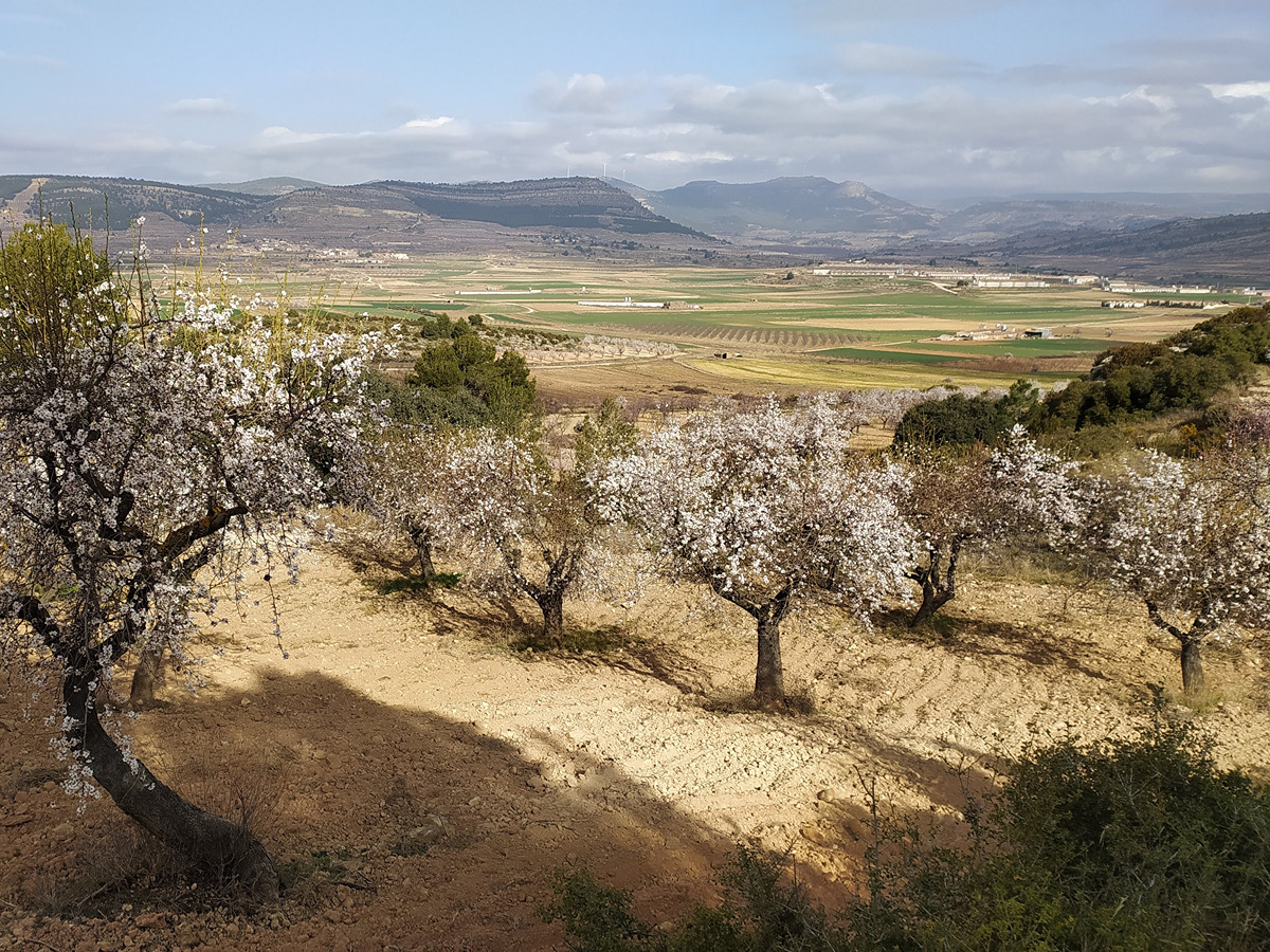
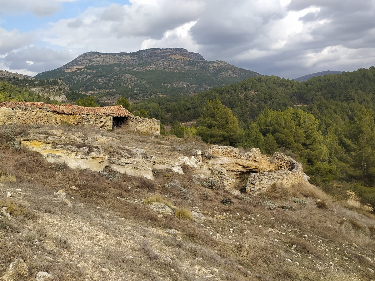
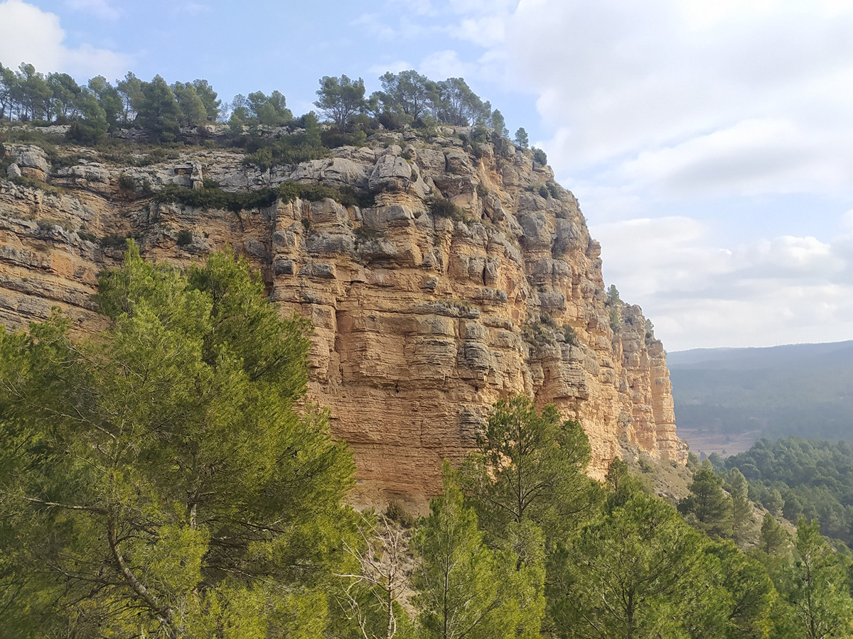
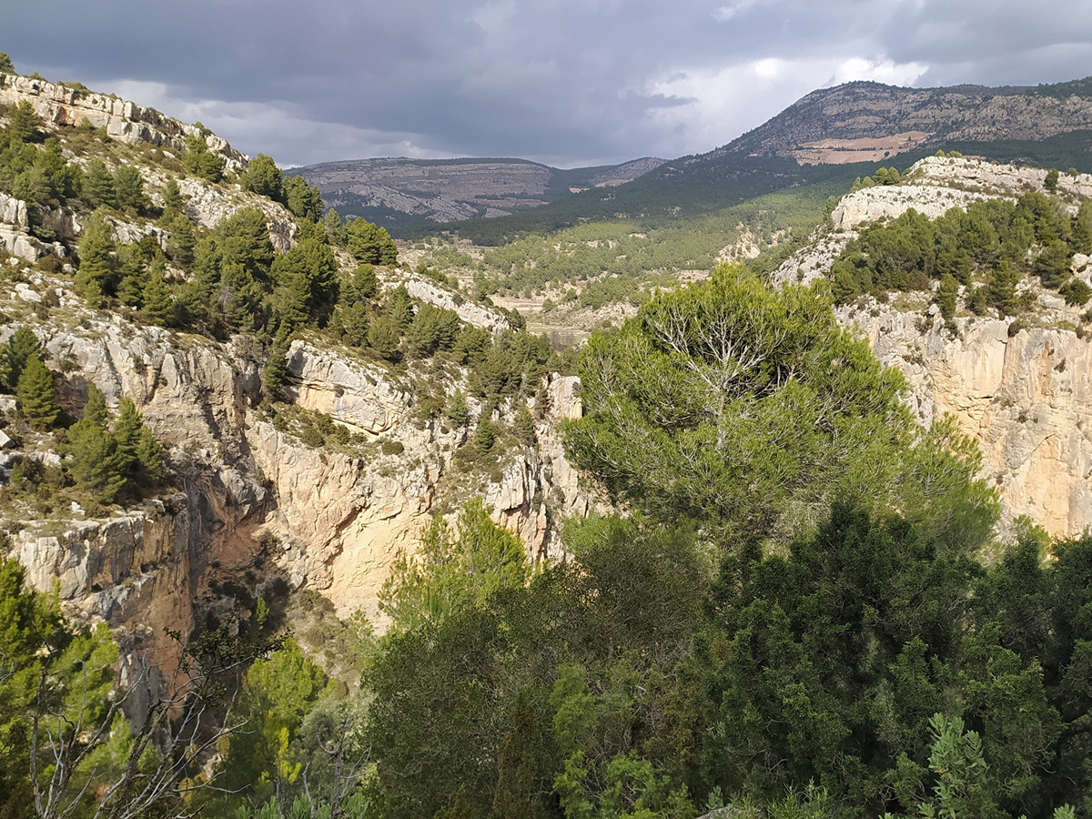
This trail offers landscapes such as the panoramic views of Alpuente, Campo de Titaguas, the Reguero valley, as well as a few waterfalls and pools that you can find in rainy seasons.

Trail:
Loop with some overlapping out and back sections
Technical data:
Length:
13,10 km
Estimated walking time:
04:05:00
Elevation gain:
375 m
Elevation loss:
375 m
MIDE ratings:
Level of natural risks:
1
Navigation on the trail:
2
Hiking difficulty:
2
Fitness level needed:
3

More information on Montaña Segura

Difficulty rating according to FEDME:
Unknown
Useful information:
Date of certification:
15-09-2006
Date of the last Quality Control:
may de 2022
Reference municipality:
District:
Province:
Valencia/València
Cartography IGN MTN25:
0638-2; 0638-4; 0666-1; 0662-2

Downloadable from the Catalogue of the IGN Map Library

See other trails of this promoter:
Protected Natural Spaces:

We advise you to look up the regulations and/or authorisations for using the trails in these conservation areas on the website of the Conselleria de Medio Ambiente, Agua, Infraestructuras y Territorio

  • Alto Turia y Sierra del Negrete (SPAB - Special Protection Area for Birds)
Weather information:
Key points of the route:

Campo de Abajo - Aljibe Herrado (cistern) - Loma del Chinchel (hillock) - Camino de Chelva (path) - Fuente Arquela (spring) - Senda de la Escarigüela (path) - Campo de Abajo

Route description (only available in Spanish)

Salimos de la aldea por la calle principal en dirección sur y antes de llegar al grupo de granjas nos desviamos por el primer camino a la izquierda. En apenas 300 m llegamos a un cruce de caminos donde nos desviamos a la izquierda. A unos 500 m llegaremos a un punto desde donde se inicia la parte circular del recorrido.

Seguimos por la derecha en dirección a la fuente de Arquela para subir por la loma del Chinchel y bordearla por su vertiente oeste durante 1 km aproximadamente. Bajamos de la Loma al camino y en pocos metros el sendero se desvía por la derecha para bordear un campo de almendros. El sendero continúa en dirección sur hasta llegar a un camino junto al que vemos un navajo. Lo cruzamos para seguir por el camino que discurre por un cortafuegos, en dirección sur, algo más de un kilómetro, hasta llegar al cruce con otro camino. En ese punto, continuamos por el de la izquierda.Seguiremos en esta dirección durante casi 3 km, primero por un cortafuegos y después junto al barranco del Chinchel, hasta desembocar en el camino de Chelva, donde seguimos hacia la izquierda. Caminamos un buen trecho en dirección norte con el Reguero a nuestra izquierda. Pasamos junto a dos despoblados del término de Alpuente, las Casas de Arquelilla a nuestra izquierda y las Casas de Arquela después, justo antes de llegar al área recreativa de la fuente de Arquela. Por detrás del área recreativa veremos un camino que sube hasta unos corrales abandonados para continuar por la antigua senda de la Escarigüela. Llegamos al punto final del recorrido circular. Desde este punto volvemos a Campo de Abajo por el mismo camino de ida

Downloads:

Beware! Navigation devices may fail, batteries may run out of power and devices may break down. Do not use only electronic means to track your activities in the mountains; they must be used as a complement to the map and compass. Get some proper training and enjoy the mountains.

Comments:

El tramo entre Alpuente y Campo de Abajo no está homologado por lo que no se recomienda su tránsito.