Cambiar idioma a español / Cambiar idioma a english / Cambiar idioma a valencià

Rate this trail

PR-CV 336 SENDA DE LA LLOMA

Promoter: Ayuntamiento de Cullera

Certification status: Conditioned quality control

2 reviews

Following the inspection carried out by trail technicians, this trail has been declared of "limited adequacy" as a result of the faults detected in the signage. These include inadequate horizontal signs (paint markers) and/or vertical ones (trailheads and information boards) or lacking direction markers that do not provide sufficient information to properly follow the route. The builder of this trail has been informed of the situation.
For safety reasons and during maintenance work, it is advised to be extremely careful while taking this route. Furthermore, mountain sports entail risks associated with the activity itself and the environment where they take place, for which any person is fully liable. For this reason, hikes need to be planned properly and adequate training, equipment and sensible use of the trails are required.

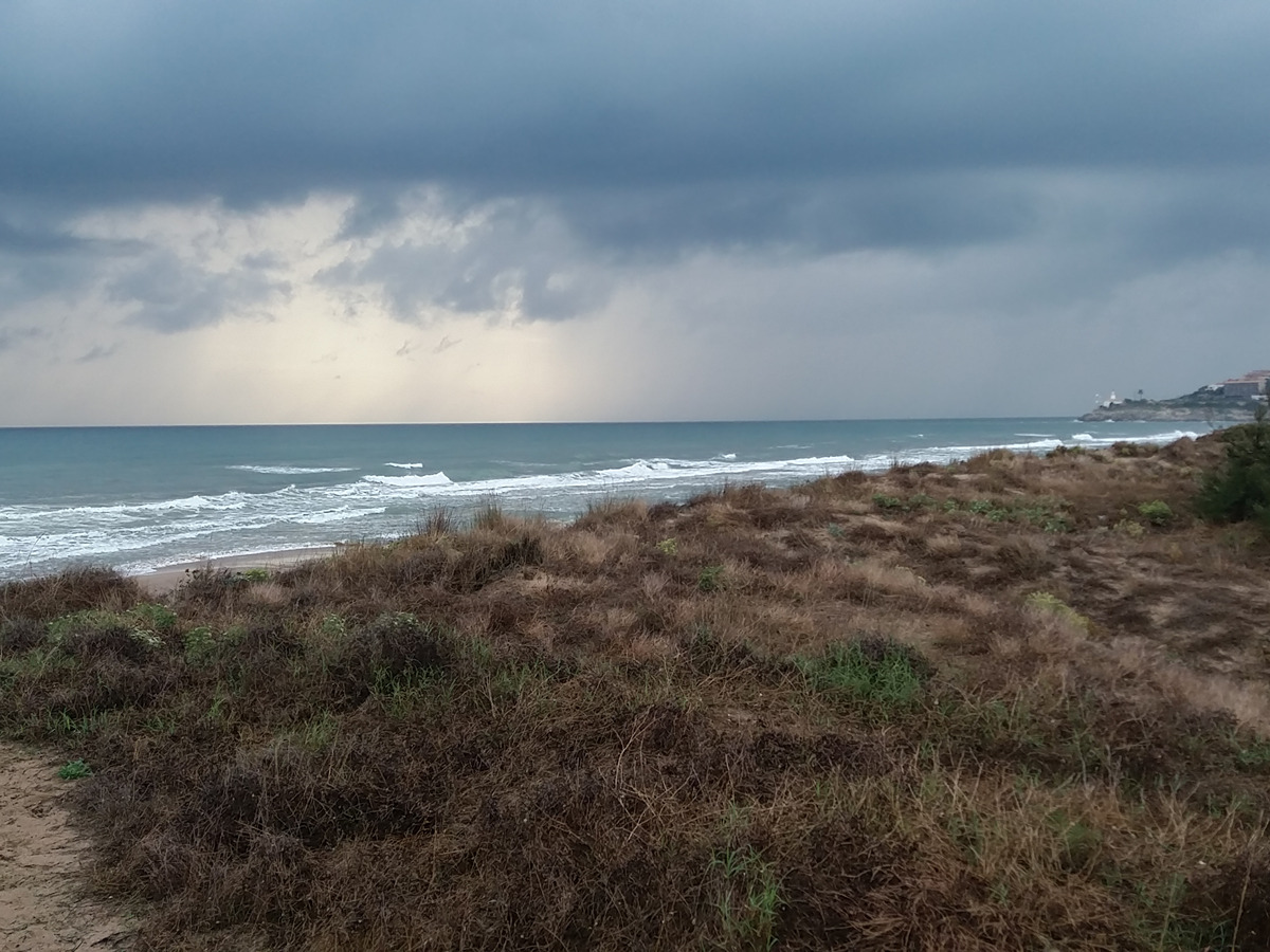
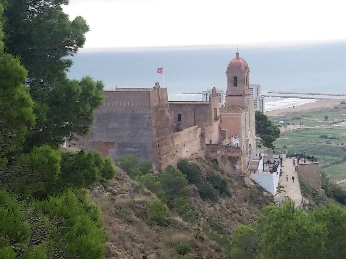
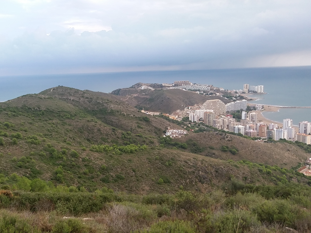
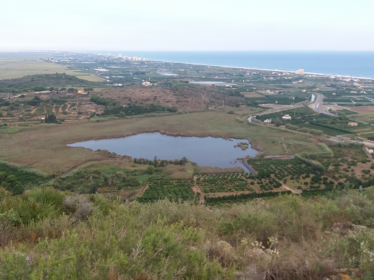
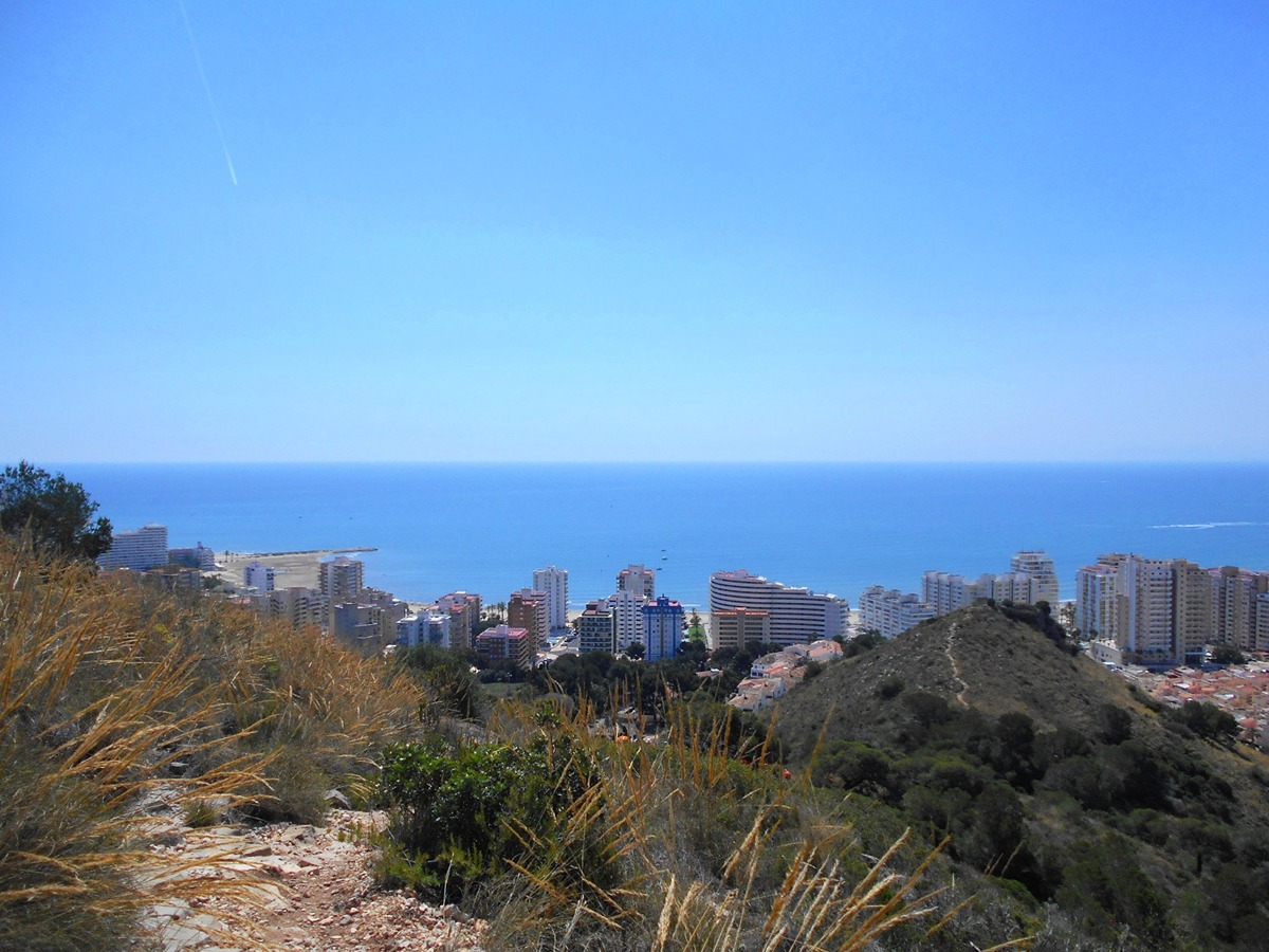
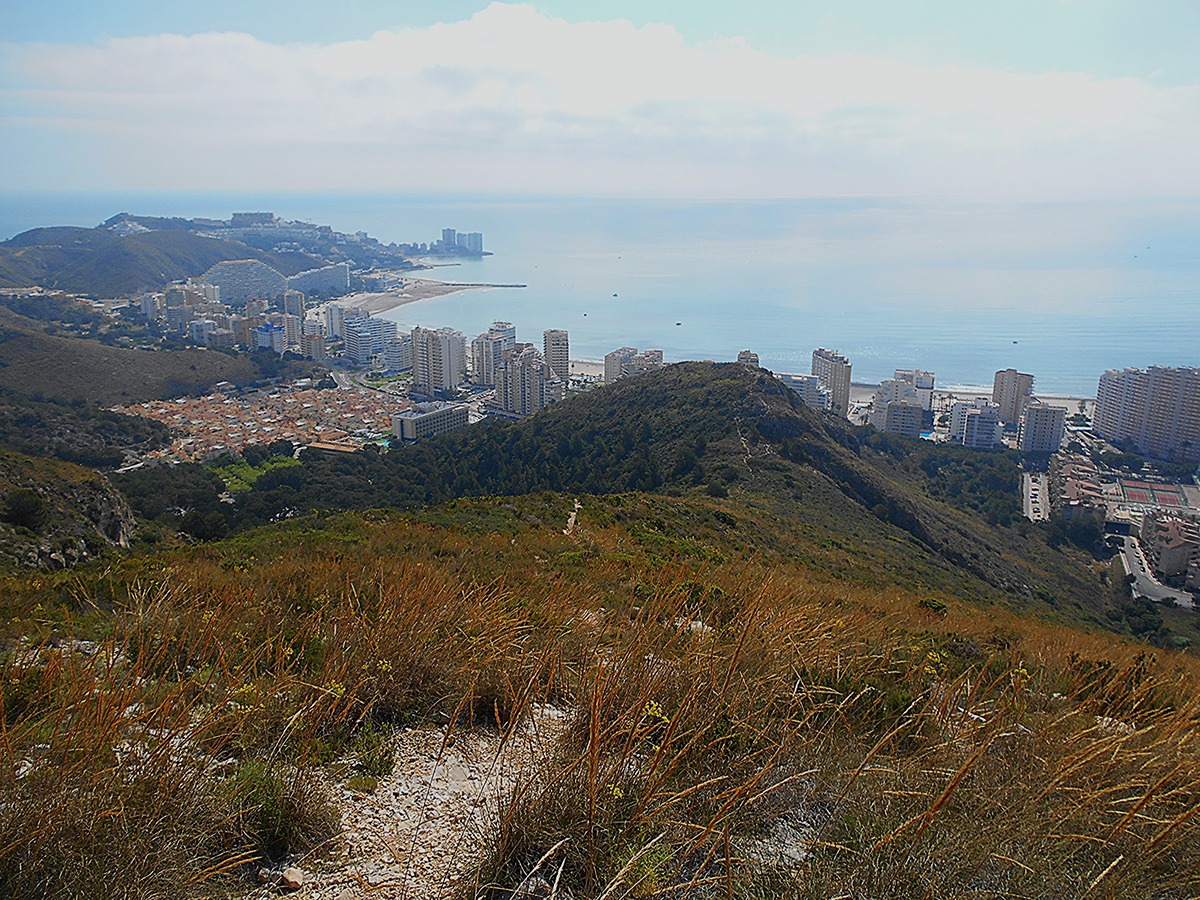
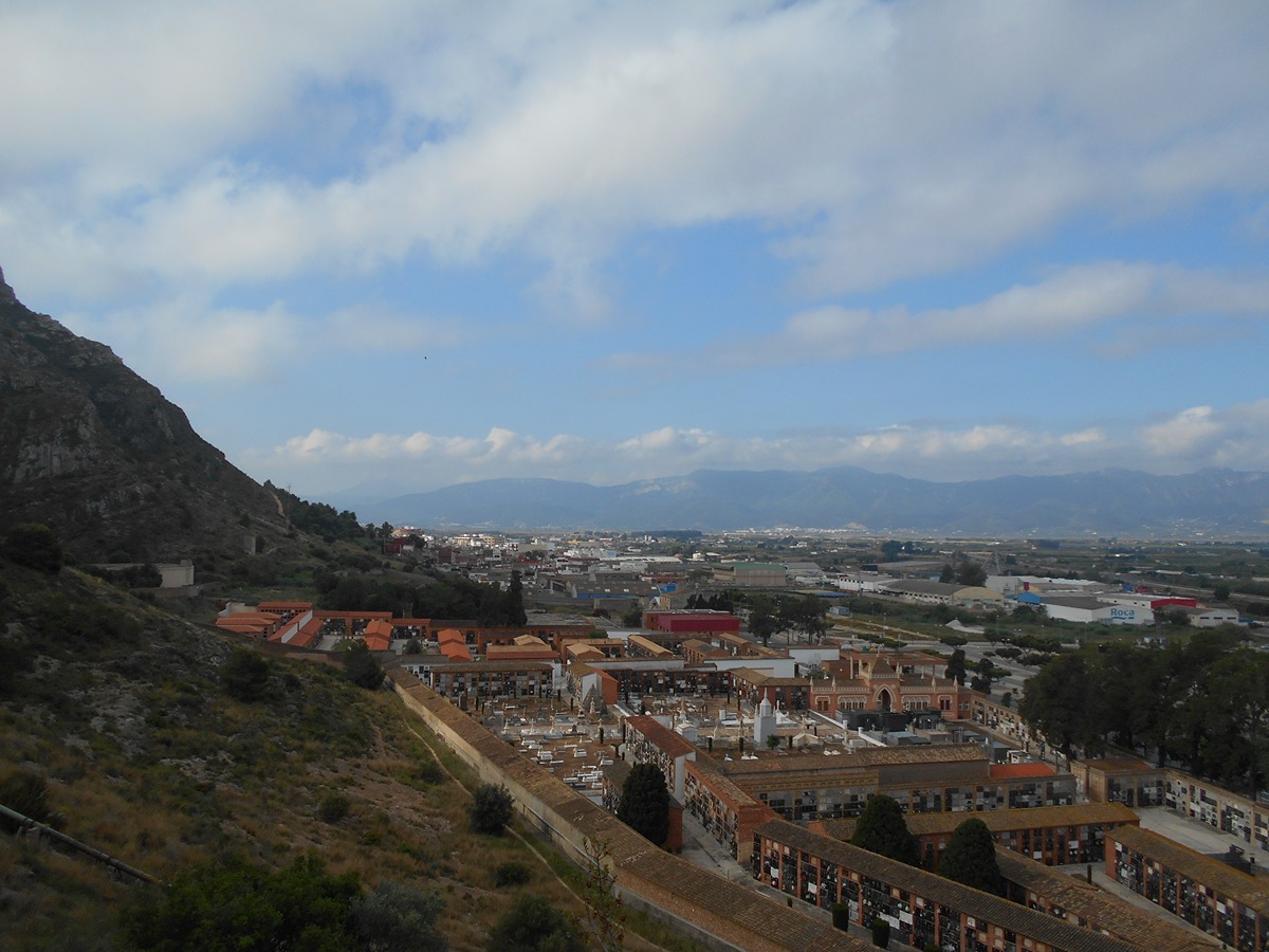
Combining fertile lands, coast and mountain landscapes, the Lloma trail is a great vantage point overlooking the Albufera Natural Park, the mouth of the Xúquer River and the Corbera mountain range, which includes a rich cultural heritage that you can see along the way.

Trail:
Loop
Technical data:
Length:
14,00 km
Estimated walking time:
03:55:00
Elevation gain:
420 m
Elevation loss:
420 m
MIDE ratings:
Level of natural risks:
2
Navigation on the trail:
2
Hiking difficulty:
2
Fitness level needed:
3

More information on Montaña Segura

Difficulty rating according to FEDME:
Unknown
Starting point:
Interest Tags:
Trail with environmental interes
Trail with geological interest
Trail with historical-artistic interest

Useful information:
Date of certification:
15-04-2007
Date of the act of registration in the Public Register:
20-02-2007
Date of the last Quality Control:
september de 2025
Reference municipality:
District:
Province:
Valencia/València
Cartography IGN MTN25:
0747-4; 0770-2

Downloadable from the Catalogue of the IGN Map Library

See other trails of this promoter:
Protected Natural Spaces:

We advise you to look up the regulations and/or authorisations for using the trails in these conservation areas on the website of the Conselleria de Medio Ambiente, Agua, Infraestructuras y Territorio

  • Albufera (SPAB - Special Protection Area for Birds)
  • Albufera (SIC - Site of Community Interest)
  • Albufera (Natural Park)
Weather information:
Nearest AVAMET weather station
Key points of the route:

Cemetery - Urb. Buenavista (residential area) - Camino del Primer Coll (road) - Acequia de Sant Llorenç (irrigation ditch) and CV-503 - Playa del Dosser (beach) - Faro de Cullera (lighthouse) - Montaña de Cullera (mountain) - Alt del Fort (peak) - Castillo de la virgen del Castillo (fort) - Santuario de la virgen del Castillo (sanctuary) - Cemetery

Route description (only available in Spanish)

Desde la esquina norte del cementerio seguimos la acera de la carretera CV-502 y entramos en la Urb. Buenavista. Subimos por la C/ Lloma dels Cabeçols para girar por la C/ del Single. En la rotonda seguimos por la C/ Costa Altur. Antes de llegar a la antigua ctra. de Nazaret a Oliva tomamos el camino del Primer Collado.

Bordeamos el alto del Cabeçol y la balsa de Sant Llorenç para salir a la acequia de Sant Llorenç que seguimos por la izquierda para, más adelante, cruzar la CV-503 y adentrarnos por el camino de la entrà del pont del Polit entre campos y diseminados hasta la playa del Dosser. Caminaremos paralelos al mar y subiremos por el paseo hasta el faro de Cullera donde el sendero gira y sigue subiendo por la C/ Montgó y la C/ Nevers hasta la urb. Altavista donde unas escaleras suben a un depósito y a la C/ del Azahar que seguimos hasta la parte alta. Descendemos por la C/ Serra Mariola para coger un ramal abandonado que se adentra en la montaña y donde empieza la senda de la Lloma.

Siguiendo el cordal de la sierra llegamos a las instalaciones meteorológicas (radar). Ahora, el sendero baja para bordear el alto pasando por encima del cartel de Cullera hasta el Fuerte. Descendemos entre pinos hasta el castillo y el santuario de la Virgen del Castillo que bordeamos para bajar por el viacrucis y continuar por las vallas de contención de riesgos geológicos. Cruzamos la muralla carlista y el sendero termina en la parte posterior del cementerio que bordeamos para llegar al inicio del PR.

Downloads:

Beware! Navigation devices may fail, batteries may run out of power and devices may break down. Do not use only electronic means to track your activities in the mountains; they must be used as a complement to the map and compass. Get some proper training and enjoy the mountains.

Alternative routes and routes leading to nearby points of interest