Rate this trail

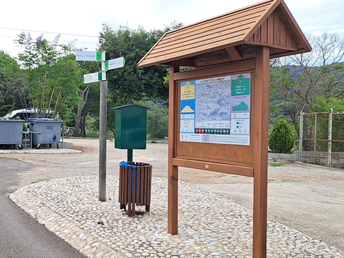
PR-CV 347 RUTA DELS ASSAGADORS I CIM DE COVATELLES

Promoter: Ayuntamiento de la Font d'en Carròs

Certification status: Conditioned quality control

0 reviews

Following the inspection carried out by trail technicians, this trail has been declared of "limited adequacy" as a result of the faults detected in the signage. These include inadequate horizontal signs (paint markers) and/or vertical ones (trailheads and information boards) or lacking direction markers that do not provide sufficient information to properly follow the route. The builder of this trail has been informed of the situation.
For safety reasons and during maintenance work, it is advised to be extremely careful while taking this route. Furthermore, mountain sports entail risks associated with the activity itself and the environment where they take place, for which any person is fully liable. For this reason, hikes need to be planned properly and adequate training, equipment and sensible use of the trails are required.

A trail of great cultural and natural interest that runs through a forest area of Pinus halepensis trees. It allows you to ascend from Font d'en Carrós to the summit of Les Covatelles with spectacular views over the Safor region and with glimpses of the Montdúver, the Montgó, the Safor and the Benicadell peaks.

Trail:
Loop
Technical data:
Length:
6,50 km
Estimated walking time:
02:15:00
Elevation gain:
335 m
Elevation loss:
335 m
MIDE ratings:
Level of natural risks:
2
Navigation on the trail:
2
Hiking difficulty:
2
Fitness level needed:
2

More information on Montaña Segura

Difficulty rating according to FEDME:
Unknown
Useful information:
Date of certification:
15-10-2008
Date of the act of registration in the Public Register:
20-10-2015
Date of the last Quality Control:
september de 2022
Reference municipality:
Otros municipios por los que transcurre:
District:
Province:
Valencia/València
Cartography IGN MTN25:
0796-3

Downloadable from the Catalogue of the IGN Map Library

See other trails of this promoter:
Key points of the route:

La Font d'en Carrós (spring) - Barranc de les Fontanelles (ravine) - La Mola (butte) - Senda de l'Estepar (path) - Les Covatelles - Assagador de les Covatelles (cattle track) - Camino dels Jugadors (path) - La Plana - La Font d'en Carròs (spring)

Route description (only available in Spanish)

Salimos por el camí de la Refoia en dirección al cementerio municipal que dejamos a nuestra derecha para seguir por el camí de les Fontanelles, remontando el barranco del mismo nombre (margen derecha mirando aguas abajo), por una pista de hormigón y en la primera curva a la izquierda seguiremos de frente por una senda que se adentra en la pinada y que en ascenso nos llevará al acceso de la Mola. La senda sigue subiendo y nos lleva a varios cruces de los que derivan otras sendas. El primero de ellos va a la cima del Catí y unos 200 metros más adelante encontramos el segundo que va por la senda de l'Estepar hacia el azagador de les Covatelles, en este punto giramos a la izquierda (Rumbo ESE) y continuamos en sentido ascendente siempre hasta la cima de Les Covatelles. Desde la cima seguimos por la derecha (rumbo SO) y empezamos el descenso. Nos cruzaremos primero con la senda del Estepar que dejamos a nuestra derecha, para más adelante continuar por el azagador de les Covatelles. Llegamos a un cruce donde giramos a la derecha para bajar por un cortafuegos hasta que encontramos a nuestra derecha el camí dels Jugadors, que tomaremos y seguiremos hasta cruzar el barranc de l’Arrullador. Tras subir unos cuantos metros nos cruzamos el camí del Catí que queda a nuestra derecha. Seguimos descendiendo cruzando el barranc de l’Estudiant hasta el alcanzar el cruce con el camí del Assagador, que dejamos a nuestra derecha, para seguir recto y, así, llegaremos al parque de la Plana. Descendemos por camino asfaltado siguiendo el camí de la Plana (calle San Miguel) hasta la rotonda que cruzamos, pasando por el barranc de Fontanelles, para continuar por la calle Barranco. Giraremos a la derecha en la calle Miguel Hernández y en unos metros llegaremos al final del recorrido.

Downloads:

Beware! Navigation devices may fail, batteries may run out of power and devices may break down. Do not use only electronic means to track your activities in the mountains; they must be used as a complement to the map and compass. Get some proper training and enjoy the mountains.

Other trails connecting with this trail