Rate this trail

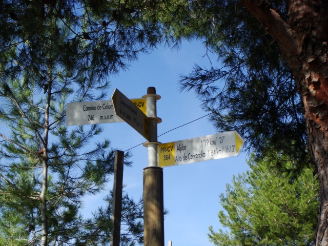
PR-CV 364 SENDERO DE LES ESCALES

Promoter: Ayuntamiento de Sagunto

Certification status: No quality controls

0 reviews

There is no proof of quality control on the record of this trail in the last years. For this reason, it is unknown whether it complies with the optimal signage and maintenance conditions for hikers to take the trail following these signs exclusively.
Hikers have to take into consideration that the information about the signage and maintenance of the trails for which the promoter entity is responsible might not be up to date anymore, since it refers to its state on the date of its approval. Furthermore, mountain sports entail risks associated with the activity itself and the environment where they take place, for which any person is fully liable. For this reason, hikes need to be planned properly and adequate training, equipment and sensible use of the trails are required.

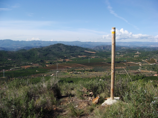
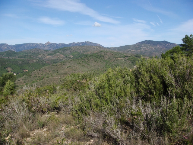
A short route that ascends to the Cerverola peak, the highest point in the municipality of Sagunto, from where you can see much of the Calderona and Espadán mountain ranges as well as the coastal strip.

Trail:
Loop
Technical data:
Length:
4,10 km
Estimated walking time:
01:45:00
Elevation gain:
250 m
Elevation loss:
250 m
MIDE ratings:
Level of natural risks:
2
Navigation on the trail:
2
Hiking difficulty:
3
Fitness level needed:
2

More information on Montaña Segura

Difficulty rating according to FEDME:
Unknown
Starting point:
Useful information:
Date of certification:
15-11-2009
Date of the act of registration in the Public Register:
20-10-2015
Reference municipality:
Province:
Valencia/València
Cartography IGN MTN25:
0668-2

Downloadable from the Catalogue of the IGN Map Library

See other trails of this promoter:
Key points of the route:

Campamento Municipal Les Escales (local campsite) - Alto de la Cerverola (peak) - Camino de Colom (path)- Camino d’Escales (path)

Route description (only available in Spanish)

Desde el panel informativo, tomaremos la pista que nos lleva al Campamento de les Escales, donde desde la amplia pinado tomaremos la senda que sube hasta el Alto de la Cerverola. Una vez en la cima, desdecenderemos por el Camí de Colom, ayudandonos de una escalas de madera para salvar varios taludes.
Continuaremos por este camino de tierra hasta llegar a un cruce con una carretera alfaltada, el Camí d'Escales, que tomaremos a nuestra izquierda (S) hasta llegar de nuevo el punto de partida.

Downloads:

Beware! Navigation devices may fail, batteries may run out of power and devices may break down. Do not use only electronic means to track your activities in the mountains; they must be used as a complement to the map and compass. Get some proper training and enjoy the mountains.