Rate this trail

PR-CV 39.1 SAN LLORENÇ - MIRADOR

Promoter: Centre Excursionista de Tavernes de la Valldigna

Certification status: Positive quality control

1 review

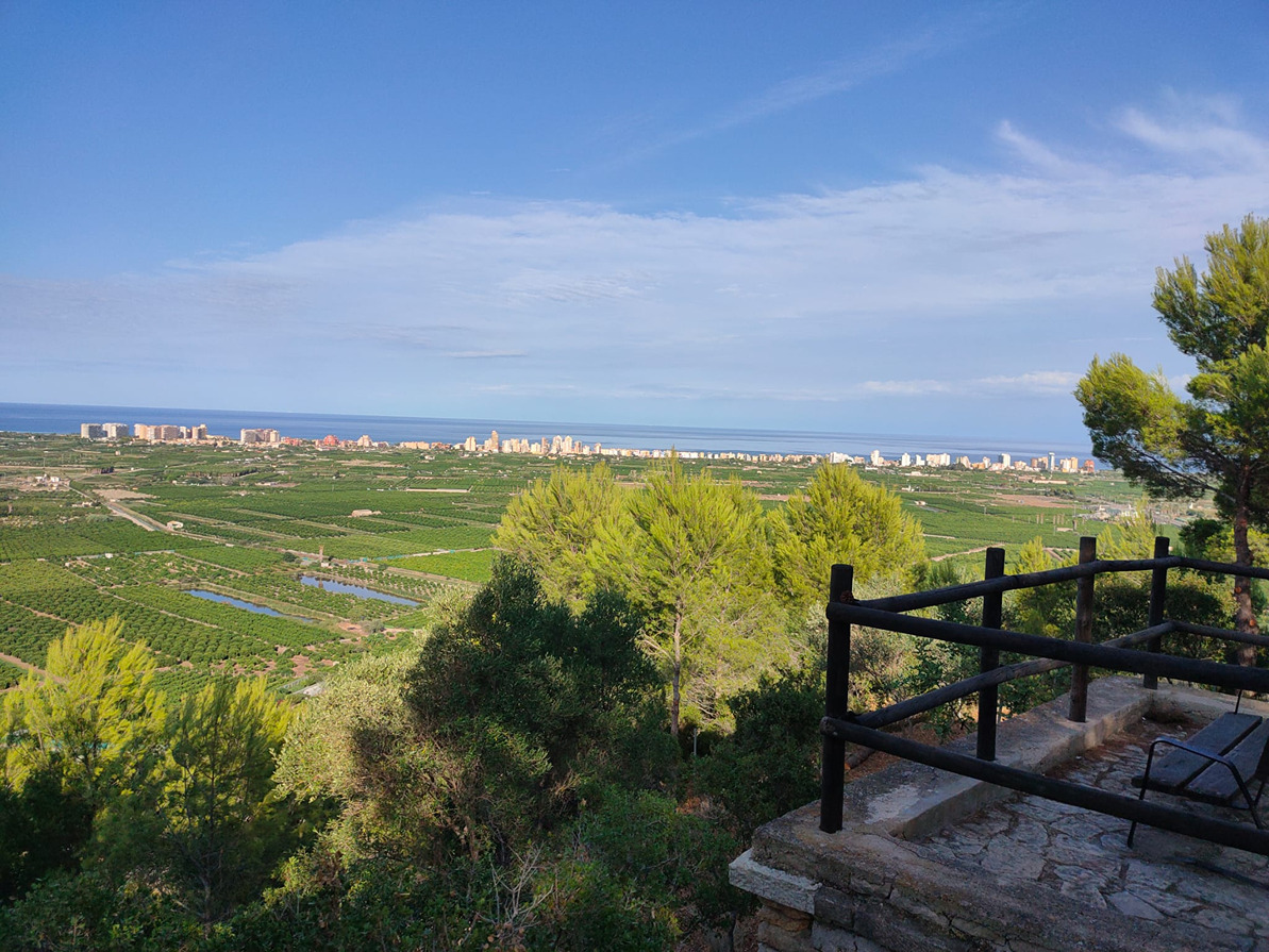
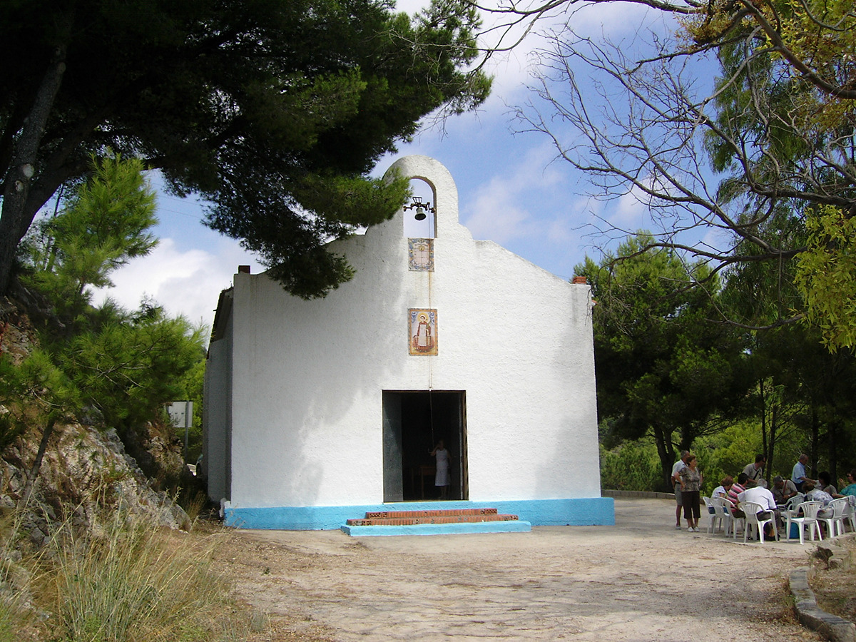
A route that allows you to pass by the recreational area and the Chapel of Sant Llorenç, then approach the Mediterrània viewpoint.
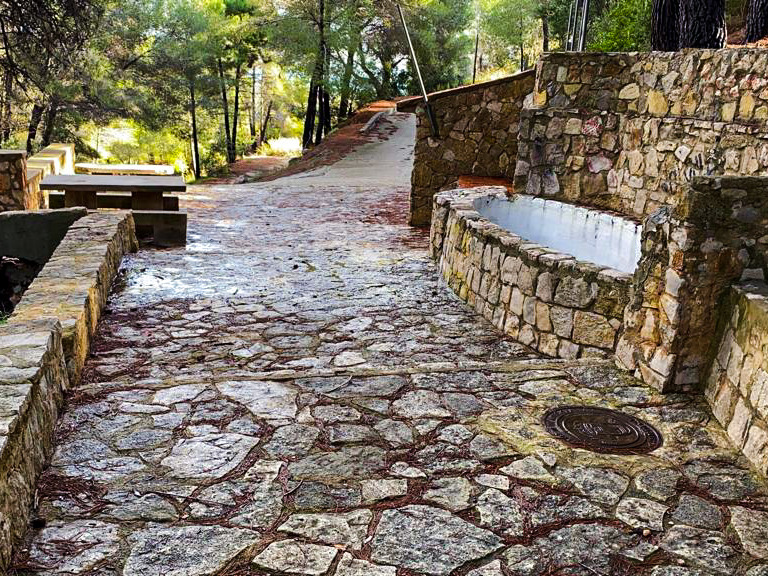
Trail:
One way (point-to-point)
Technical data:
Length:
3,20 km
Estimated walking time:
01:05:00
Elevation gain:
125 m
Elevation loss:
120 m
MIDE ratings:
Level of natural risks:
2
Navigation on the trail:
2
Hiking difficulty:
2
Fitness level needed:
2

More information on Montaña Segura

Difficulty rating according to FEDME:
Unknown
Starting point:
End Point:
Useful information:
Date of certification:
15-10-1994
Date of the act of registration in the Public Register:
22-05-2007
Date of the last Quality Control:
july de 2022
Reference municipality:
District:
Province:
Valencia/València
Cartography IGN MTN25:
0770-2; 0770-4

Downloadable from the Catalogue of the IGN Map Library

See other trails of this promoter:
Protected Natural Spaces:

We advise you to look up the regulations and/or authorisations for using the trails in these conservation areas on the website of the Conselleria de Medio Ambiente, Agua, Infraestructuras y Territorio

  • Sierra de Corbera (SIC - Site of Community Interest)
  • Sierra de Corbera (SAC - Special Area of Conservation)
Key points of the route:

Water deposit (PR-CV 39) - Paraje de Sant Llorenç (natural area) - Camino del Portixol (path) - Mirador de la Mediterrània (viewpoint) - Camino del Mirador (path) (PR-CV 39)

Route description (only available in Spanish)

Desde el depósito de agua bajamos por unas escalas y una senda hasta el área recreativa de Sant Llorenç. Continuamos bajando por la carretera hasta el cruce del camino del Portixol que tomamos a la izquierda hasta el paso inferior de la autopista A7 donde tenemos la oportunidad de acercarse a “els ullas grans”. Seguimos por el camino de la izquierda que pasa por el mirador del Mediterráneo al que podemos acceder por unas escaleras. La variante continúa por el camino del Mirador hasta enlazar con el trazado principal del PR-CV 39.

Downloads:

Beware! Navigation devices may fail, batteries may run out of power and devices may break down. Do not use only electronic means to track your activities in the mountains; they must be used as a complement to the map and compass. Get some proper training and enjoy the mountains.